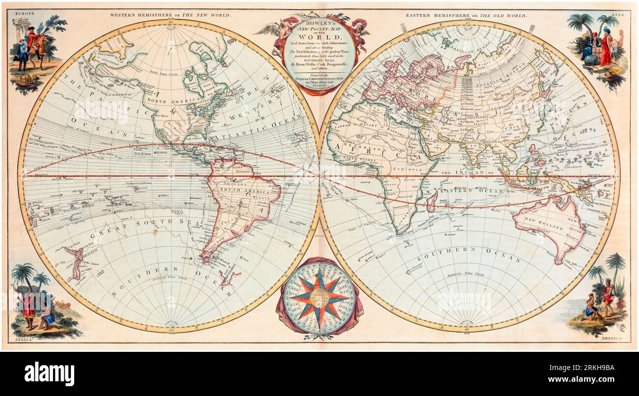
18th Century British Vintage World Map by Carington Bowles, 1780

RMID:Image ID:2RKH9BA
Image details
Contributor:
incamerastock / Alamy Stock PhotoImage ID:
2RKH9BAFile size:
191.5 MB (12.6 MB Compressed download)Releases:
Model - no | Property - noDo I need a release?Dimensions:
11015 x 6076 px | 93.3 x 51.4 cm | 36.7 x 20.3 inches | 300dpiDate taken:
25 August 2023Photographer:
ICPMore information:
This image could have imperfections as it’s either historical or reportage.
"Bowles's new pocket map of the world : laid down from the latest observations and comprehending the new discoveries to the present time, particularly those lately made in the Southern seas, by Byron, Wallis, Cook, Bougainville, and others"