Quick filters:
Maps Stock Photos and Images
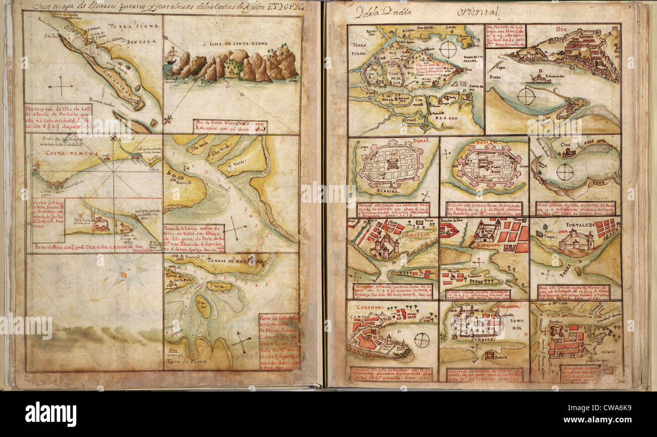
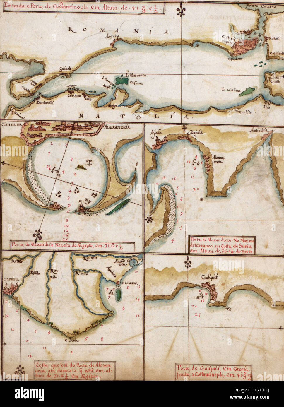
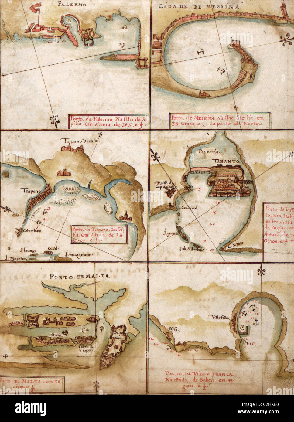
RMCWA6K9–Portuguese maps showing views of port settlements and fortifications in Africa and Asia, from 1630 atlas.
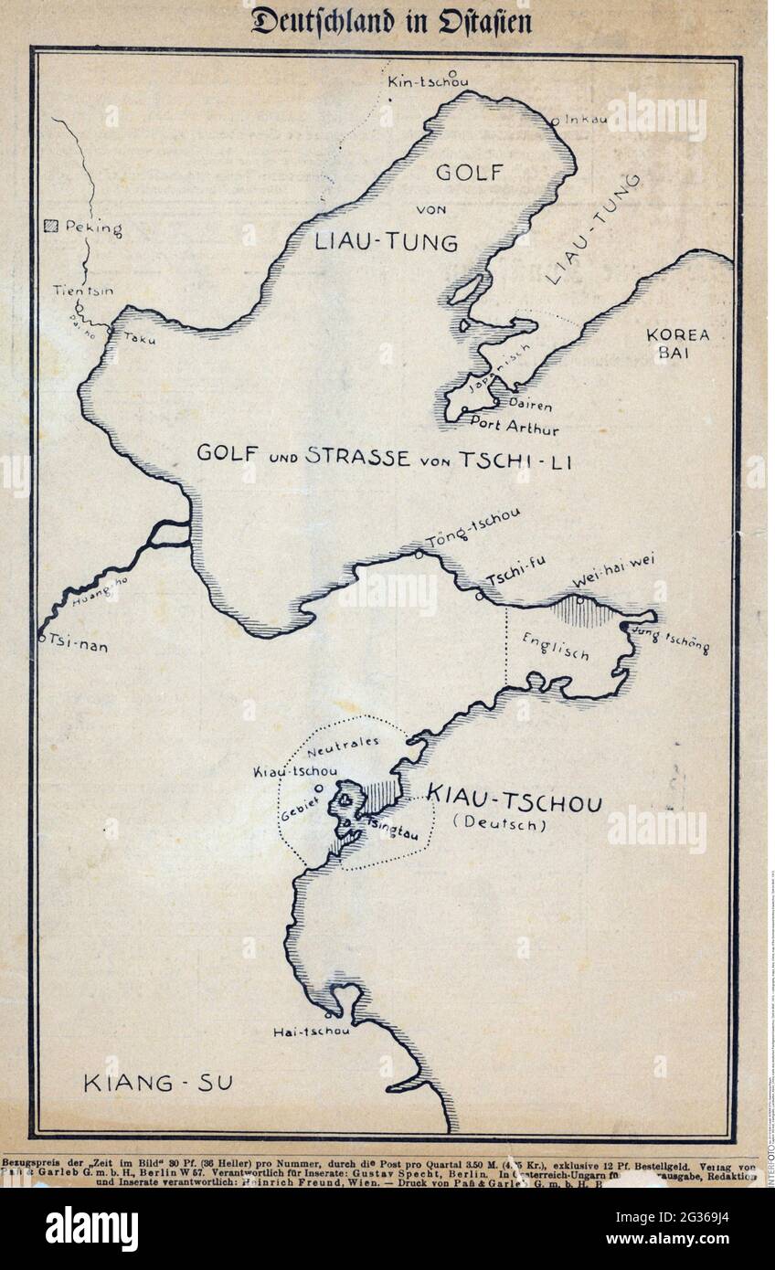
RM2G369J4–cartography, maps, Asia, China, map of the German leased territory Kiautschou, 'Zeit im Bild', 1913, ADDITIONAL-RIGHTS-CLEARANCE-INFO-NOT-AVAILABLE
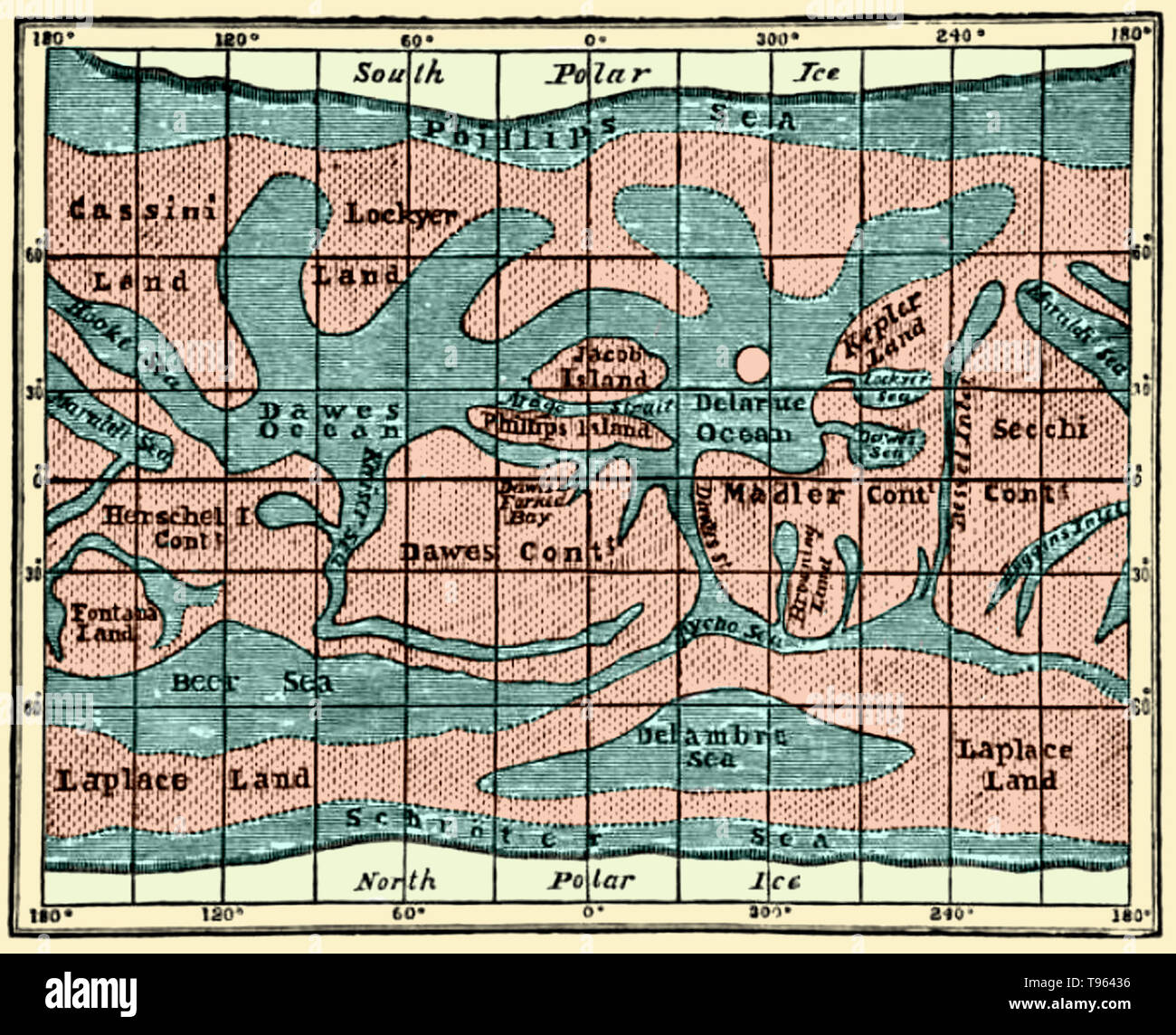
RMT96436–Mars Map. Richard Anthony Proctor (March 23, 1837 - September 12, 1888) was an English astronomer. He is best remembered for having produced one of the earliest maps of Mars in 1867 from 27 drawings by the English observer William Rutter Dawes. Proctor earned a scholarship at St John's College, Cambridge. He graduated in 1860 as 23rd wrangler. He read for the bar, but turned to astronomy and authorship instead, and in 1865 published an article on the Colors of Double Stars.
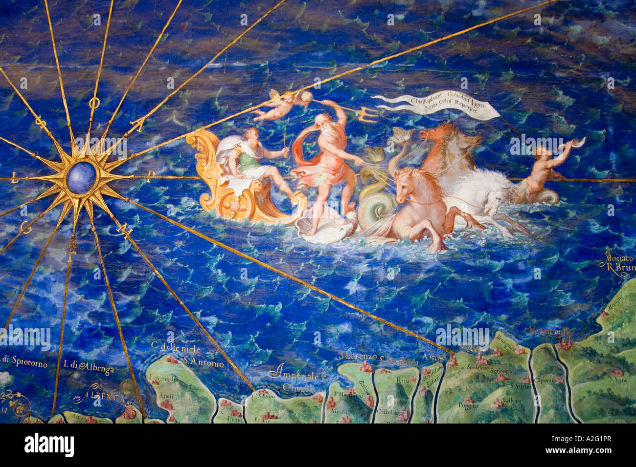
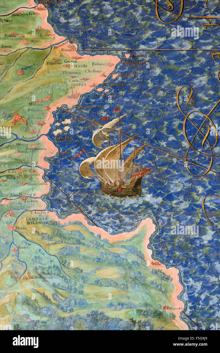
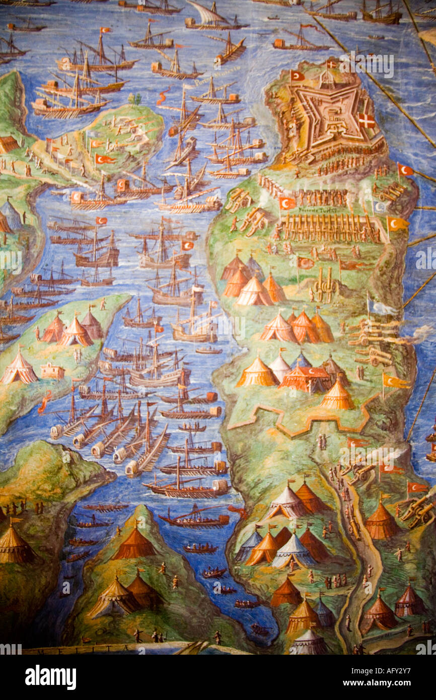
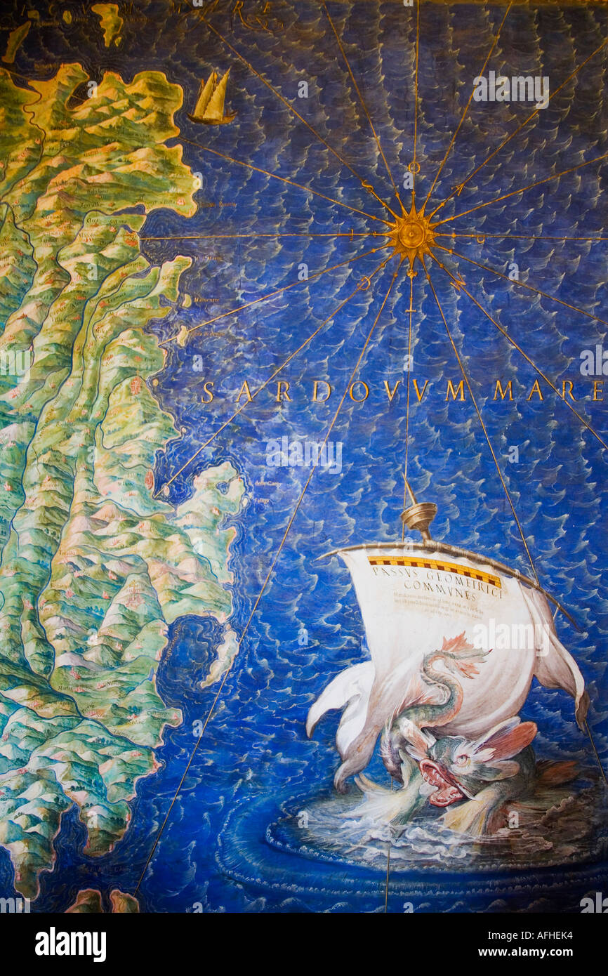
RMA2G1PR–Detail of antique map of Liguria painting in Vatican Museum Room of Maps by Ignazio Danti (1536-1586) The Vatican Rome Italy
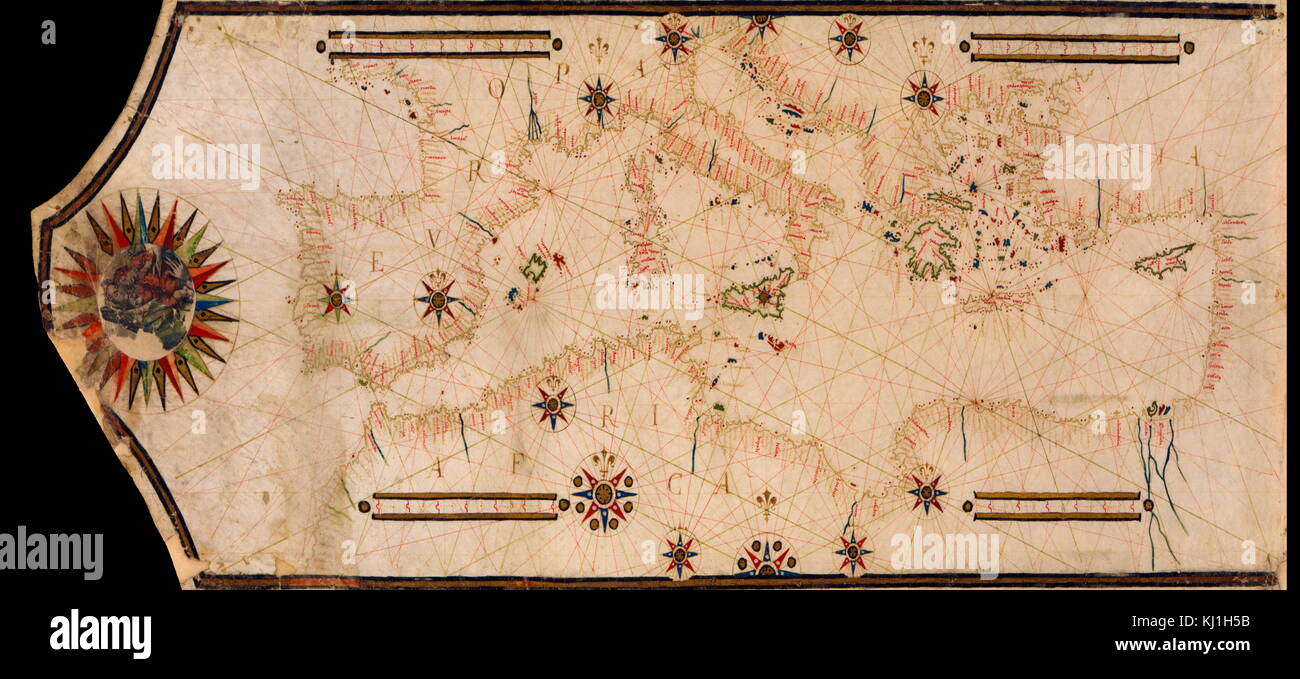
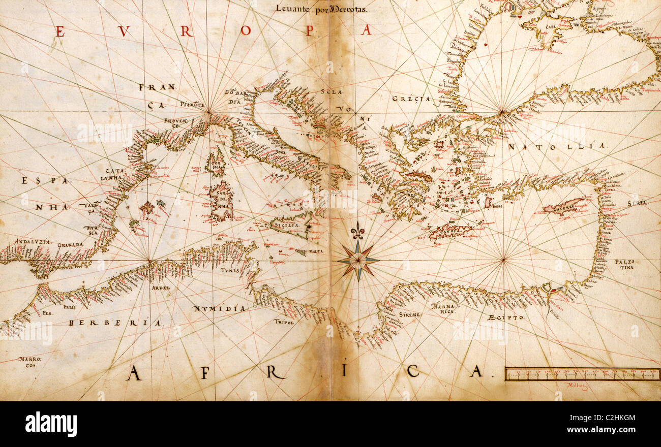
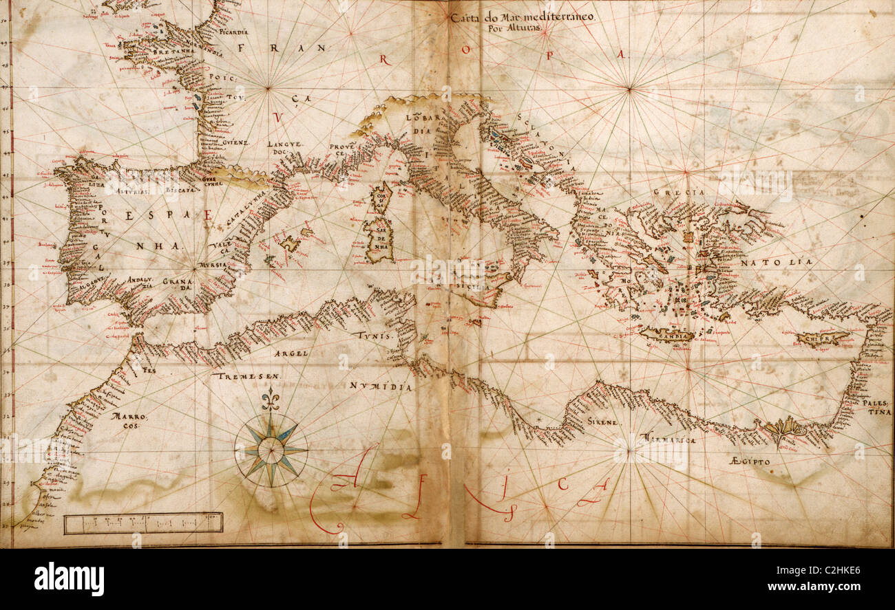
RMKJ1H5B–Portolan Map of the Mediterranean and connecting seas. Portolan or portulan charts are navigational maps based on compass directions and estimated distances observed by the pilots at sea. They were first made in the 13th century in Italy, and later in Spain and Portugal, with later 15th and 16th century charts noted for their cartographic accuracy. With the advent of widespread competition among seagoing nations during the Age of Discovery, Portugal and Spain considered such maps to be state secrets.
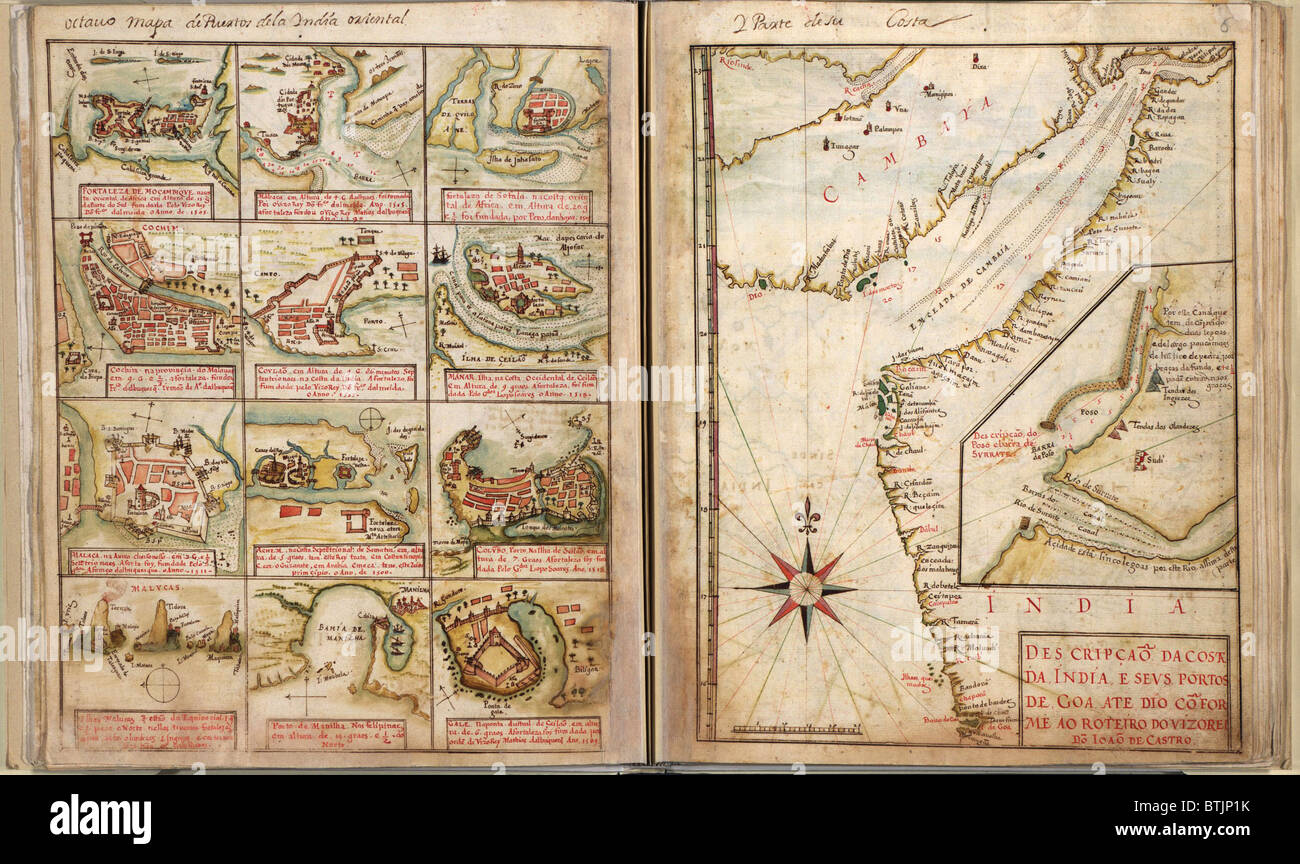
RMBTJP1K–Portuguese maps showing views of port settlements and fortifications in Africa and Asia, from 1630 atlas.
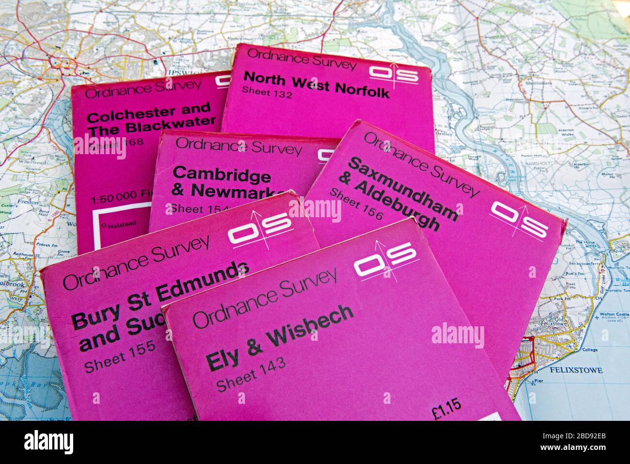
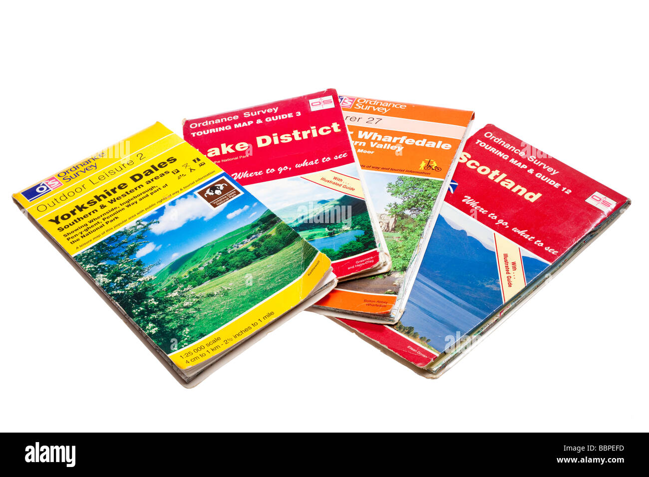
RM2BD92EB–Selection of Ordnance Survey maps of East Anglia displayed on map of the area, England, Britain UK. Price £1.15. Editorial use only
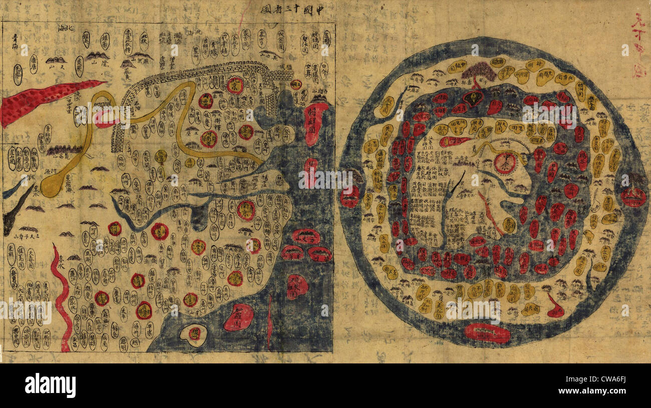
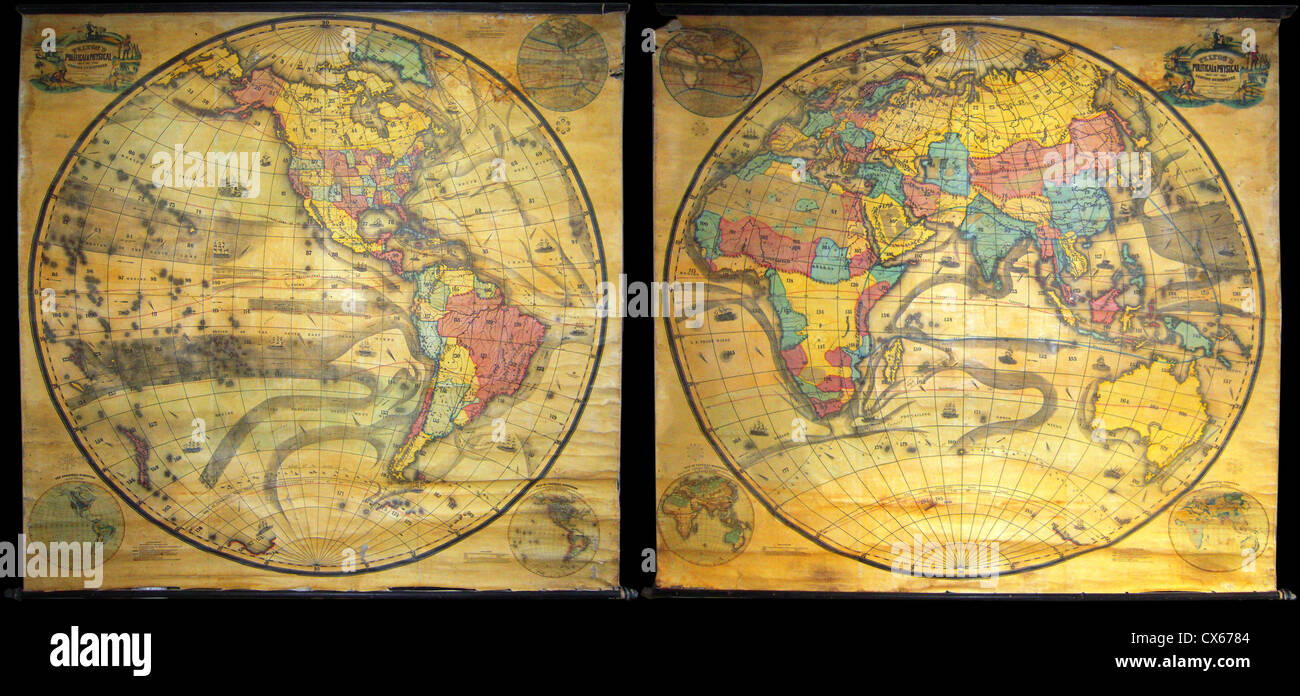
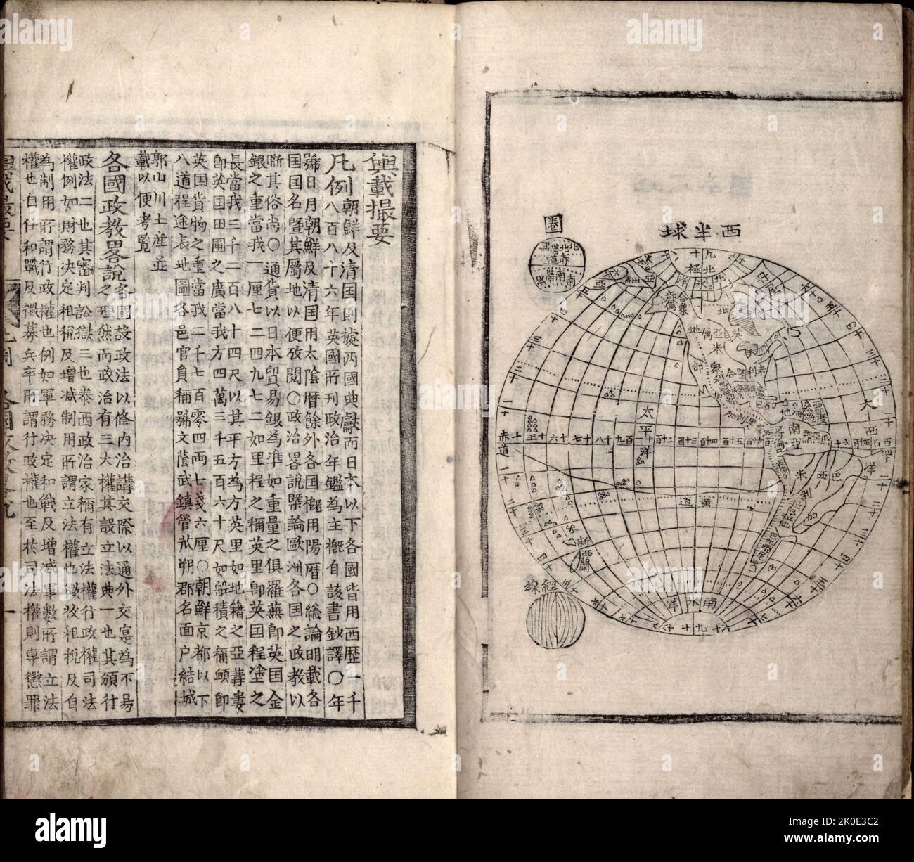
RMCWA6FJ–1800 Chinese maps of Ming Empire of China (left) and the World (right) . Echoing China's self-imposed isolation, the world map

RMCNRNGF–maps, map of the world, by Gerhard Mercator, 1587, Additional-Rights-Clearences-Not Available
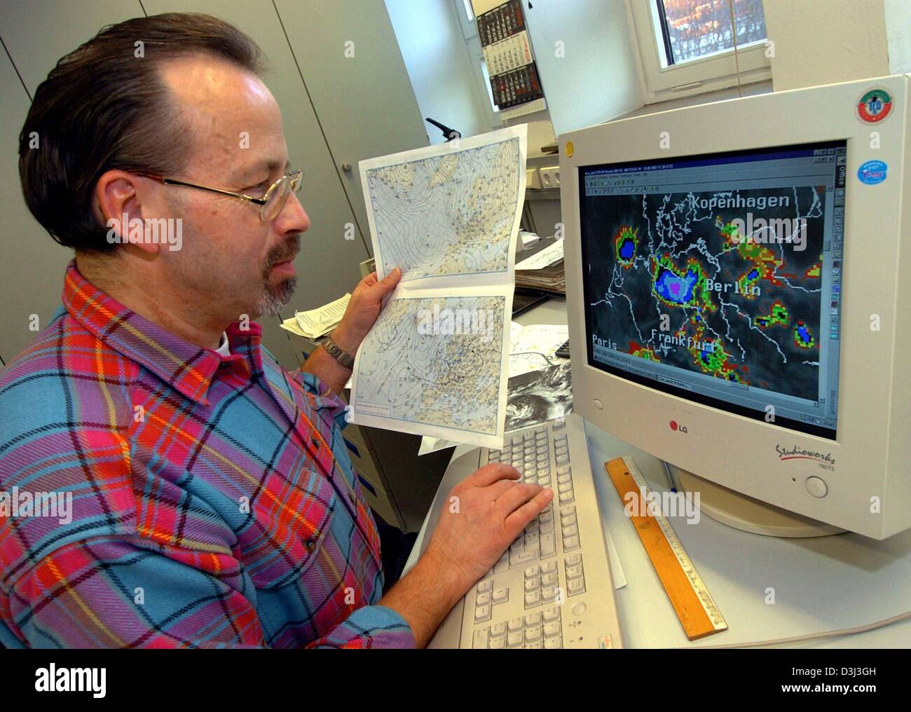
RMD3J3GH–(dpa) - Meteorologist Uwe Wienert looks at storm fronts on his computer screen at the German weather service offices in Hanover, Germany, 8 December 2003. The colourful charts and maps indicate when and where will be rain or thunderstorms.
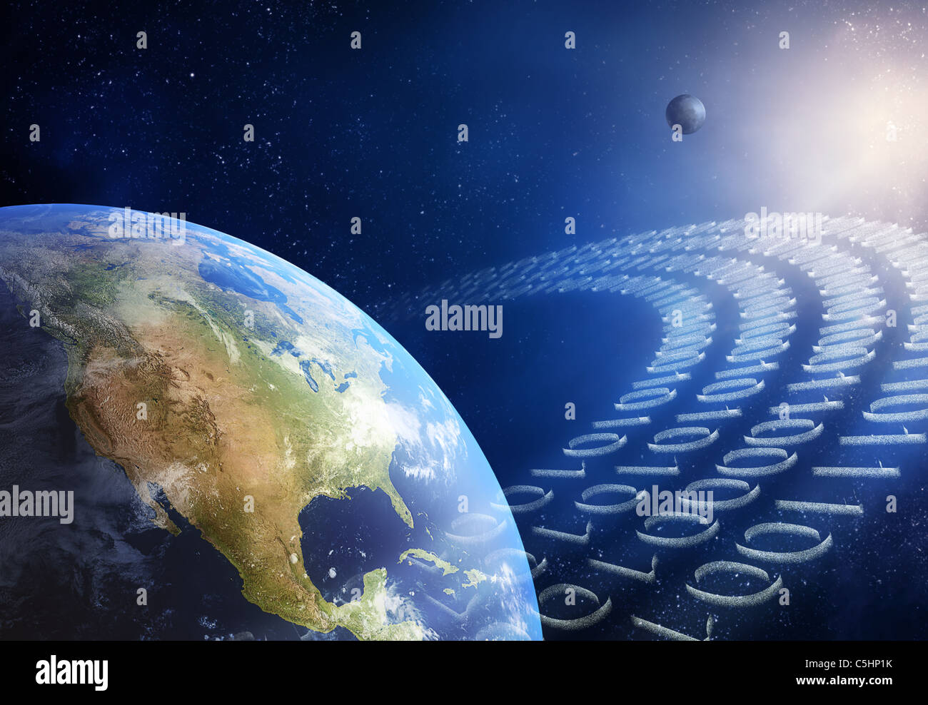
RFC5HP1K–Global communication / data transmission - binary code made from tiny particles ( 3D uv maps from http://visibleearth.nasa.gov )
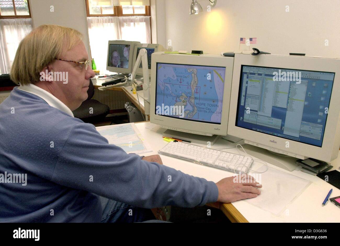
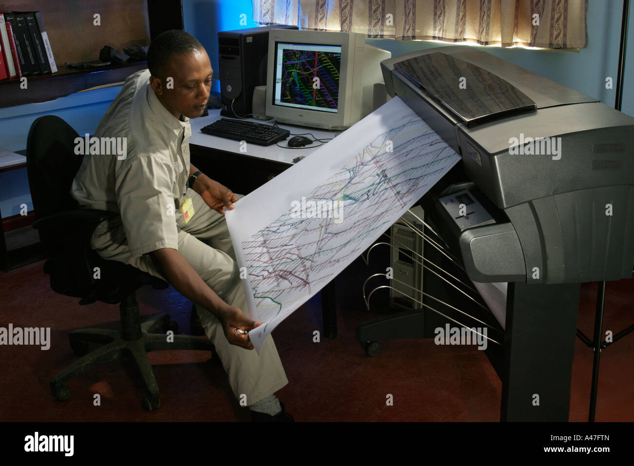
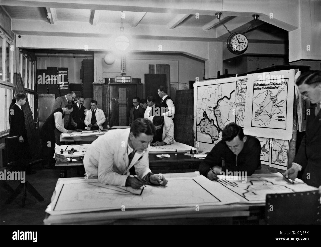
RMD3G636–(dpa) - Cartographer Folke Stender works on a sea chart on his computer in Arnis an der Schlei, northern Germany, 9 October 2003. Marine charts from this small town are used worldwide, even the US Coast Guard uses the maps for navigation.
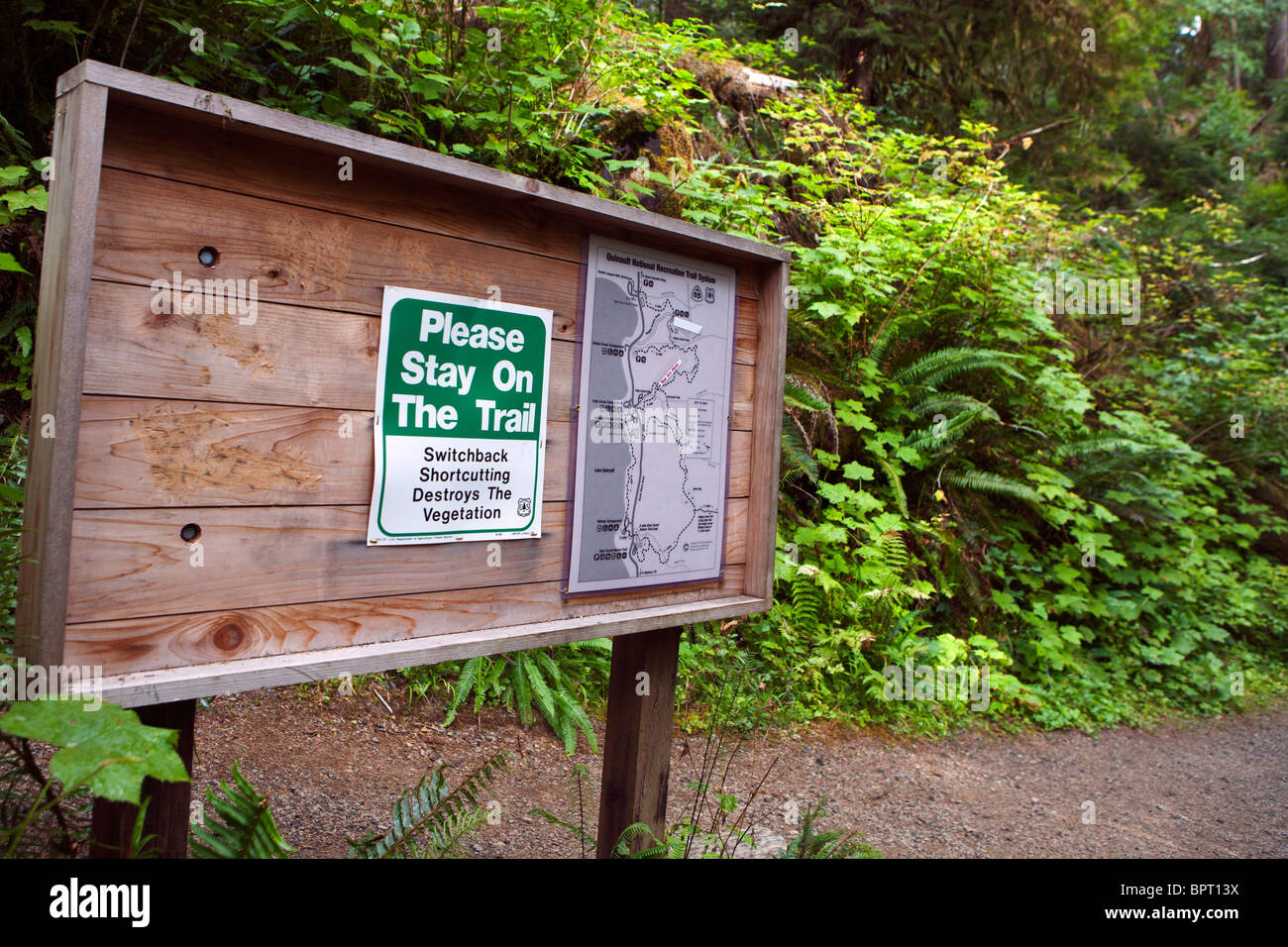
RMBPT13X–US Forest Service bulletin board with trail maps and warning to stay on trail, Lake Quinault Rain Forest
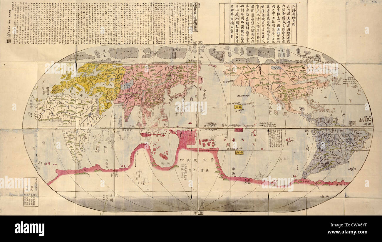
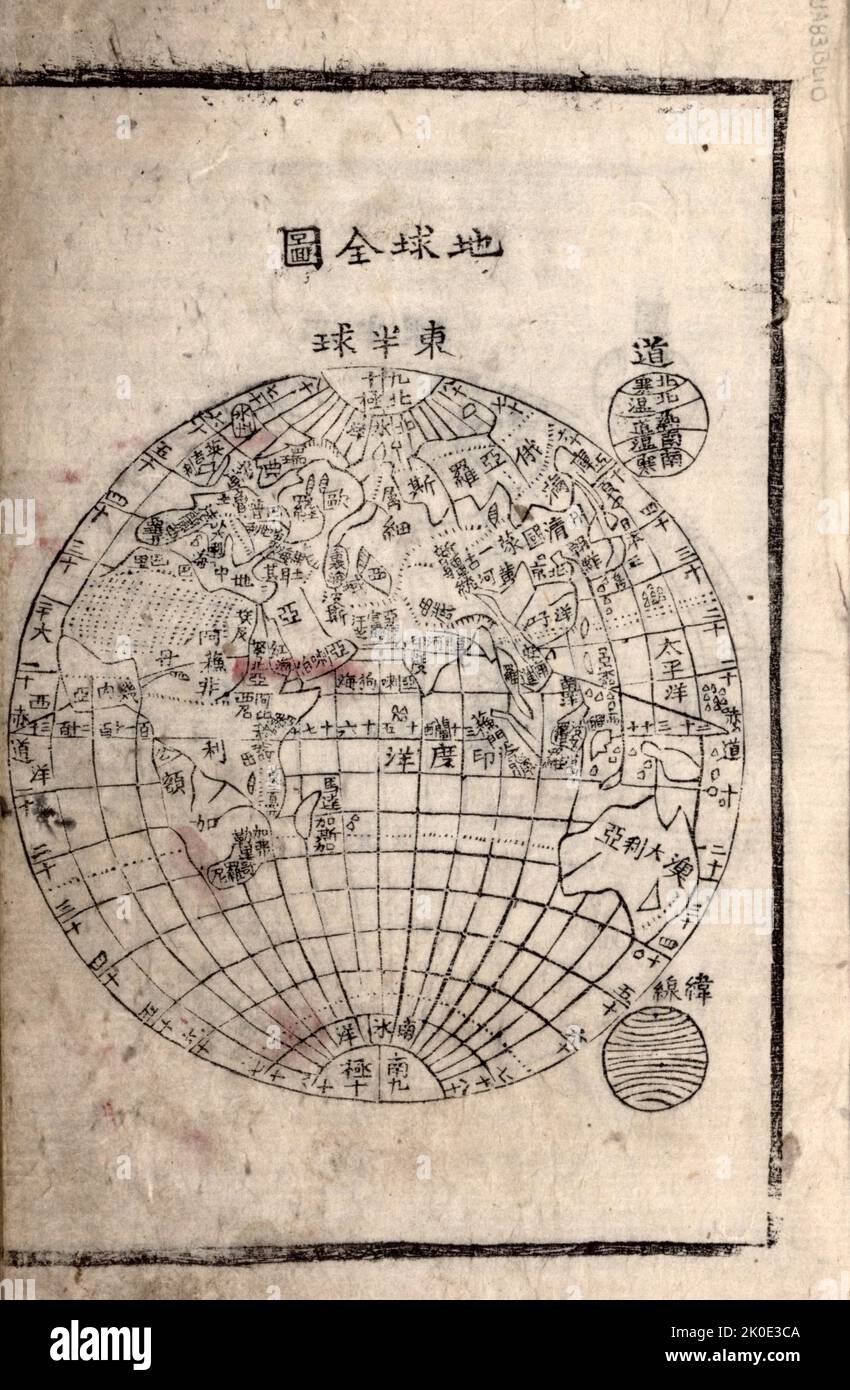
RMCWA6YP–1785 Japanese world map based on Jesuit missionary, Matteo Ricci's 1602 maps, and made during Japan's Age of National Isolation
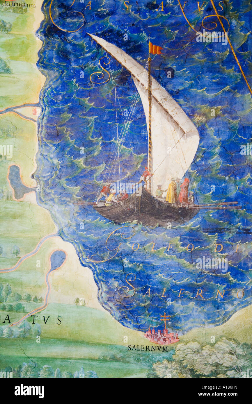
RMA186FN–Detail of antique map of Lucania painting in Vatican Museum 'Room of Maps' by Ignazio Danti (1536-1586) Vatican Rome Italy
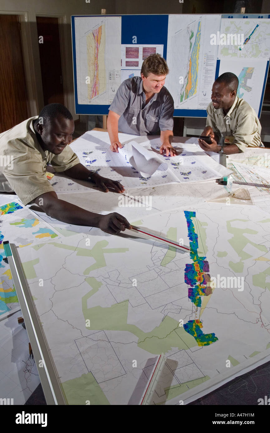
RMA47H1M–Geologists examining maps and discussing exploration targets, geology department, gold mine, Ghana, W Africa
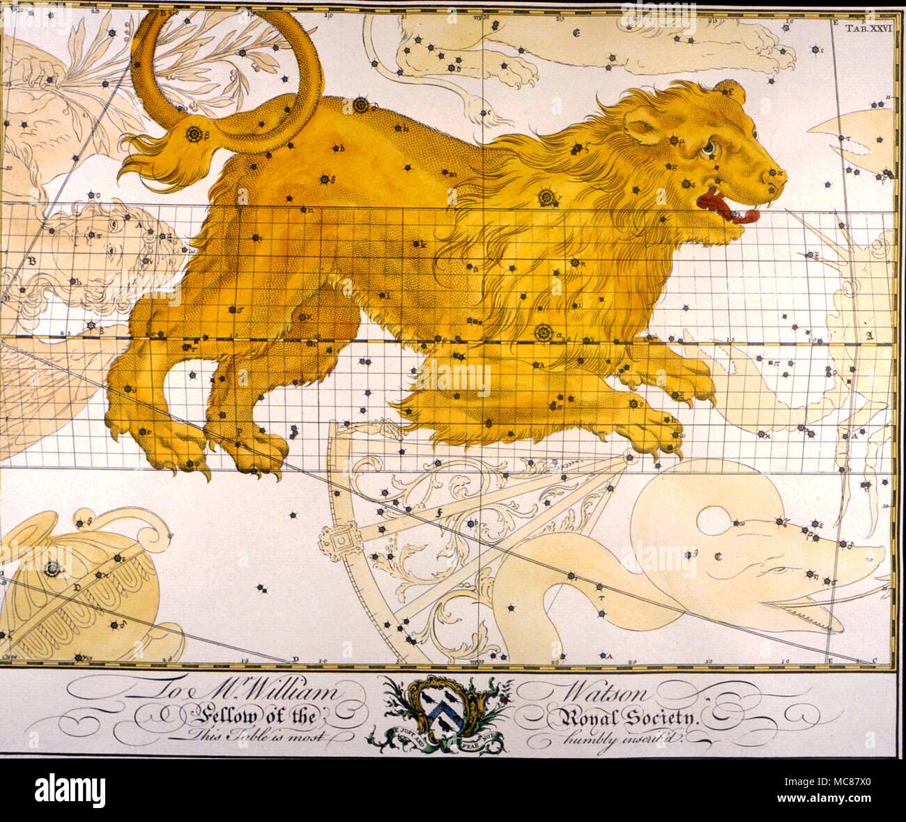
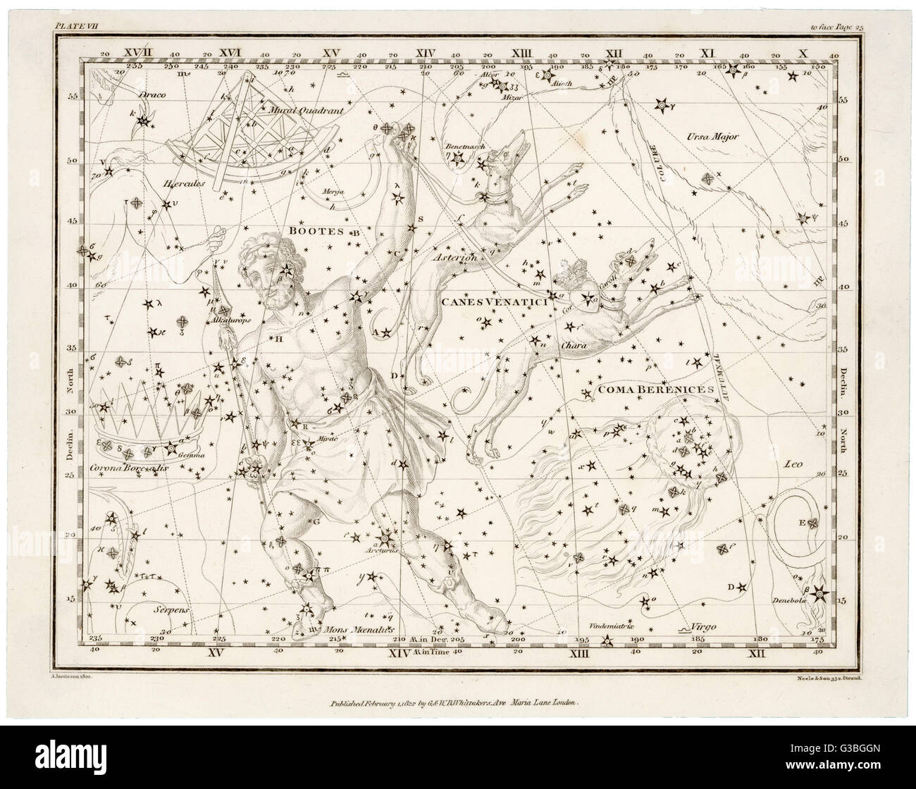
RMMC87X0–Constellations and star maps Leo A loose late 18th century plate from an English subscription book of Constellation Charts
![[ 1910s Japan - Maps of Shimonoseki, Moji, 1914 ] — Maps of Shimonoseki in Yamaguchi Prefecture and Moji in Fukuoka Prefecture from An Official Guide to Eastern Asia published by The Imperial Japanese Government Railways, 1914. 20th century vintage map. Stock Photo [ 1910s Japan - Maps of Shimonoseki, Moji, 1914 ] — Maps of Shimonoseki in Yamaguchi Prefecture and Moji in Fukuoka Prefecture from An Official Guide to Eastern Asia published by The Imperial Japanese Government Railways, 1914. 20th century vintage map. Stock Photo](https://c8.alamy.com/comp/WB4NGC/1910s-japan-maps-of-shimonoseki-moji-1914-maps-of-shimonoseki-in-yamaguchi-prefecture-and-moji-in-fukuoka-prefecture-from-an-official-guide-to-eastern-asia-published-by-the-imperial-japanese-government-railways-1914-20th-century-vintage-map-WB4NGC.jpg)
RMWB4NGC–[ 1910s Japan - Maps of Shimonoseki, Moji, 1914 ] — Maps of Shimonoseki in Yamaguchi Prefecture and Moji in Fukuoka Prefecture from An Official Guide to Eastern Asia published by The Imperial Japanese Government Railways, 1914. 20th century vintage map.

RF2HJPEJ9–Conspectus of the key Maps to our Alphabetically arranged chapters describing the World (1923)
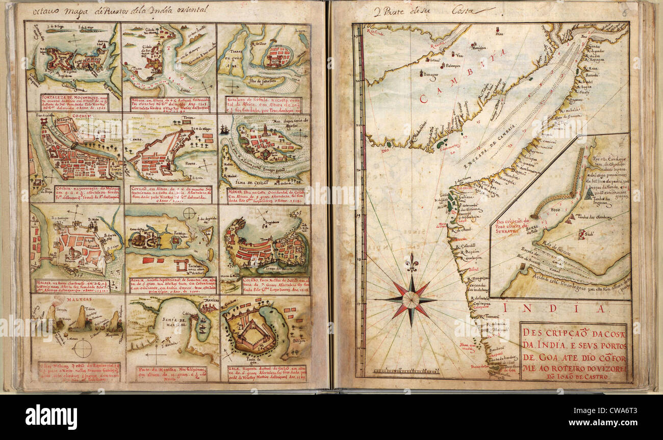
RMCWA6T3–Portuguese maps showing views of port settlements and fortifications in Africa and Asia, from 1630 atlas.

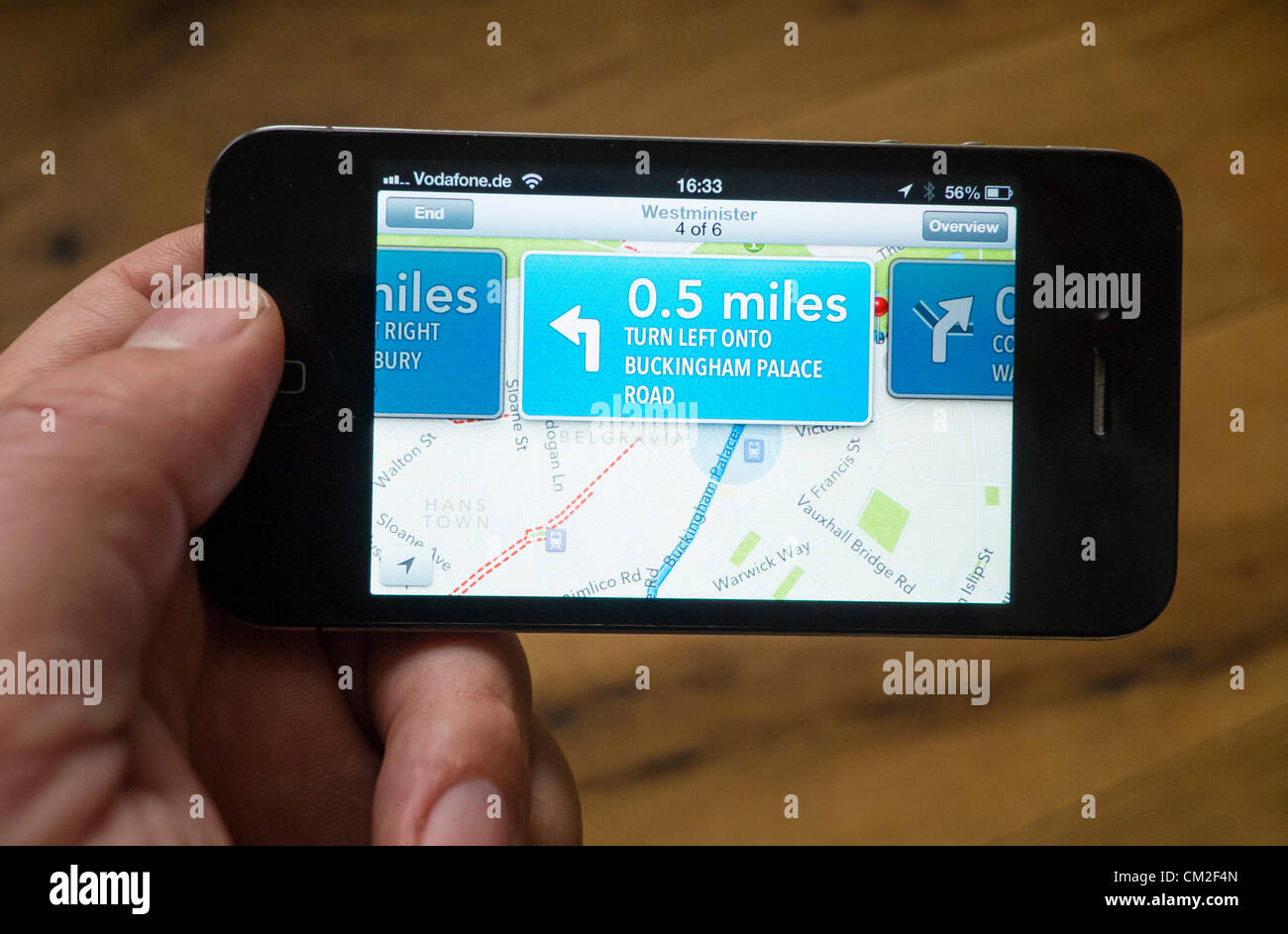
RMCM2F4W–Detail of new Maps app on iPhone screen. Apple's new Maps application has been criticised by users for providing inaccurate locations of some destinations. The App was bundled with the new iOS6.0 operating system and replaces Google maps.
RMGN1HP9–Burn Your Maps is an upcoming 2016 American adventure comedy-drama film, written and directed by Jordan Roberts, based on the short story of the same name by Robyn Joy Leff. The film stars Vera Farmiga, Jacob Tremblay, Marton Csokas, Suraj Sharma, and Virginia Madsen. This photograph is for editorial use only and is the copyright of the film company and/or the photographer assigned by the film or production company and can only be reproduced by publications in conjunction with the promotion of the above Film. A Mandatory Credit to the film company is required. The Photographer should also be

RMDHKRC1–MAPS TO THE STARS 2014 Entertainment One film with Olivia Williams and John Cusack in middle
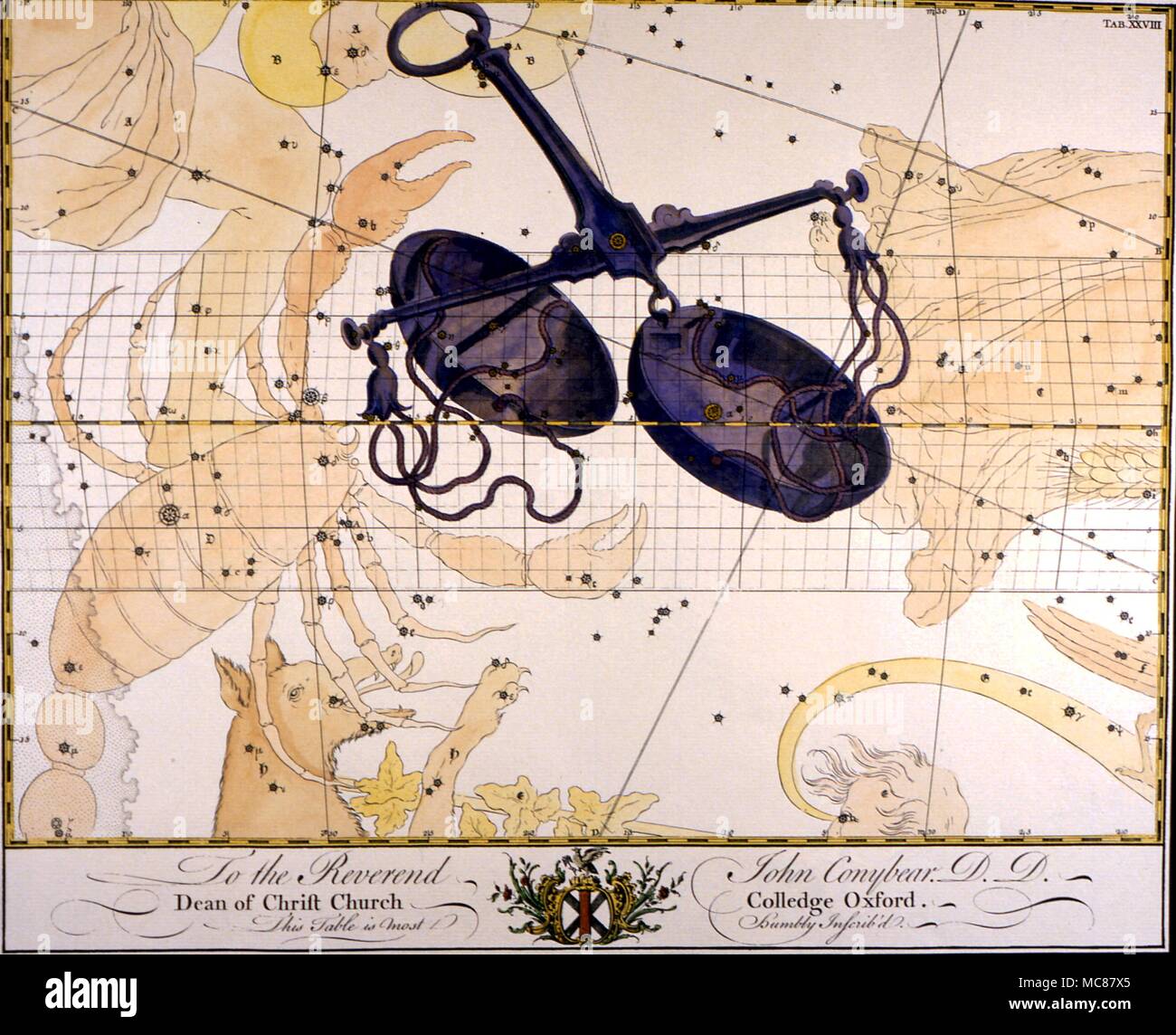
RMMC87X5–Constellations and star maps Libra A loose late 18th century plate from an English subscription book of Constellation Charts
![[ 1920s Japan - Map of Central Japan, 1926 ] — Hatsusaburo Yoshida bird’s-eye view map of Kansai, published by Osaka Mainichi Shinbun on April 5, 1926 (Taisho 15). Kyoto based artist Hatsusaburo Yoshida (吉田初三郎, 1884-1955) was famous for his bird’s eye view maps and was called the Hiroshige of the Taisho Era. 20th century vintage map. Stock Photo [ 1920s Japan - Map of Central Japan, 1926 ] — Hatsusaburo Yoshida bird’s-eye view map of Kansai, published by Osaka Mainichi Shinbun on April 5, 1926 (Taisho 15). Kyoto based artist Hatsusaburo Yoshida (吉田初三郎, 1884-1955) was famous for his bird’s eye view maps and was called the Hiroshige of the Taisho Era. 20th century vintage map. Stock Photo](https://c8.alamy.com/comp/2BKP132/1920s-japan-map-of-central-japan-1926-hatsusaburo-yoshida-birds-eye-view-map-of-kansai-published-by-osaka-mainichi-shinbun-on-april-5-1926-taisho-15-kyoto-based-artist-hatsusaburo-yoshida-1884-1955-was-famous-for-his-birds-eye-view-maps-and-was-called-the-hiroshige-of-the-taisho-era-20th-century-vintage-map-2BKP132.jpg)
RM2BKP132–[ 1920s Japan - Map of Central Japan, 1926 ] — Hatsusaburo Yoshida bird’s-eye view map of Kansai, published by Osaka Mainichi Shinbun on April 5, 1926 (Taisho 15). Kyoto based artist Hatsusaburo Yoshida (吉田初三郎, 1884-1955) was famous for his bird’s eye view maps and was called the Hiroshige of the Taisho Era. 20th century vintage map.
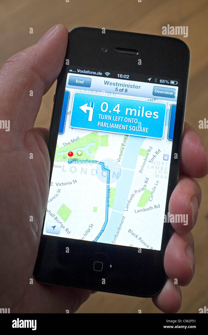
RMCM2F51–Car navigation with turn-by-turn directions on the new Apple Maps application. Apple's new Maps application has been criticised by users for providing inaccurate locations of some destinations. The App was bundled with the new iOS6.0 operating system and replaces Google maps.
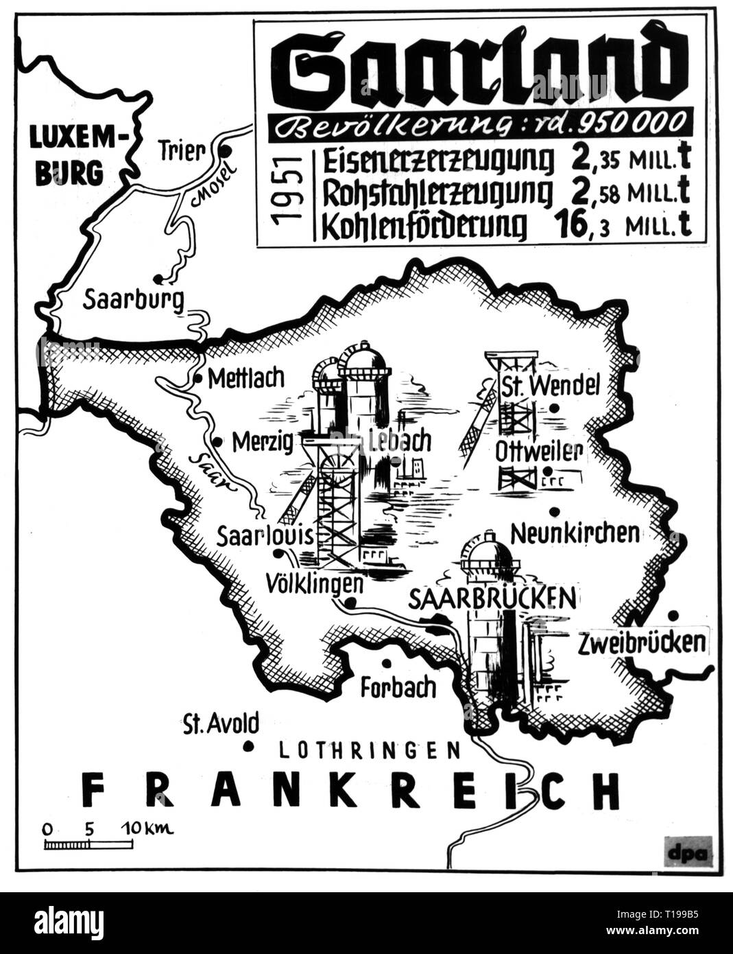
RMT199B5–cartography, economical maps, Saarland, industry, 1951, Additional-Rights-Clearance-Info-Not-Available
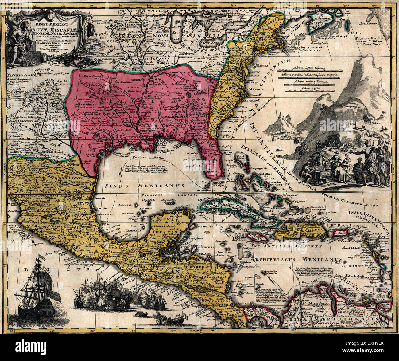
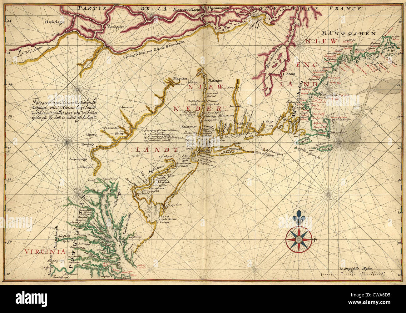
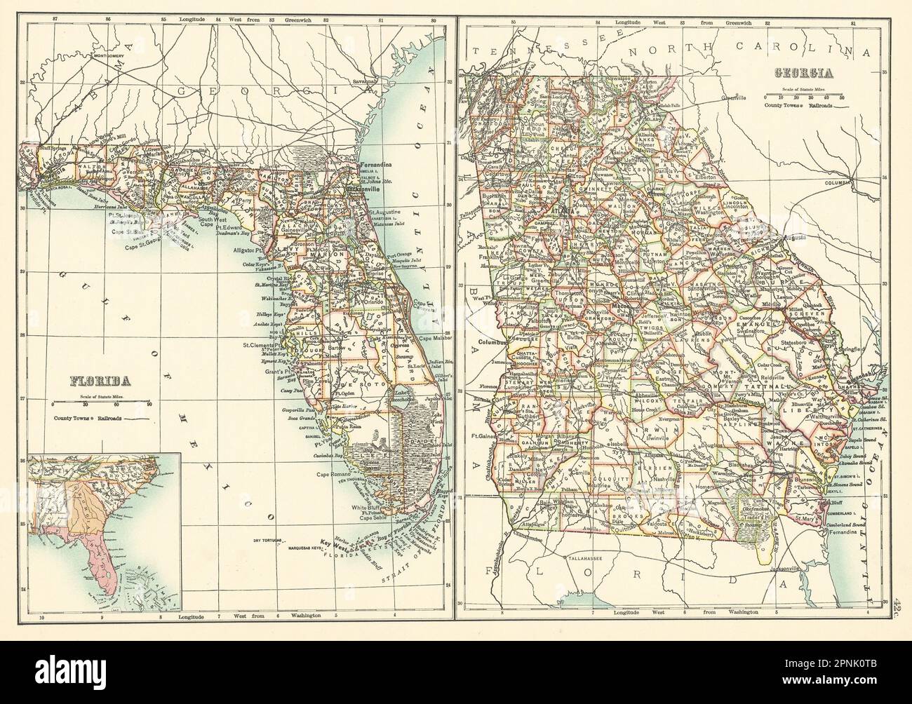
RMDXHYEK–Maps of the Kingdom of New Spain or Mexico, Florida, New England, Carolina, Virginia, and Pennsylvania, Mexico in North America 1759
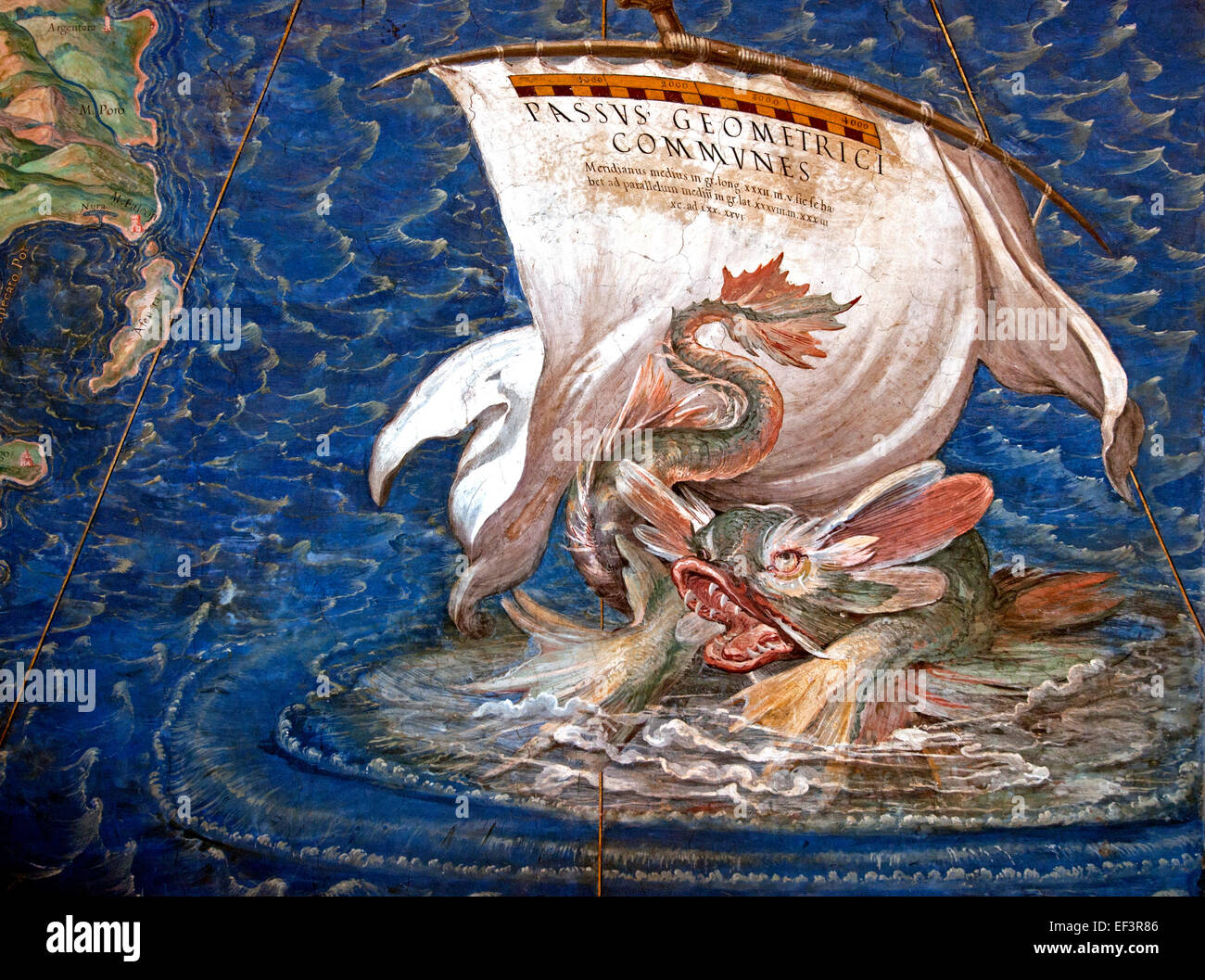
RMEF3R86–A galleon in the Adriatic, detail from the 'Galleria delle Carte Geografiche', 1580-83 Danti, Egnazio (1536-86) Vatican Rome Italy Geographic maps
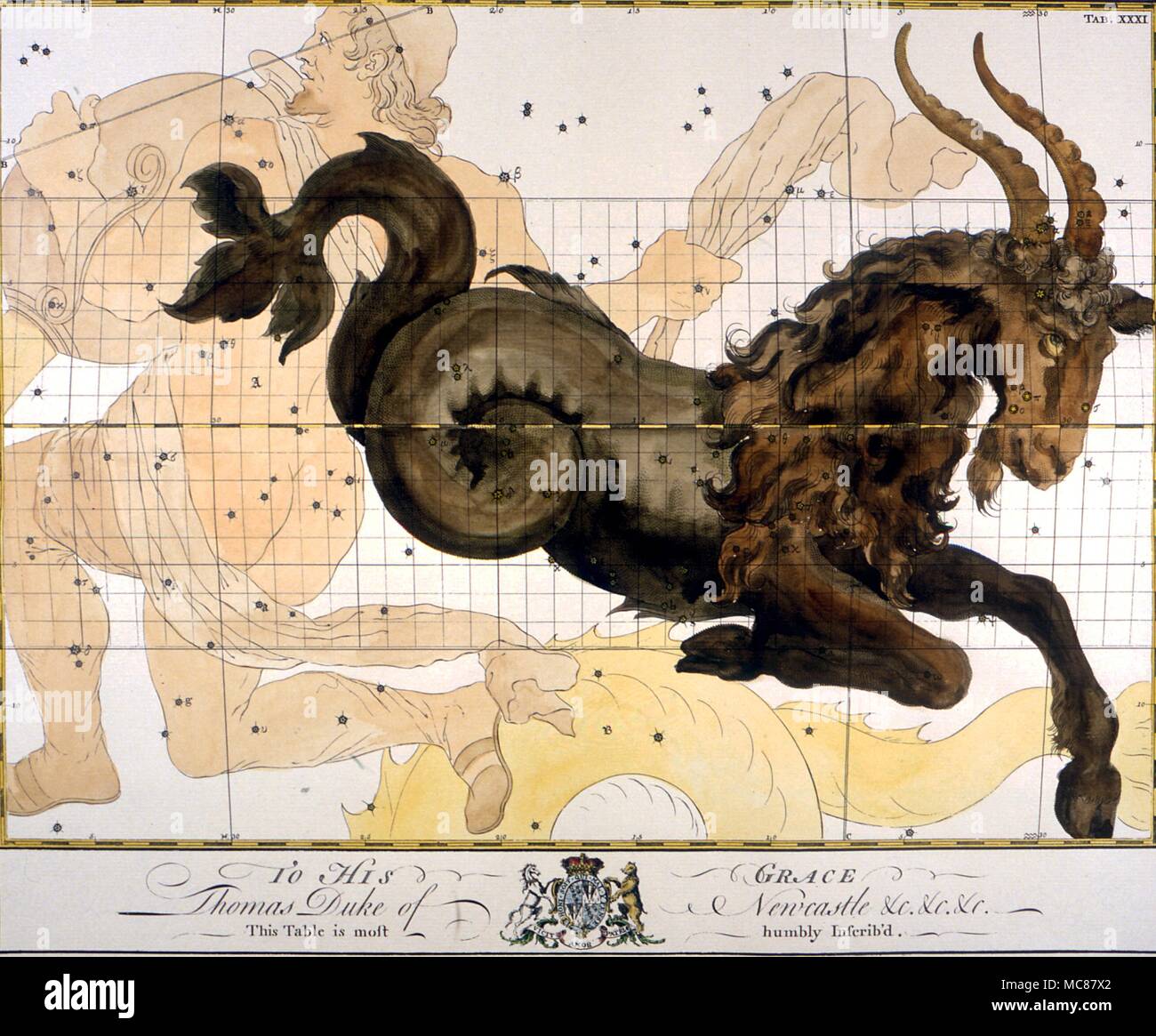
RMMC87X2–Constellations and star maps Capricorn A loose late 18th century plate from an English subscription book of Constellation Charts
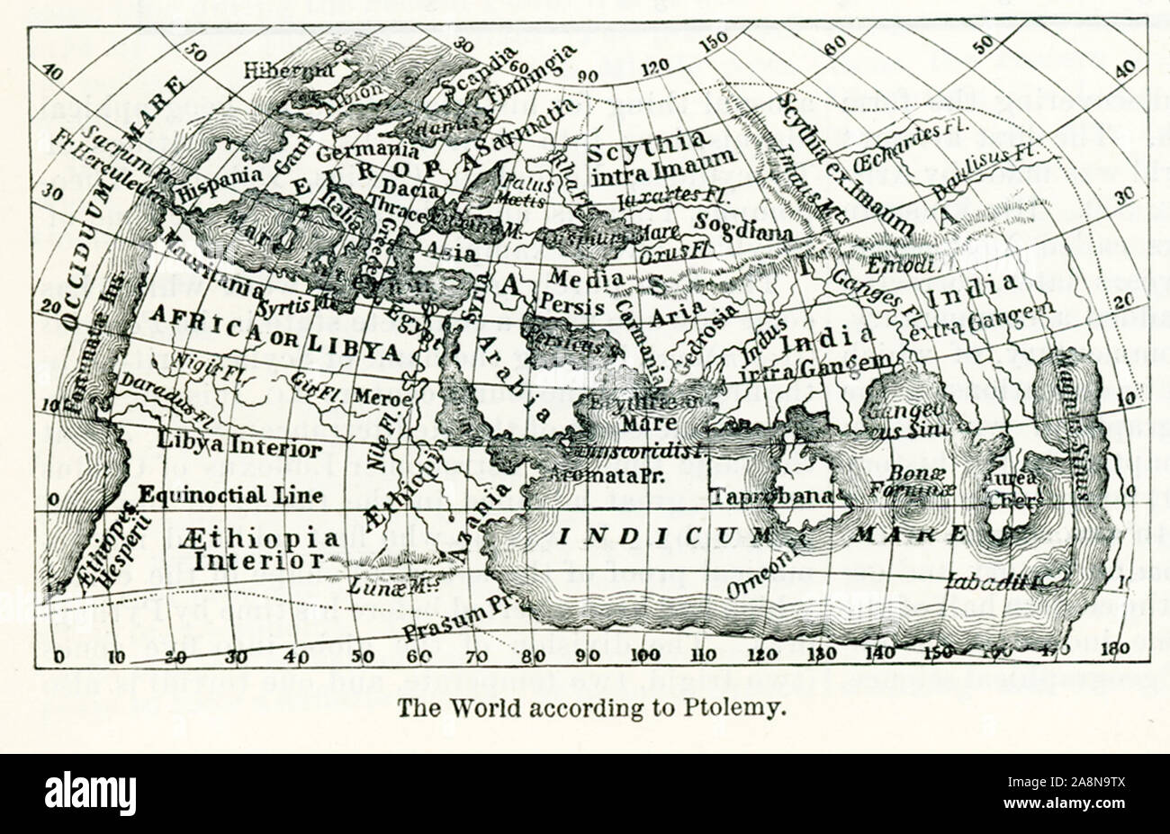
RF2A8N9TX–Pictured here is the world according to Ptolemy, an Alexandrian astronomer who lived around 150 A.D. His map consisted mainly of lists of places marked on the maps that were circulating at the time and that he made his authorities. He added latitudes and longitudes.
![[ 1920s Japan - Map of Kyoto, 1928 ] — 'Map of Kyoto and Vicinity with Shopping Directory.' English language map, published by the Miyako Hotel. Features references for shops, factories and tourist sites. Inset maps for Arashiyama, Lake Biwa, Mt. Hiei, Uji and Daigo. The map is not dated but contains markings for the 'Grand Exposition in Commemoration of the Imperial Coronation,' which dates it to 1928 (Showa 3) when an exhibition for the coronation of Emperor Showa (Hirohito) took place. 20th century vintage map. Stock Photo [ 1920s Japan - Map of Kyoto, 1928 ] — 'Map of Kyoto and Vicinity with Shopping Directory.' English language map, published by the Miyako Hotel. Features references for shops, factories and tourist sites. Inset maps for Arashiyama, Lake Biwa, Mt. Hiei, Uji and Daigo. The map is not dated but contains markings for the 'Grand Exposition in Commemoration of the Imperial Coronation,' which dates it to 1928 (Showa 3) when an exhibition for the coronation of Emperor Showa (Hirohito) took place. 20th century vintage map. Stock Photo](https://c8.alamy.com/comp/WB59B8/1920s-japan-map-of-kyoto-1928-map-of-kyoto-and-vicinity-with-shopping-directory-english-language-map-published-by-the-miyako-hotel-features-references-for-shops-factories-and-tourist-sites-inset-maps-for-arashiyama-lake-biwa-mt-hiei-uji-and-daigo-the-map-is-not-dated-but-contains-markings-for-the-grand-exposition-in-commemoration-of-the-imperial-coronation-which-dates-it-to-1928-showa-3-when-an-exhibition-for-the-coronation-of-emperor-showa-hirohito-took-place-20th-century-vintage-map-WB59B8.jpg)
RMWB59B8–[ 1920s Japan - Map of Kyoto, 1928 ] — 'Map of Kyoto and Vicinity with Shopping Directory.' English language map, published by the Miyako Hotel. Features references for shops, factories and tourist sites. Inset maps for Arashiyama, Lake Biwa, Mt. Hiei, Uji and Daigo. The map is not dated but contains markings for the 'Grand Exposition in Commemoration of the Imperial Coronation,' which dates it to 1928 (Showa 3) when an exhibition for the coronation of Emperor Showa (Hirohito) took place. 20th century vintage map.
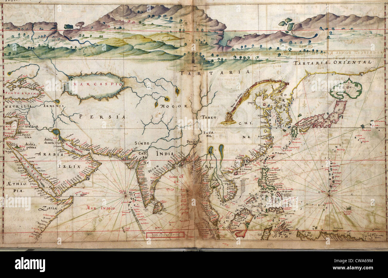
RMCWA69M–1630 Portuguese maps, showing details of Asian coastal forts and cities, gathered by a century of the Portuguese explorations
Search Results for Maps Stock Photos and Images (1,462,750)
Page 1 of 500
