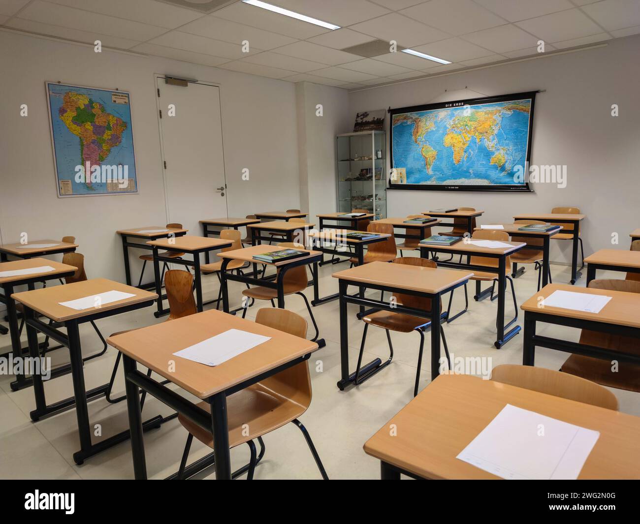
Tables and maps in a geography classroom in a Dutch high school.
RFID:Image ID:2WG2N0G
Image details
Contributor:
Menyhert van der Haven / Alamy Stock PhotoImage ID:
2WG2N0GFile size:
18 MB (539.6 KB Compressed download)Releases:
Model - no | Property - noDo I need a release?Dimensions:
2900 x 2175 px | 24.6 x 18.4 cm | 9.7 x 7.3 inches | 300dpiDate taken:
30 January 2024Location:
The Hague, Netherlands