Quick filters:
Geography Stock Photos and Images
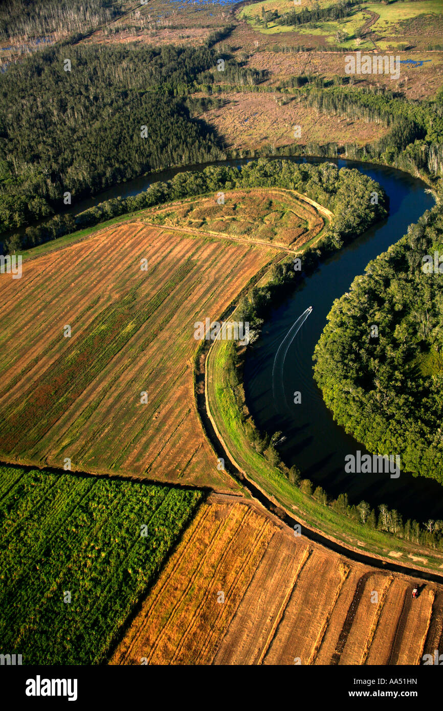
RMAA51HN–A river meanders through natural wetlands and a sugar cane plantation near Ballina in Northern NSW Australia
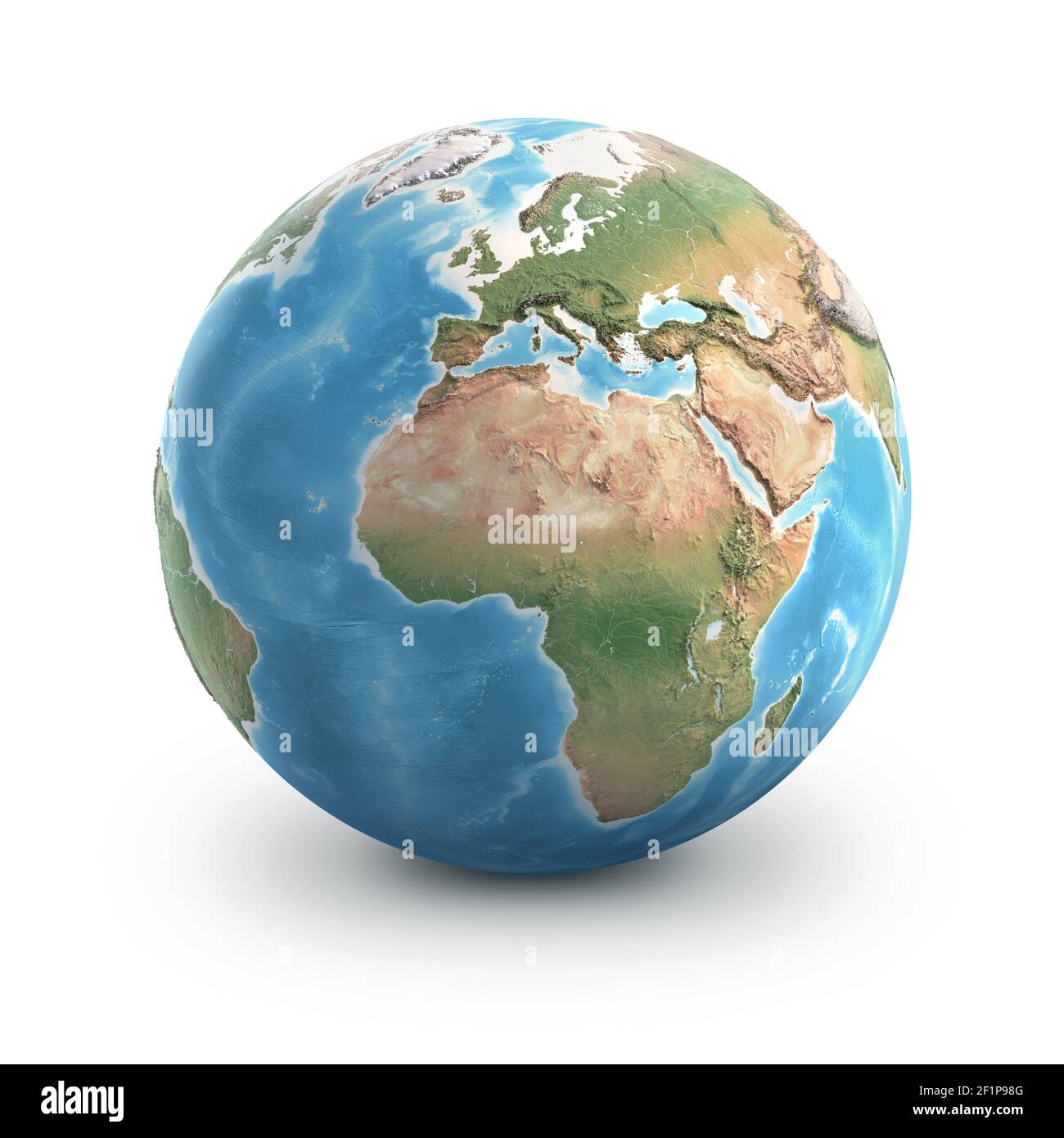
RF2F1P98G–Planet Earth globe, isolated on white. Geography of the world from space, focused on Europe and Africa - Elements furnished by NASA
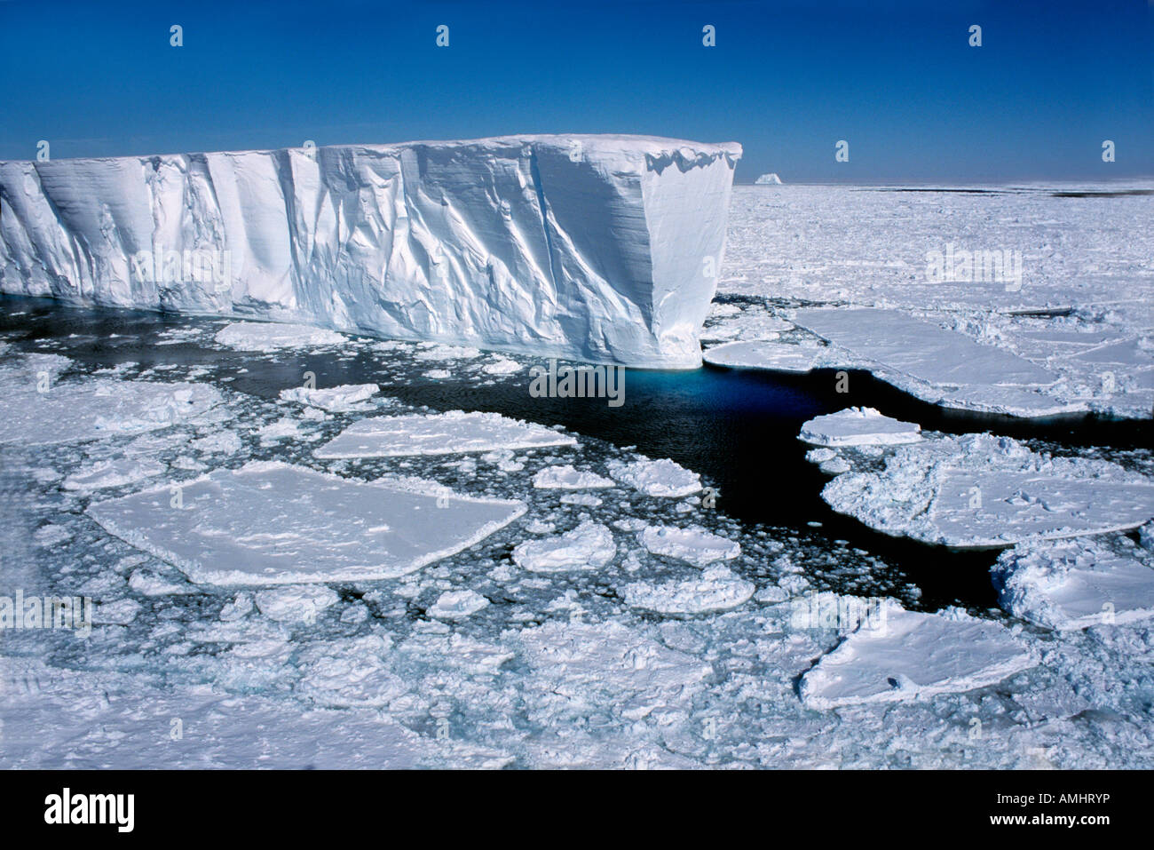
RMAMHRYP–Iceberg Antarctica Antarctica geography horizontal format iceberg ice landscapes sea the Antarctic water
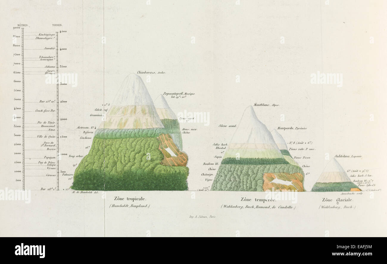
RMEAFJ5M–Diagram of plant geography, comparing the distributions of plants at various altitudes in different climatic regions
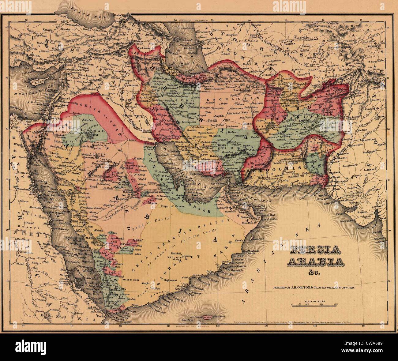
RMCWA589–1855 map clearly shows the political and cultural geography of the Middle East. The Ottoman and Persian Empires boundary lies
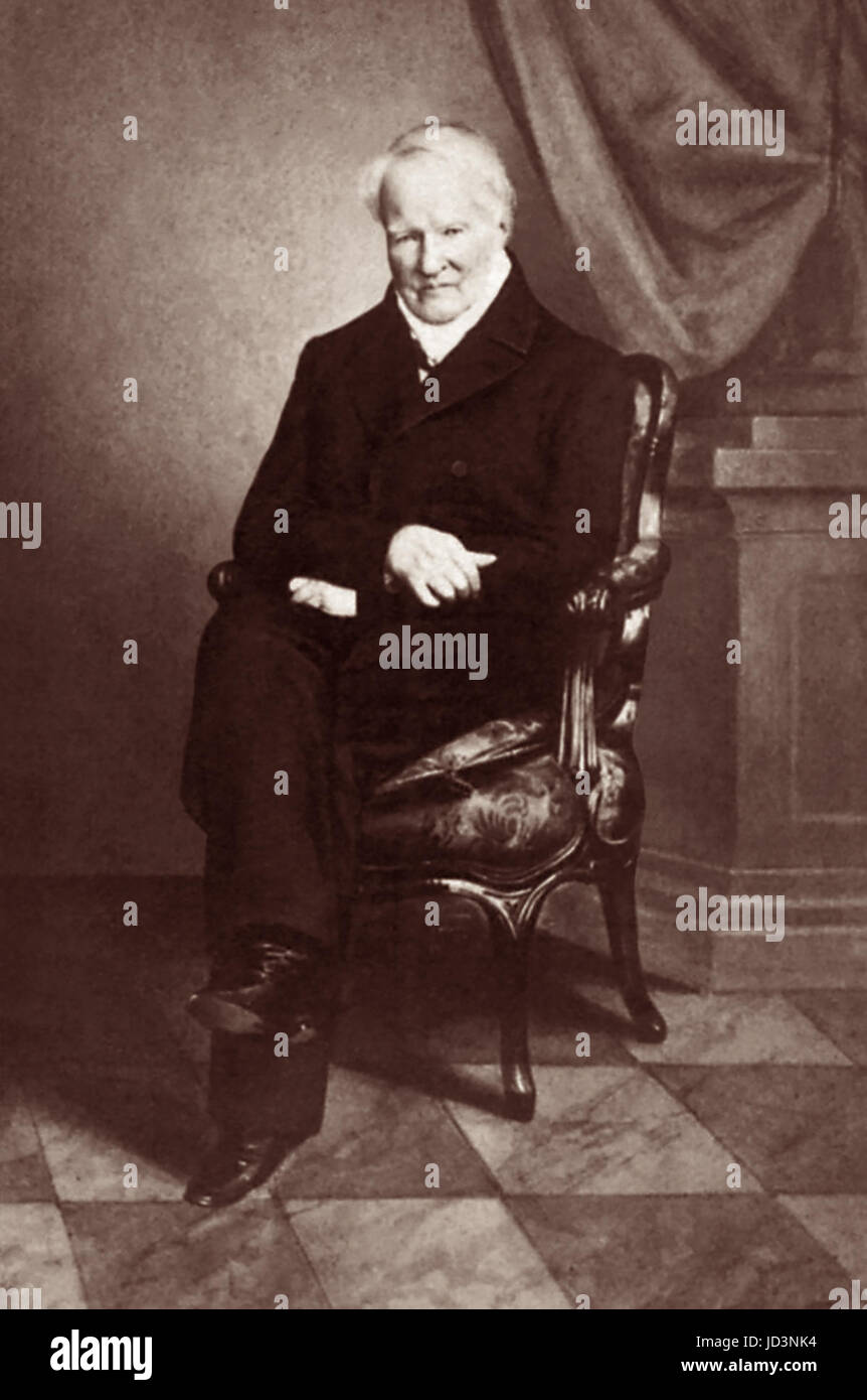
RMJD3NK4–Alexander von Humboldt (1769-1859), influential German naturalist and explorer, was a significant contributor to the scientific fields of physical geography and biogeography in the early to mid 1800s.
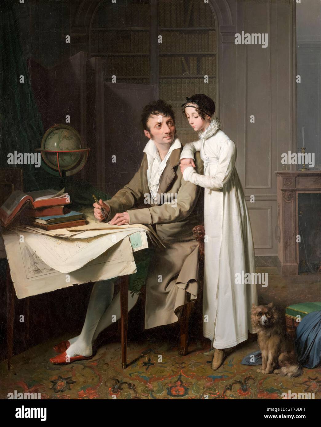
RM2T73DFT–Louis-Léopold Boilly, The Geography Lesson (Portrait of Monsieur Gaudry and His Daughter), painting in oil on canvas, 1812
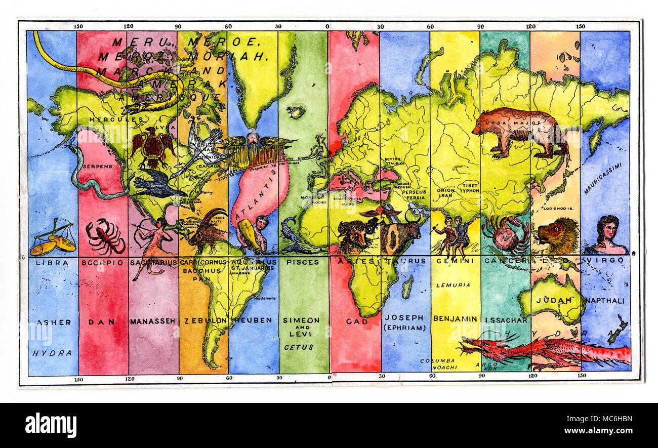
RMMC6HBN–ASTROLOGY - ASTRO-GEOGRAPHY - ATLANTIS The map of the World divided into twelve vertical strips, corresponding to longitudes, with a fanciful arrangement of zodiac signs, linked with the Twelve Tribes of Israel. The fabulous Atlantis falls under the influence of Aquarius and Reuben, while the east coast of America falls under Capricorn and Zebulon. California falls under Sagittarius and Manasseh. The United States as a whole is under the influence of the constellation Lyra, while Russia is under Ursa Major, the Great Bear. From P.B. Randolph, Soul! The Soul of the World: the Homes of the
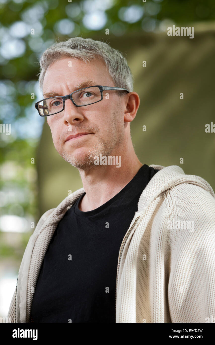
RME9YD2W–Alastair Bonnett, author and Professor of Social Geography, at the Edinburgh International Book Festival 2014.
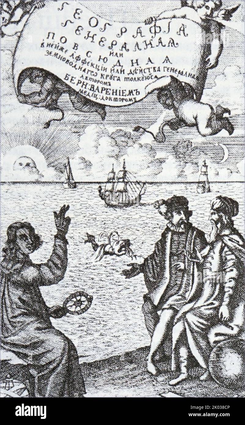
RM2K038CP–General geography B. Varenius. Moscow, 1718. Illustration depicting Copernicus, Ptolemy and Tycho Brahe.

RM2G227KD–geography / travel, Germany, Cologne, Cologne Cathedral, 1868, ADDITIONAL-RIGHTS-CLEARANCE-INFO-NOT-AVAILABLE
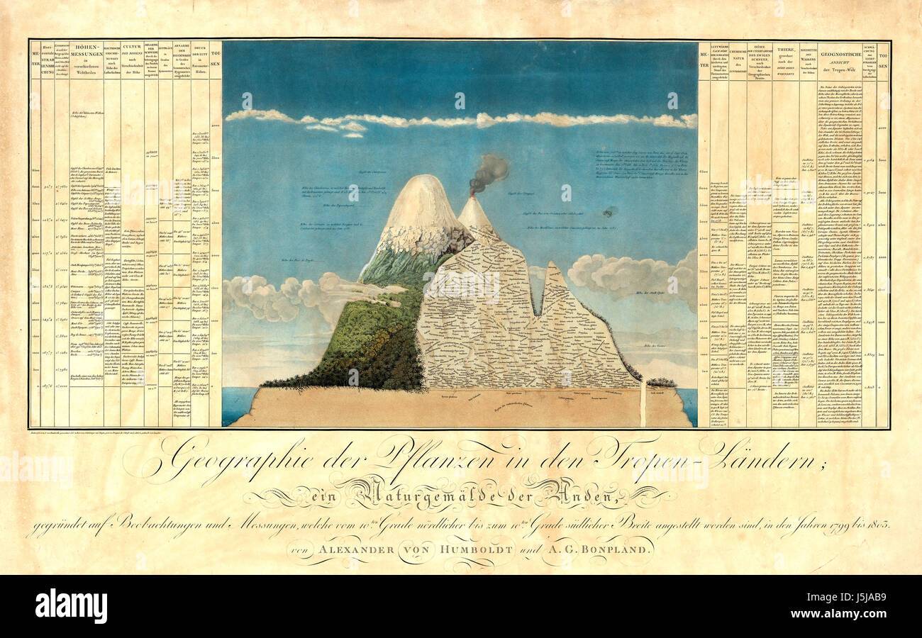
RMJ5JAB9–ALEXANDER von HUMBOLDT (1769-1859) diagram of Chimborazo showing his formulation of Naturgemälde from his The Geography of Plants, 1807
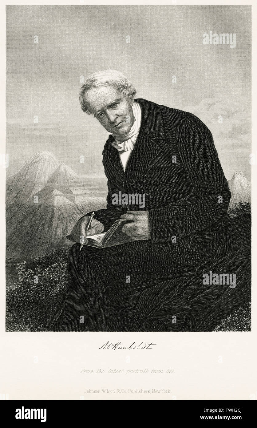
RMTWH2CJ–Alexander von Humboldt (1769-1859), German Naturalist and Explorer and Major Figure in the Classical Period of Physical Geography and Biogeography, Seated Portrait, Steel Engraving, Portrait Gallery of Eminent Men and Women of Europe and America by Evert A. Duyckinck, Published by Henry J. Johnson, Johnson, Wilson & Company, New York, 1873

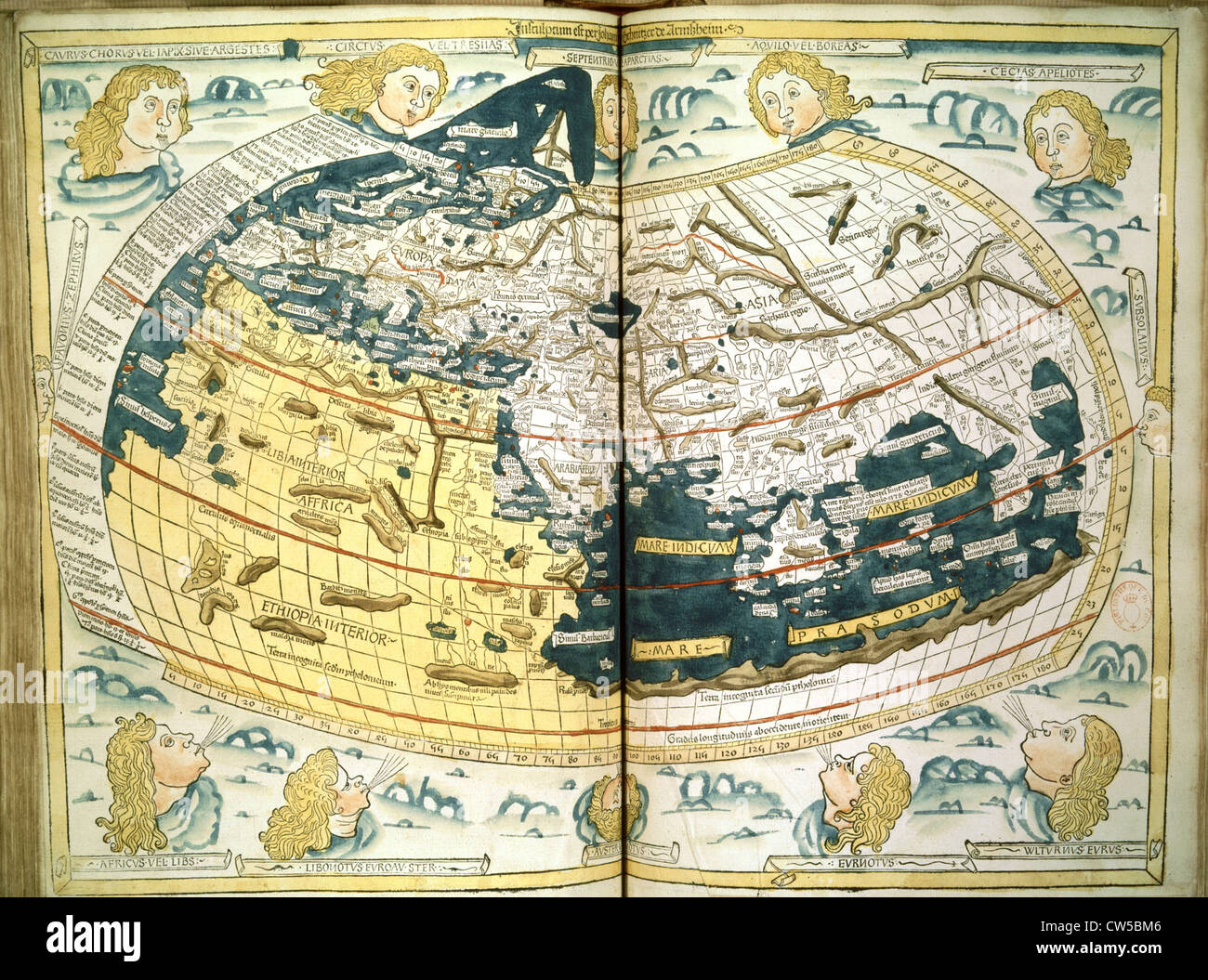
RMFH1AN0–Manuscript copy of the Ptolemy (100-170 AD) world map, reconstituted from Ptolemy's Geography (c.150), indicating the countries of 'Serica' and 'Sinae' (China) at the extreme east, beyond the island of 'Taprobane' (Sri Lanka, oversized) and the 'Aurea Chersonesus' (Malay Peninsula). 15th-century.
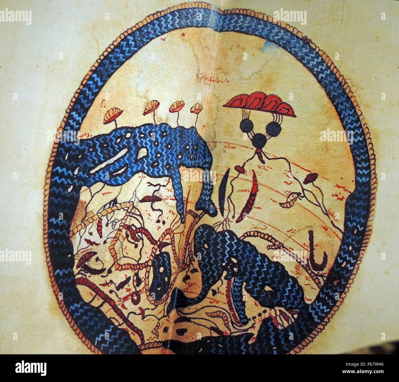
RMP67W46–Cartography and Geography. Advances in zoology, botany, astronomy and navigation and information brought back by traders, scientists, pilgrims and explorers resulted in major advances in geography and allowed Muslim scholars to develop highly accurate maps and terrestrial globes. These maps laid the foundation for the worldwide travels of later European explorers.

RMCWA5RX–1882 view of the Grand Canyon from a US Government atlas. US government sponsored exploration of the geography, geology,
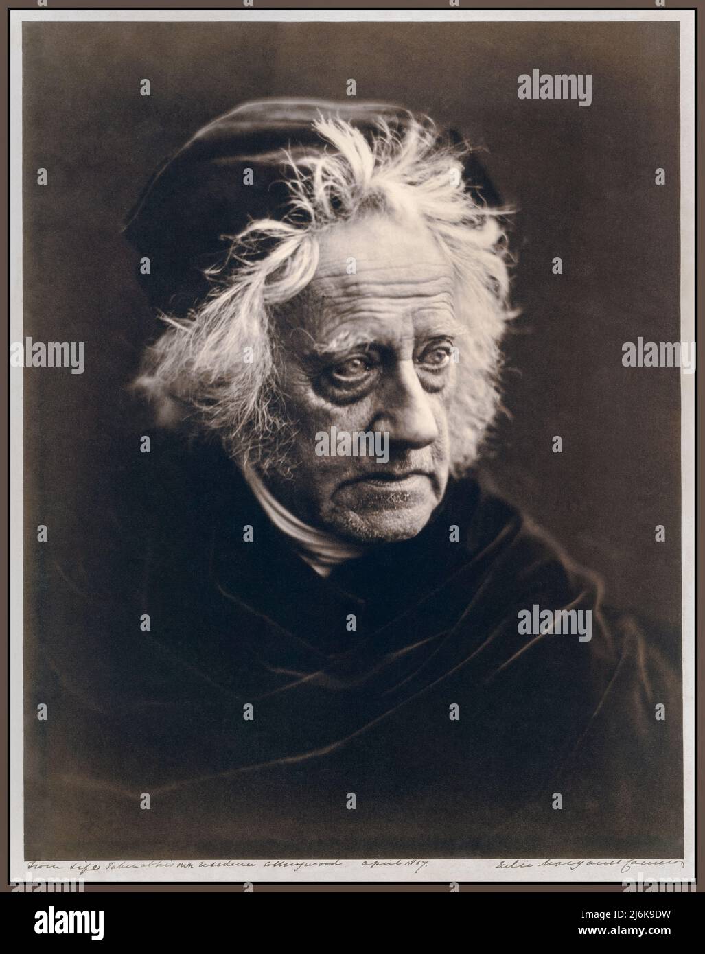
RM2J6K9DW–John Herschel (1815-1879), photographed by renowned photographer Julia Margaret Cameron in April 1867. John Herschel was an English mathematician, astronomer, chemist, inventor, and experimental photographer. He named seven moons of Saturn and four moons of Uranus, invented the cyanotype and actinometer, and wrote extensively on topics including meteorology, physical geography and the telescope.
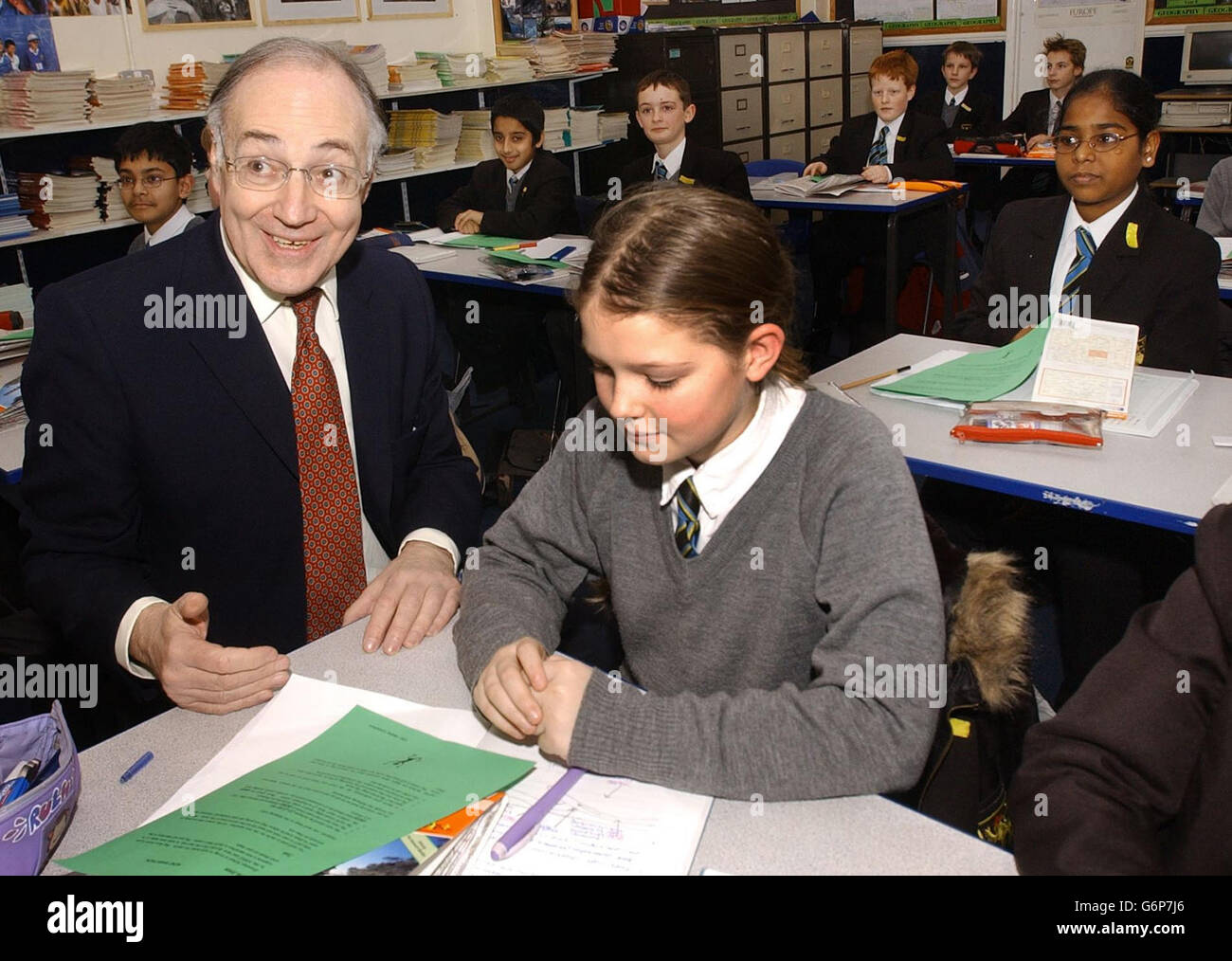
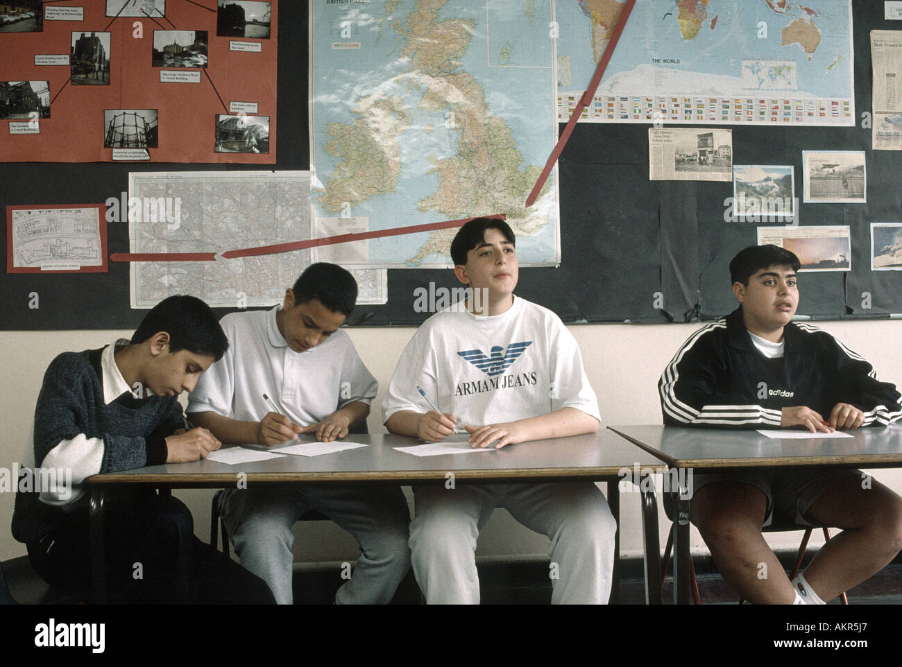
RMG6P7J6–Tory leader Michael Howard sits in on a geography lesson with pupil Ruth Norton, during his visit to Graveney School in Tooting, south London.
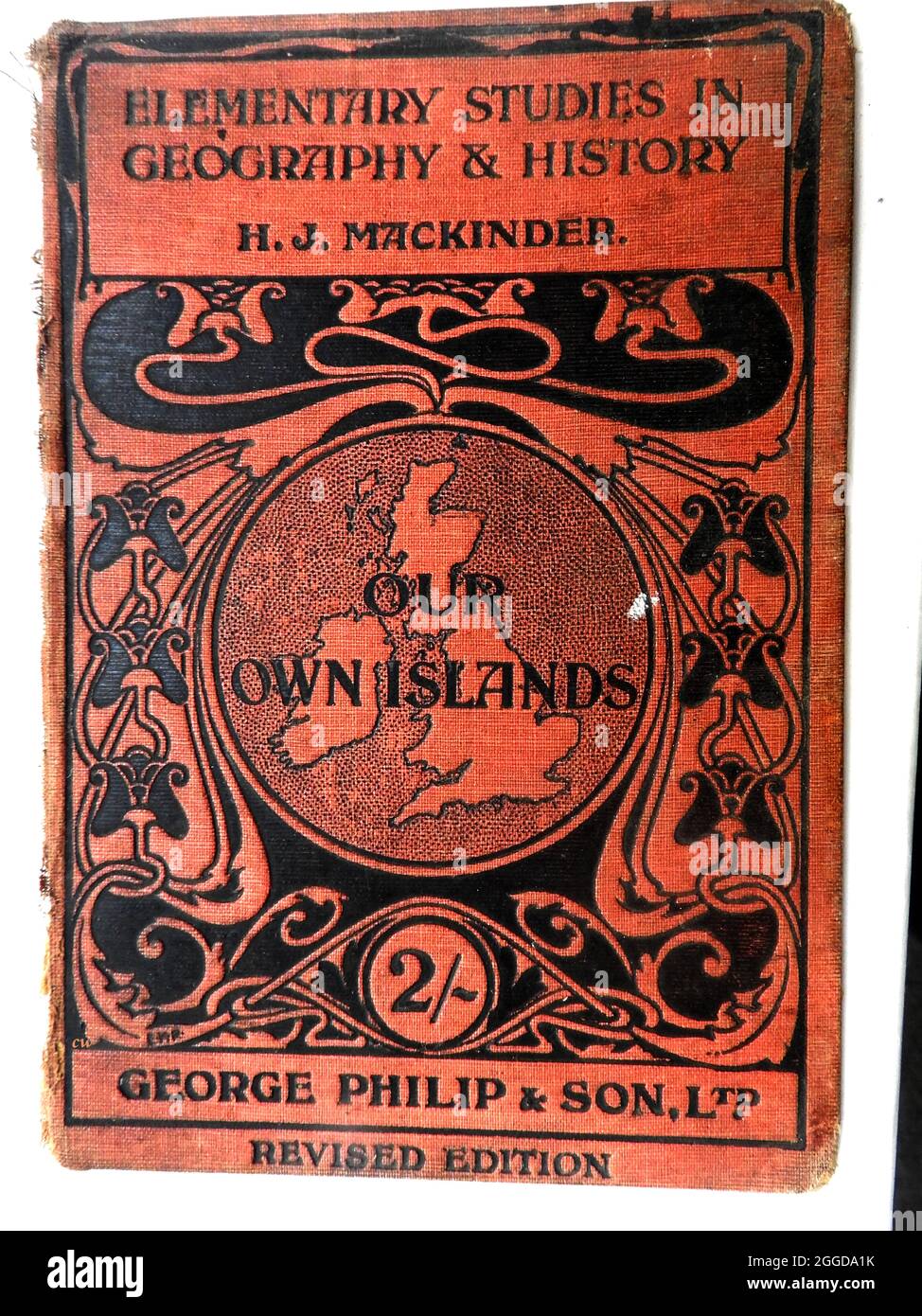
RM2GGDA1K–A 1914 British school geography book cover 'OUR OWN ISLANDS Elementary studies in Geography & History'. -- A revised hardback edition published by George Philip and son Ltd (editor H J Mackinder). The publishing house was founded by George Philip (1800–1882) who was a cartographer and map publisher. It sold at 2/- (two shillings) a copy at the start of WWI.
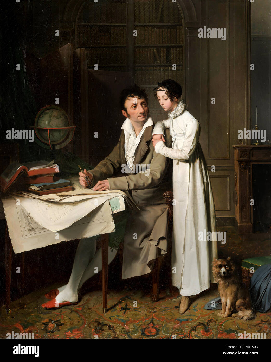
RMRAH503–Louis Leopold Boilly, The Geography Lesson Portrait of Monsieur Gaudry and His Daughter, 1812 Oil on canvas, Kimbell Art Museum, Fort Worth, Texas, USA.
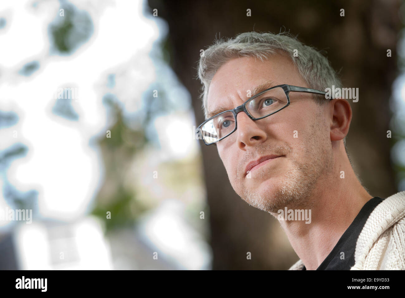
RME9YD33–Alastair Bonnett, author and Professor of Social Geography, at the Edinburgh International Book Festival 2014.
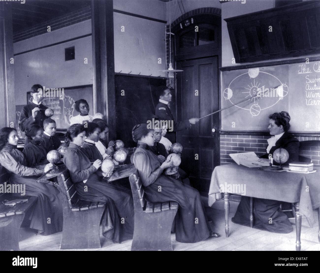
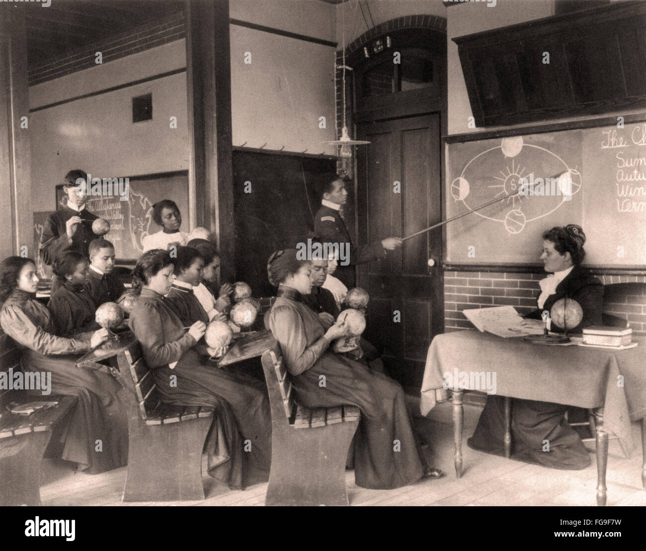
RMEX6TAT–Photographic print of a Mathematical Geography class studying the earth's rotation around the sun, Hampton Institute, Hampton, Virginia. Photographed by Frances Benjamin Johnston (1864-1952). Dated 1899
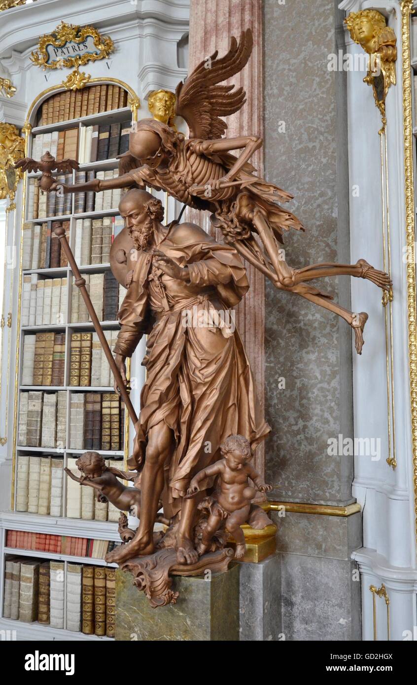
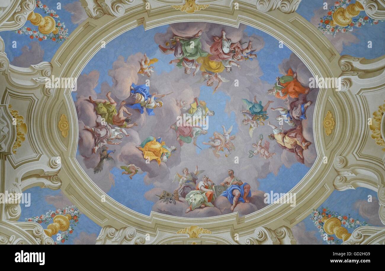
RMGD2HGX–geography / travel, fine arts, religious art, Admont Abbey, Austria, Artist's Copyright has not to be cleared
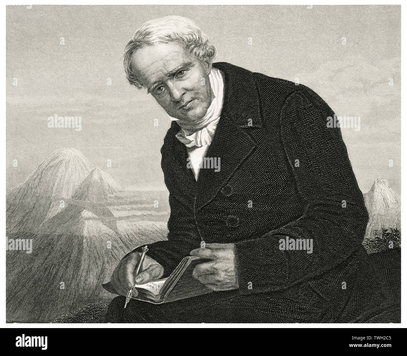
RMTWH2C5–Alexander von Humboldt (1769-1859), German Naturalist and Explorer and Major Figure in the Classical Period of Physical Geography and Biogeography, Head and Shoulders Portrait, Steel Engraving, Portrait Gallery of Eminent Men and Women of Europe and America by Evert A. Duyckinck, Published by Henry J. Johnson, Johnson, Wilson & Company, New York, 1873
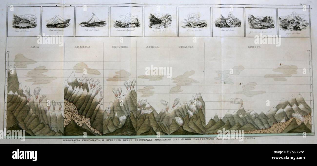
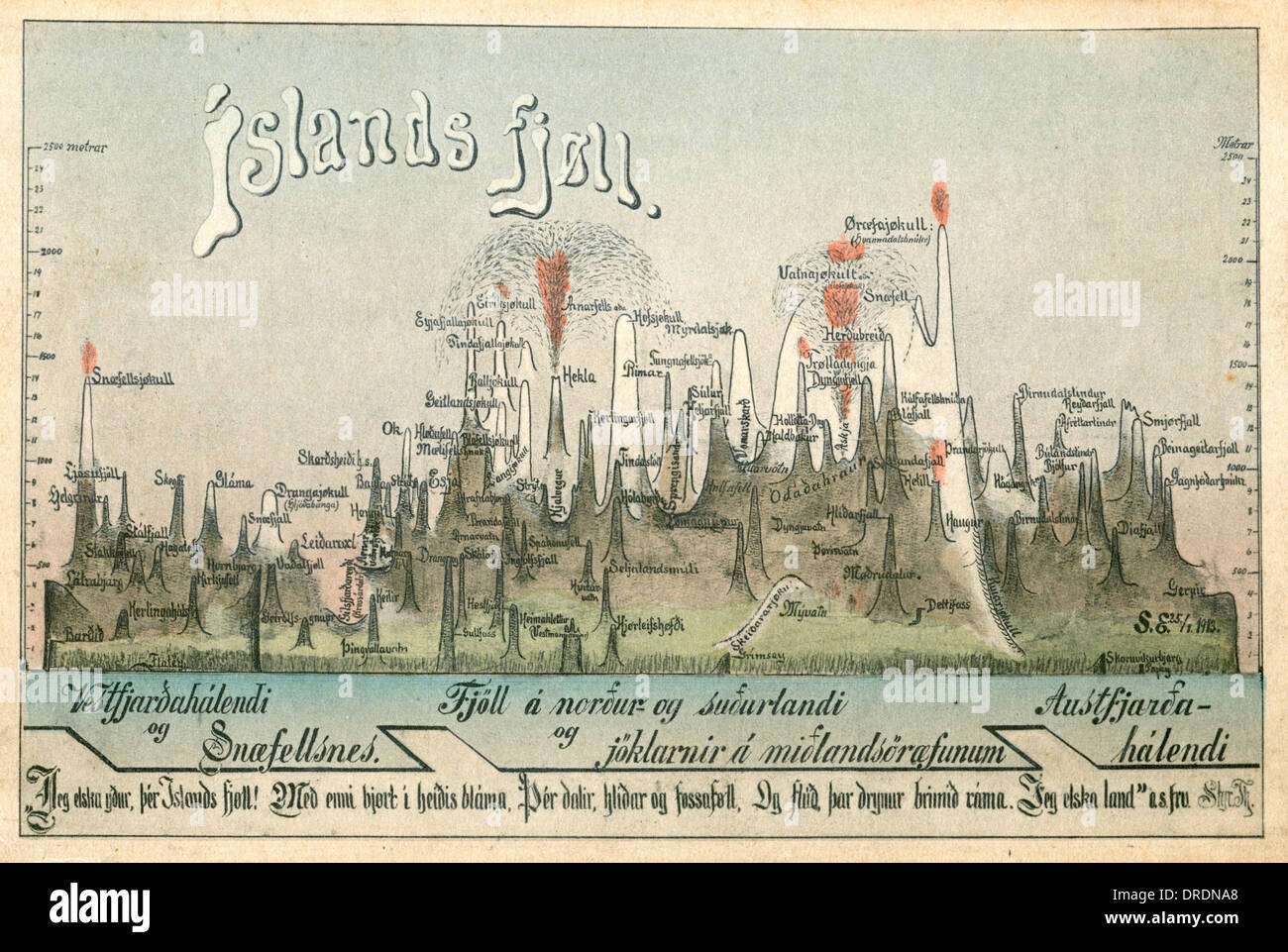
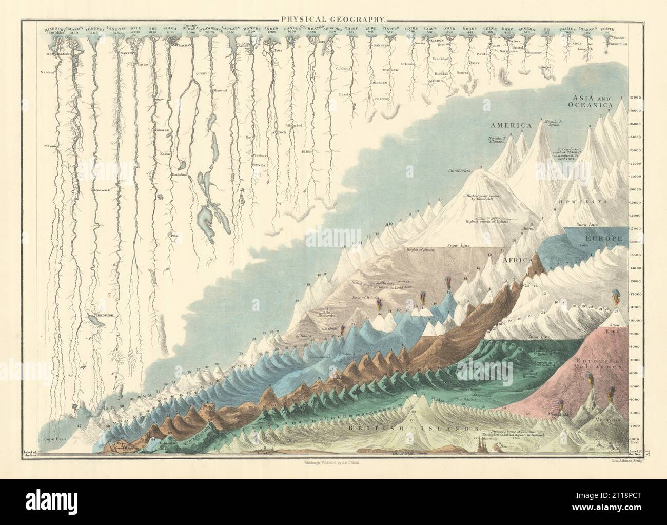
RF2M7C28Y–Comparative geography: mirror of the main mountains of the globe compared by their height, from Marmocchi Atlas, Florence, Italy 1838
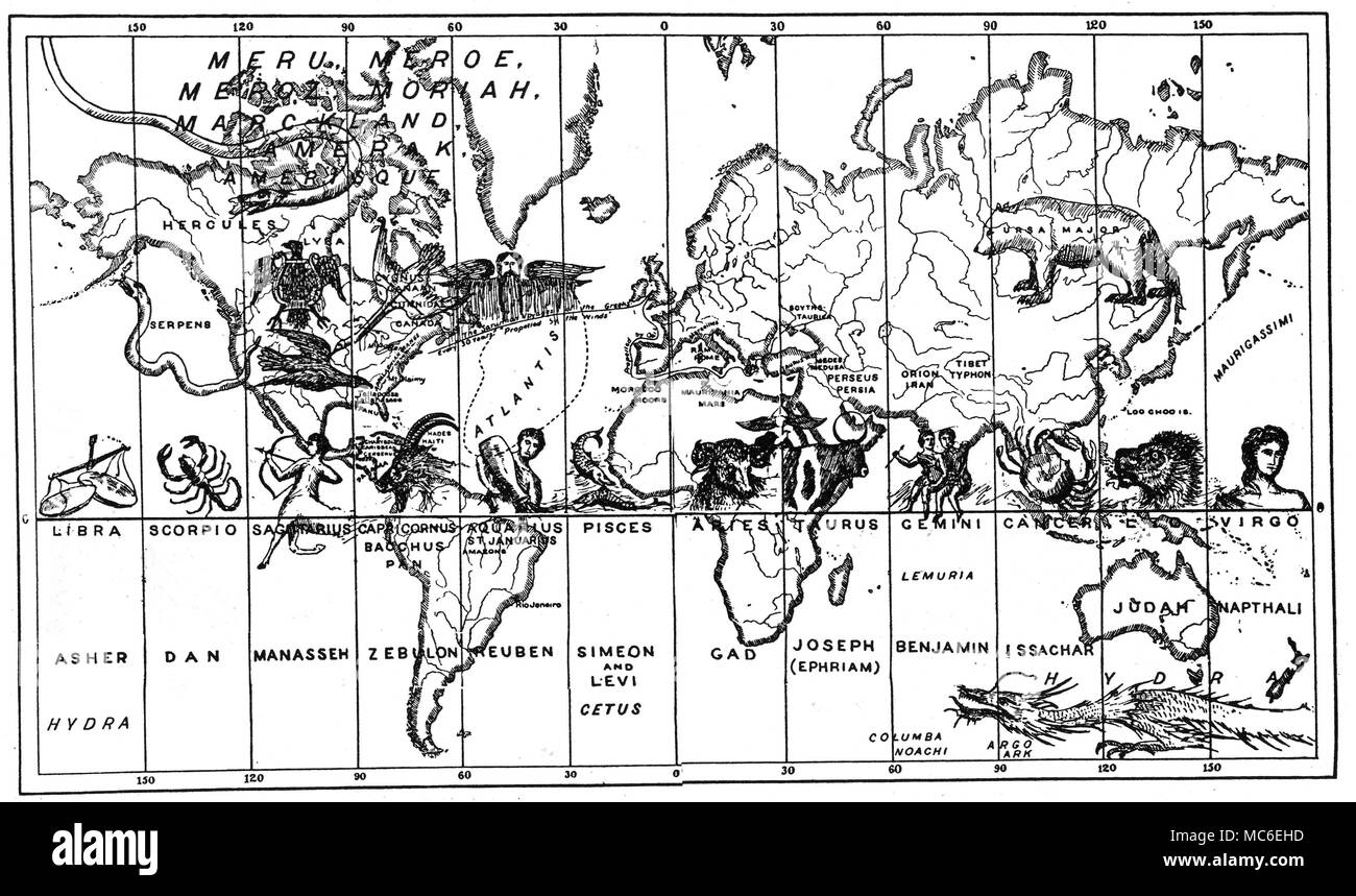
RMMC6EHD–ASTROLOGY - ASTRO-GEOGRAPHY The map of the World divided into twelve vertical strips, corresponding to longitudes, with a fanciful arrangement of zodiacal signs, linked with the Twelve Tribes of Israel. The fabulous Atlantis falls under the influence of Aquarius and Reuben, while the east coast of America falls under Capricorn and Zebulon. California falls under Sagittarius and Manasseh. From P. B. Randolph, Soul! The Soul of the World: the Homes of the Dead, 1883.
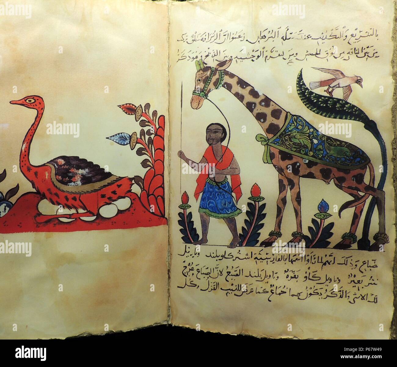
RMP67W49–Cartography and Geography. Advances in zoology, botany, astronomy and navigation and information brought back by traders, scientists, pilgrims and explorers resulted in major advances in geography and allowed Muslim scholars to develop highly accurate maps and terrestrial globes. These maps laid the foundation for the worldwide travels of later European explorers.
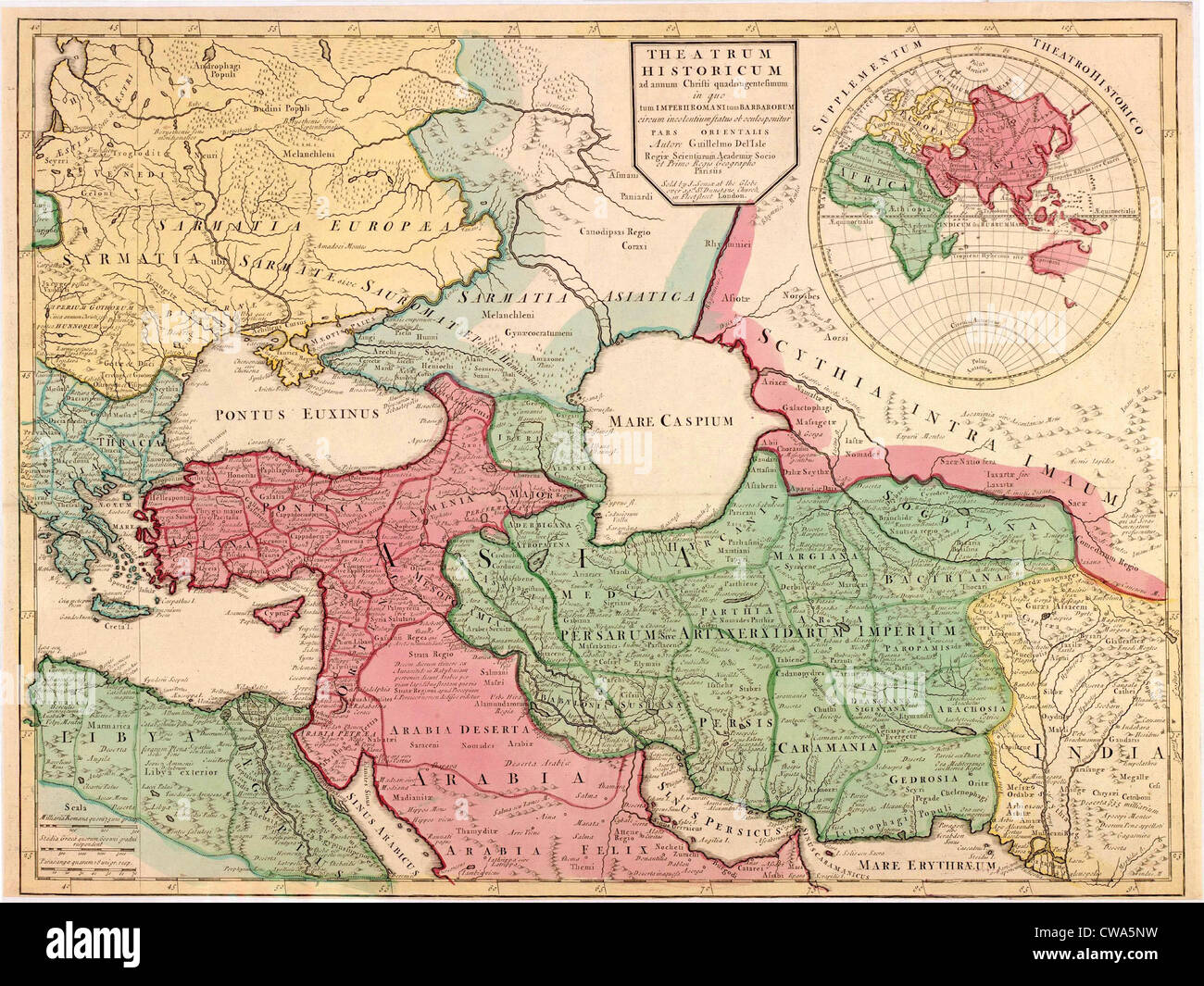
RMCWA5NW–1712 French map of Southwest Asia and Southeast Europe recreating the geography of the late Roman Empire of 400 AD. Map uses
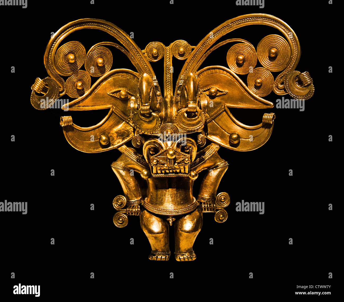
RMCTWW7Y–Figure Pendant 10th–16th century Geography Colombia Tairona Gold H. 5 1/2 in. (14 cm) Colombian
RM2GGD832–Rear cover logo of a 1914 British school geography book cover 'OUR OWN ISLANDS Elementary studies in Geography & History'. -- A revised hardback edition published by George Philip and son Ltd (editor H J Mackinder). The publishing house was founded by George Philip (1800–1882) who was a cartographer and map publisher. It sold at 2/- (two shillings) a copy at the start of WWI.

RM2BW2807–London school children study geography by seeing for themselves. Boys and girls at Dulwich Central School, London, have a new way of learning geography and they are enjoying it. Instead of studying textbooks they are given practical work. Classes are taken for walks to study the geography of their own and other districts, and pupils are allowed to go to the local library to obtain data for maps on population density, industrial works of the area and details of local contours. Factories of importance in the borough are also visited. Photo shows, children of the Dulwich Central School take posse

RME9YD3A–Alastair Bonnett, author and Professor of Social Geography, at the Edinburgh International Book Festival 2014.
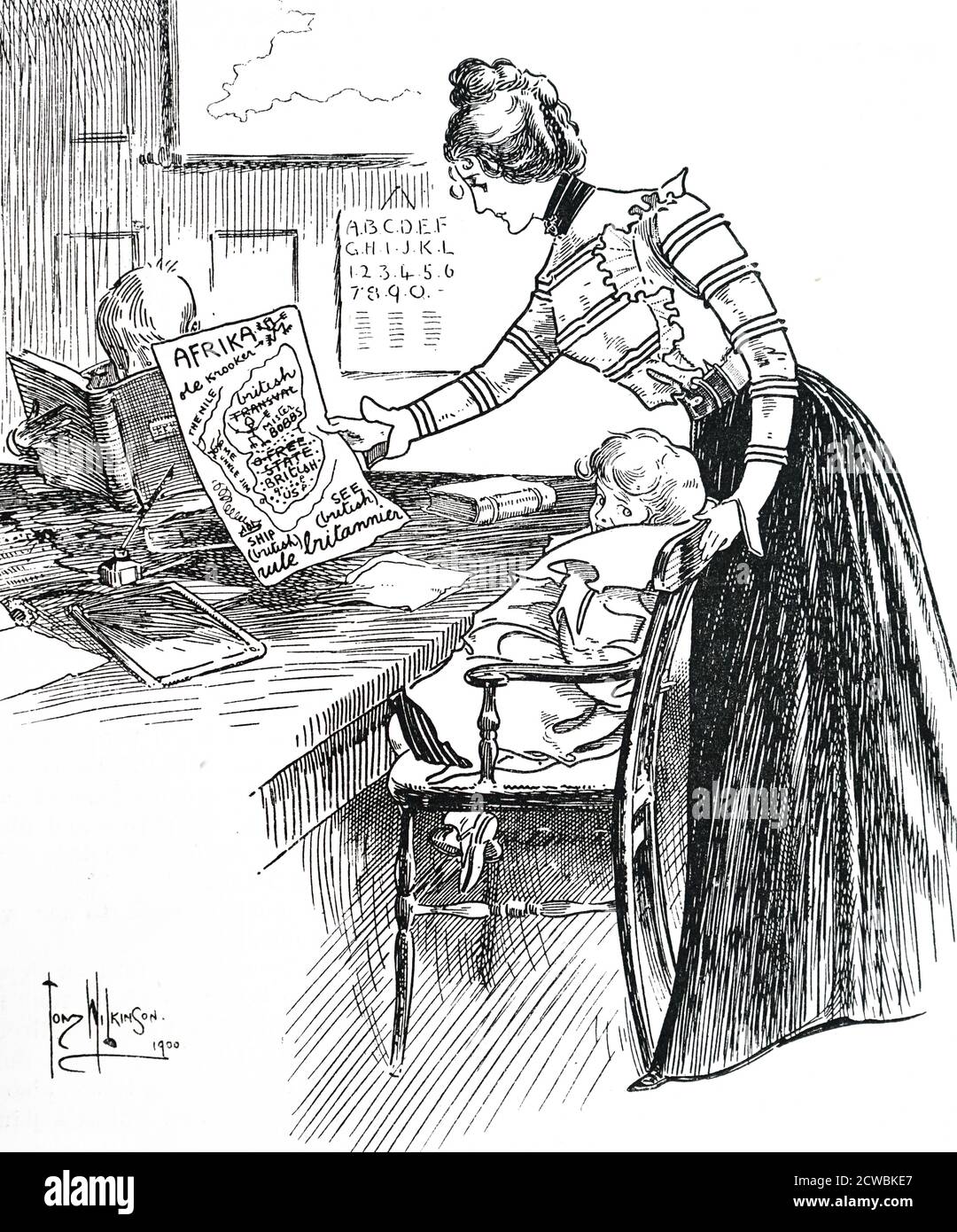
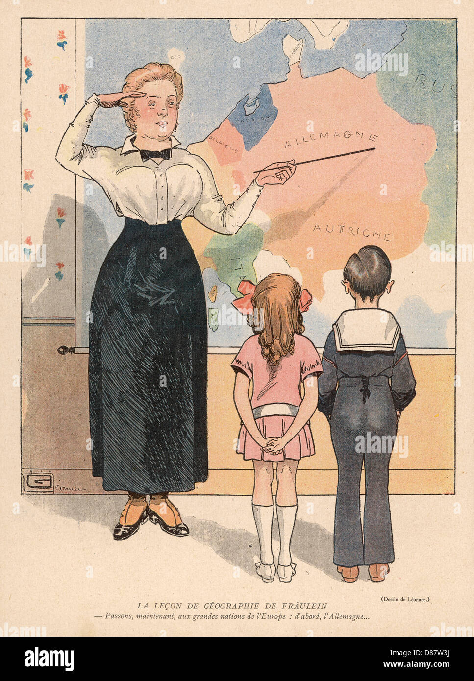
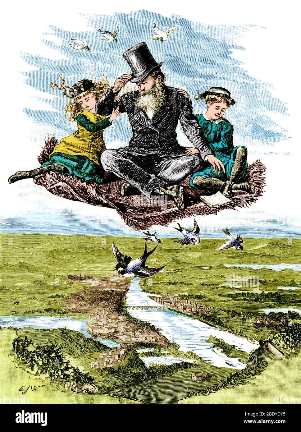
RM2CWBKE7–Cartoon depicting a governess with her charges. She is attempting to teach them geography.
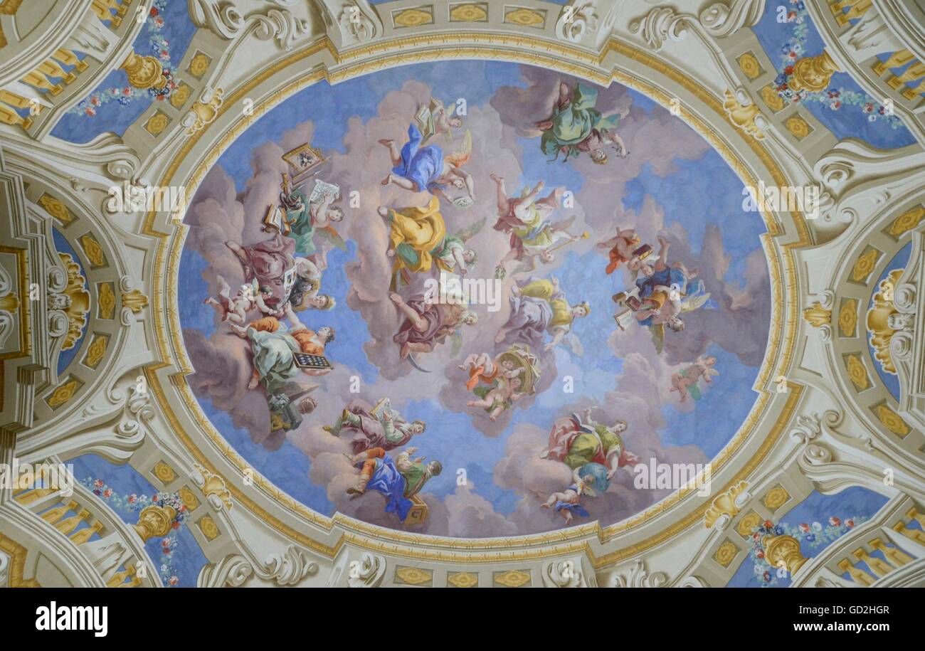
RMGD2HGR–geography / travel, fine arts, religious art, ceiling painting, monastery Admont, Austria, Artist's Copyright has not to be cleared
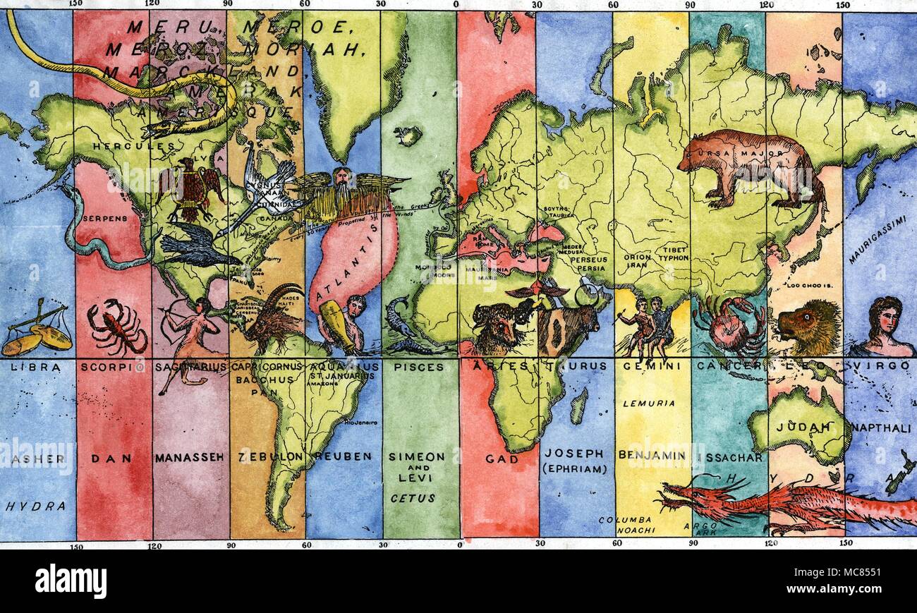
RMMC8551–Astrology - Astro Geography - Atlantis The map of the World divided into twelve vertical strips, corresponding to longitudes, with a fanciful arrangement of zodiac signs, linked with the Twelve Tribes of Israel. The fabulous Atlantis falls under the influence of Aquarius and Reuben, while the east coast of America falls under Capricorn and Zebulon. California falls under Sagittarius and Manasseh. The United States as a whole is under the influence of the constellation Lyra, while Russia is under Ursa Major, the Great Bear. From P b Randolph, Soul! The Soul of the World: the Homes of the Dead,

RMC0923G–Alfred-Ruehl-Haus building, Department of Geography, Humboldt-Universitaet university, Wissenschaftsstadt Adlershof Science City
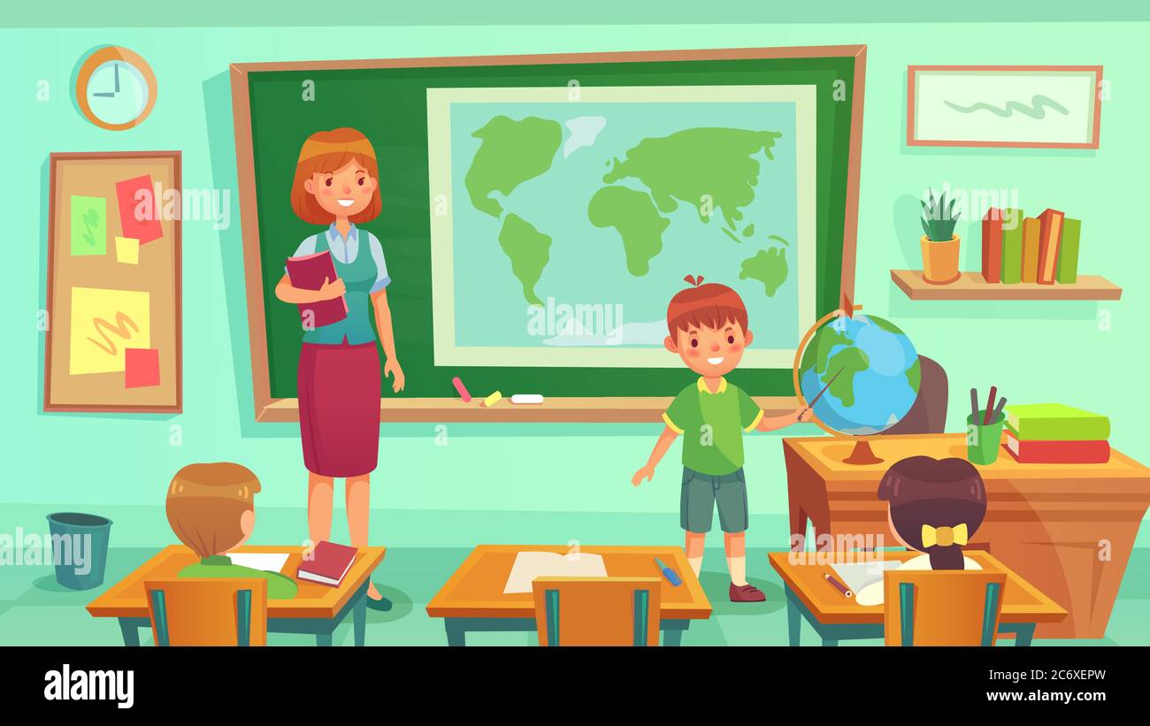
RF2C6XEPW–Geography class, teacher and pupils in room. Schoolboy showing country on globe. Woman teaching geography lesson
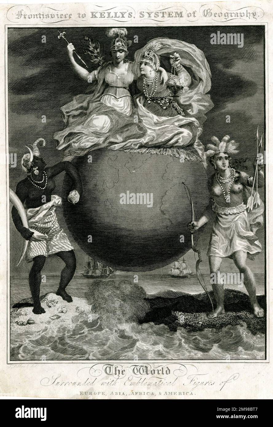
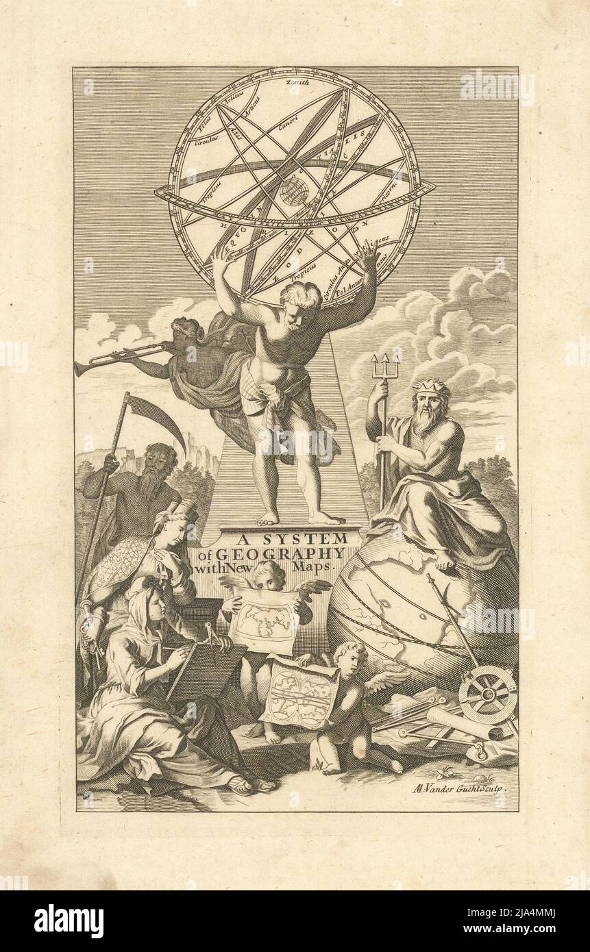
RM2M98BT7–Frontispiece, Kelly's System of Geography -- The World surrounded with emblematical figures of Europe, Asia, Africa & America.

RMCTWW82–Figure Pendant 10th–16th century Geography Colombia Tairona Gold H. 5 1/2 in. (14 cm) Colombian
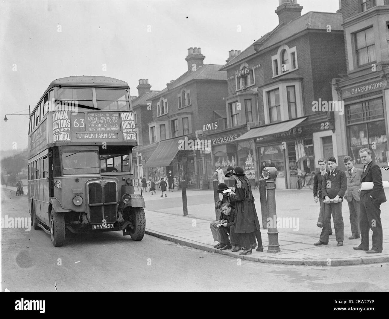
RM2BW27YP–Children of London school take traffic census, new way of teaching geography. Boys and girls at Dulwich Central School, London, have a new way of learning geography and they are enjoying it. Instead of studying textbooks they are given practical work. Classes are taken for walks to study the geography of their own and other districts, and pupils are allowed to go to the local library to obtain data for maps on population density, industrial works of the area and details of local contours. Factories of importance in the borough are also visited. Photo shows, children from Dulwich Central School
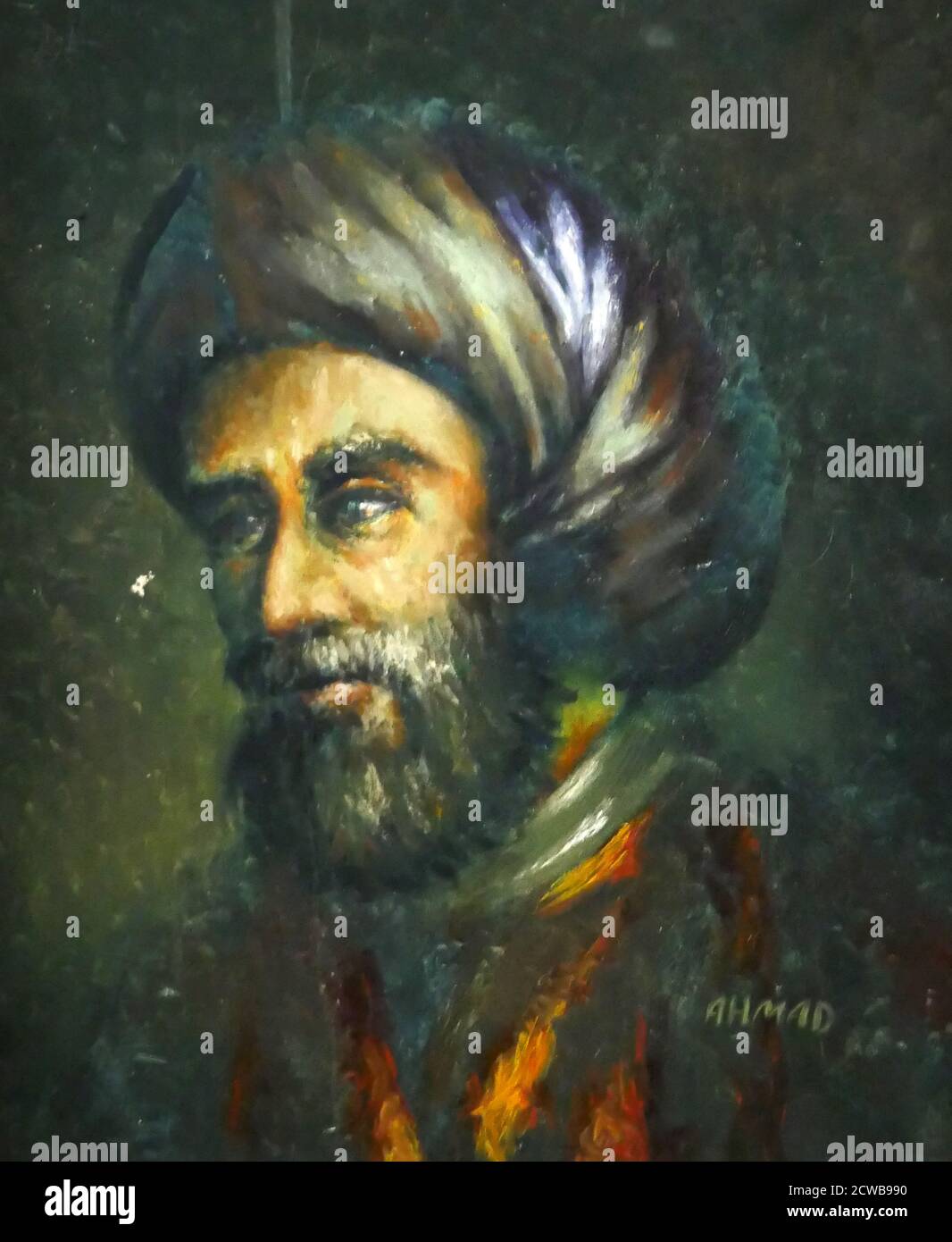
RM2CWB990–Portrait of Muhammad ibn Musa al-Khwarizmi ( Latinized as Algorithmi) a Persian scholar who produced works in mathematics, astronomy, and geography

RMGD2HGT–geography / travel, fine arts, religious art, ceiling painting, monastery Admont, Austria, Artist's Copyright has not to be cleared
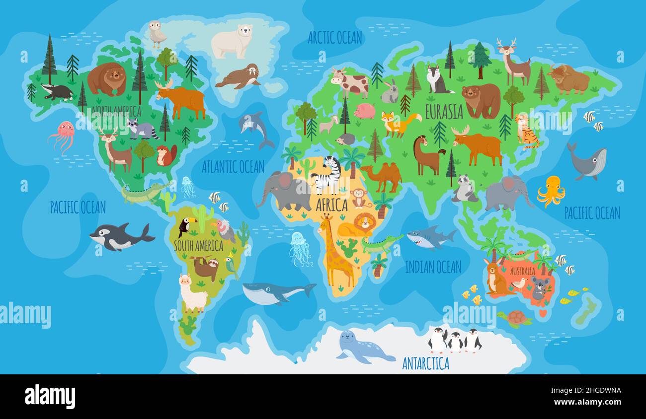
RF2HGDWNA–.Cartoon world map for kids nursery with forest animals. Children geography education with europe, asia, australia and america vector poster
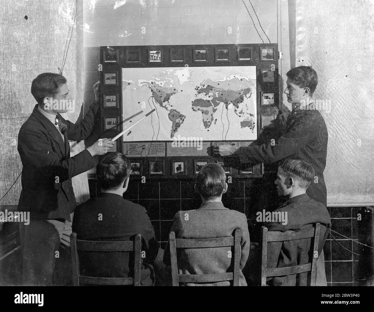
RM2BW3P40–London schoolboy ' plug in ' to geography, home made elecctric map makes them learn and like it . Pupils at Brockley Central School , London now ' plug in ' to geography lessons . Mr W T Harrison , geography master at the school assisted by the art and carpentry masters and the boys of the sixth form , has built an electric map . When a boy is asked a question about any part of the world , he replies by fitting a plug into one of a hundred sockets , a light shines behind a glass slide marked with the temperature , rainfall and chief products of the region . If the boy uses the wrong socket , t
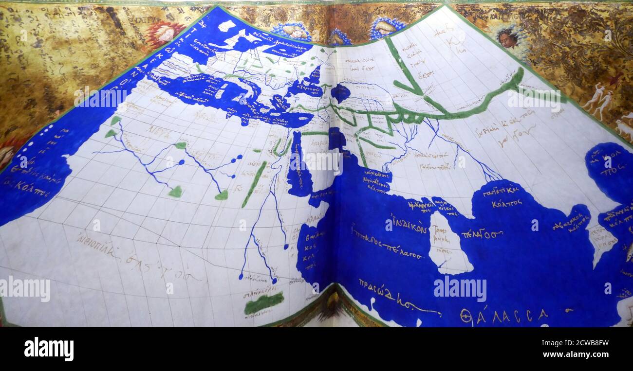
RM2CWB8FW–The Ptolemy world map is a map of the world known to Hellenistic society in the 2nd century. It is based on the description contained in Ptolemy's book Geography, written c. 150. Based on an inscription in several of the earliest surviving manuscripts, it is traditionally credited to Agathodaemon of Alexandria.
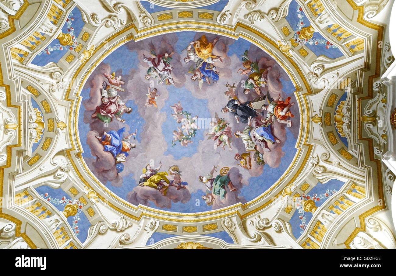
RMGD2HGE–geography / travel, fine arts, religious art, ceiling painting, monastery Admont, Austria, Artist's Copyright has not to be cleared
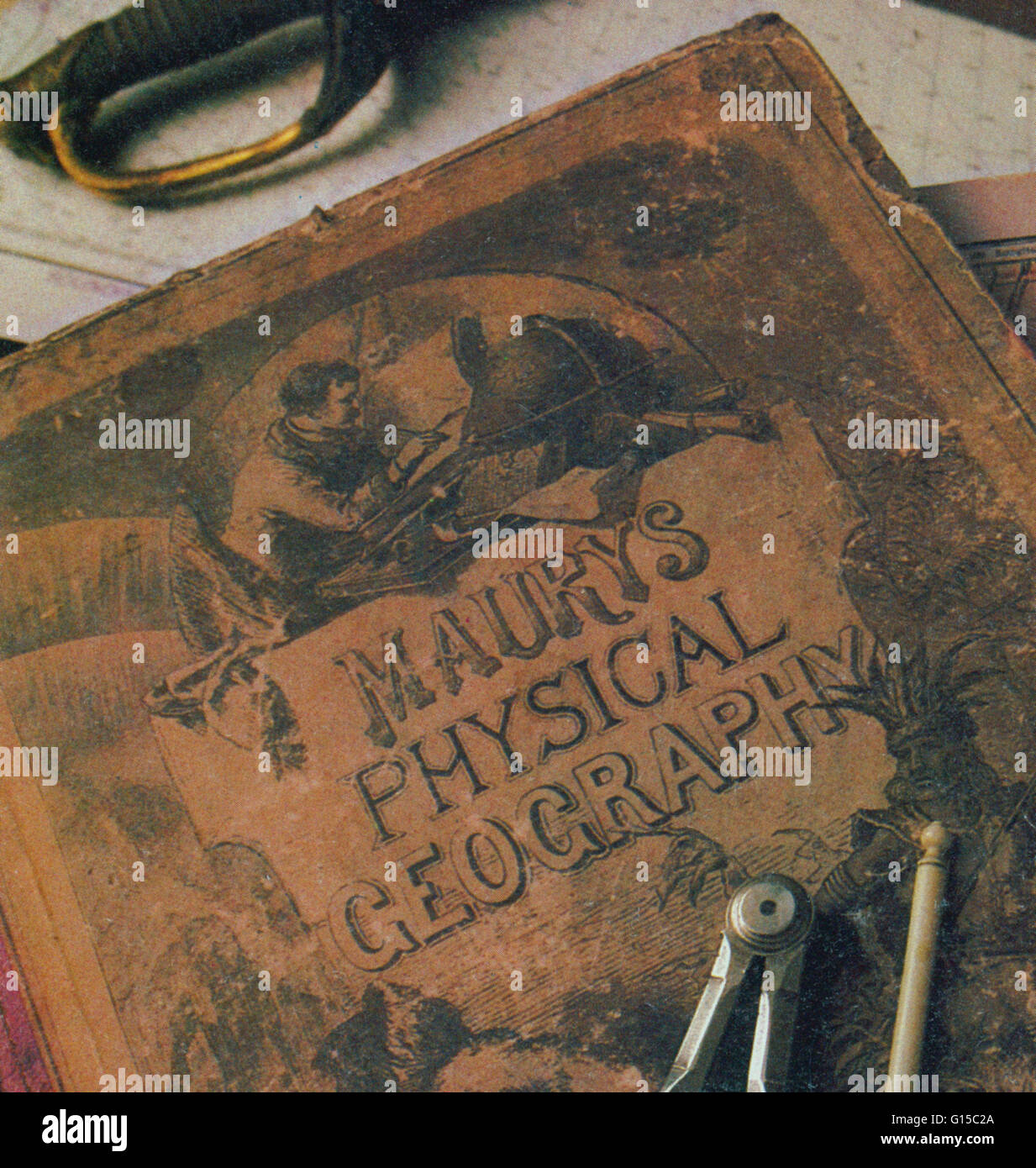
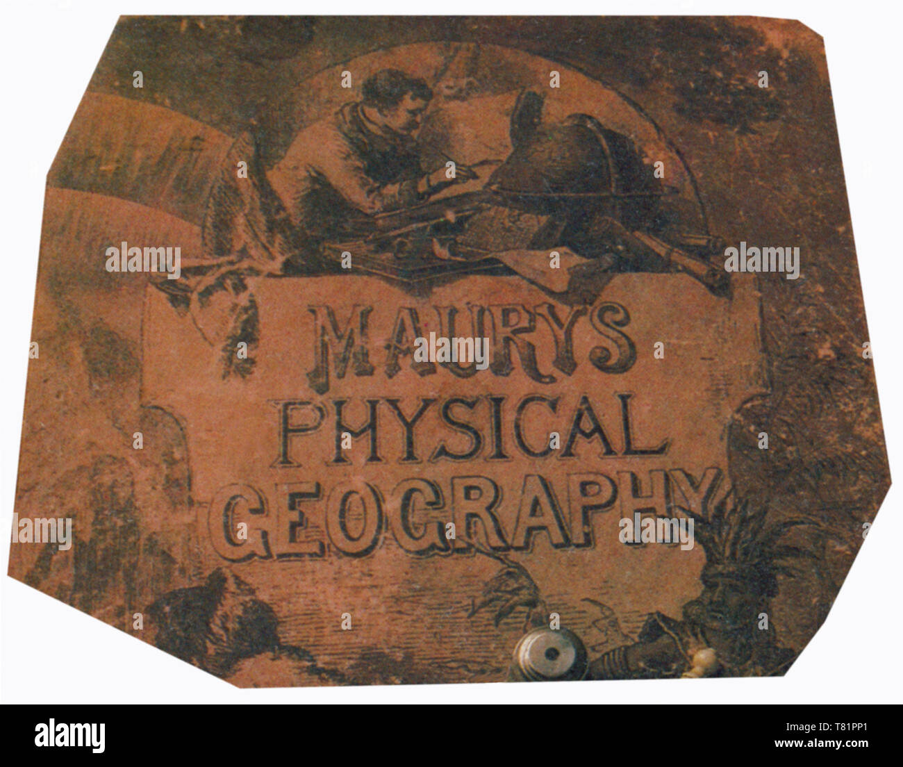
RMG15C2A–Maury's Physical Geography of the Sea (1855), the first extensive and comprehensive book on oceanography to be published. Matthew Fontaine Maury (1806-1873), was a commander in the United States Navy. He was an important oceanographer, meteorologist, and
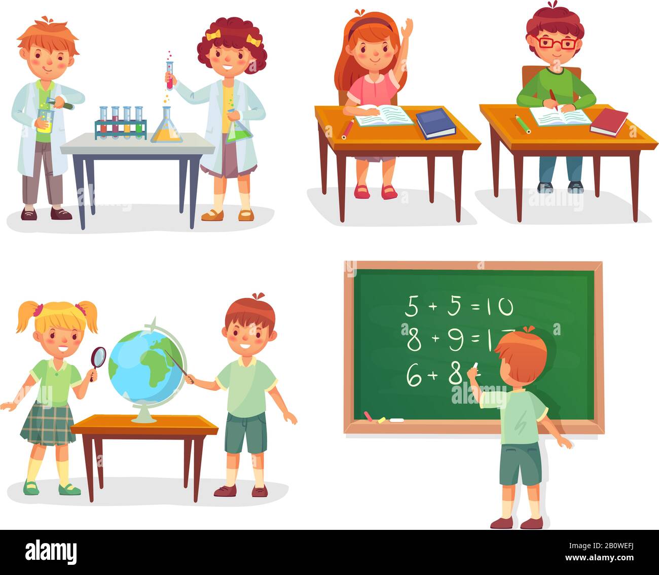
RF2B0WEFJ–Kids on school lesson. Primary schools pupils on chemistry lessons, learn geography globe or sit at desk vector cartoon illustration
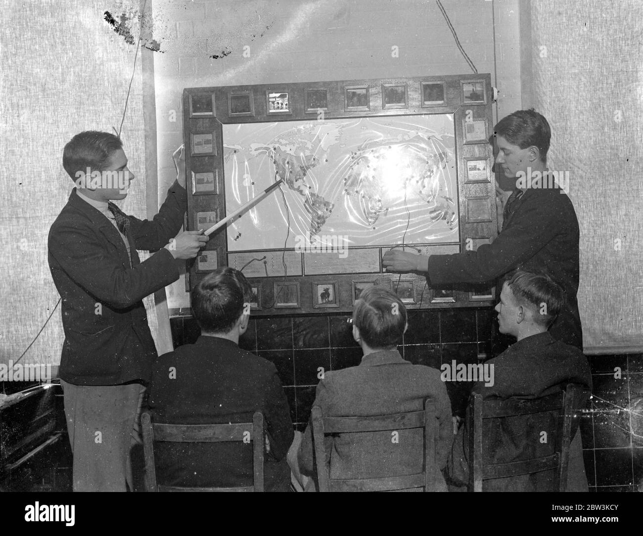
RM2BW3KCY–London schoolboy ' plug in ' to geography, home made elecctric map makes them learn and like it . Pupils at Brockley Central School , London now ' plug in ' to geography lessons . Mr W T Harrison , geography master at the school assisted by the art and carpentry masters and the boys of the sixth form , has built an electric map . When a boy is asked a question about any part of the world , he replies by fitting a plug into one of a hundred sockets , a light shines behind a glass slide marked with the temperature , rainfall and chief products of the region . If the boy uses the wrong socket , t
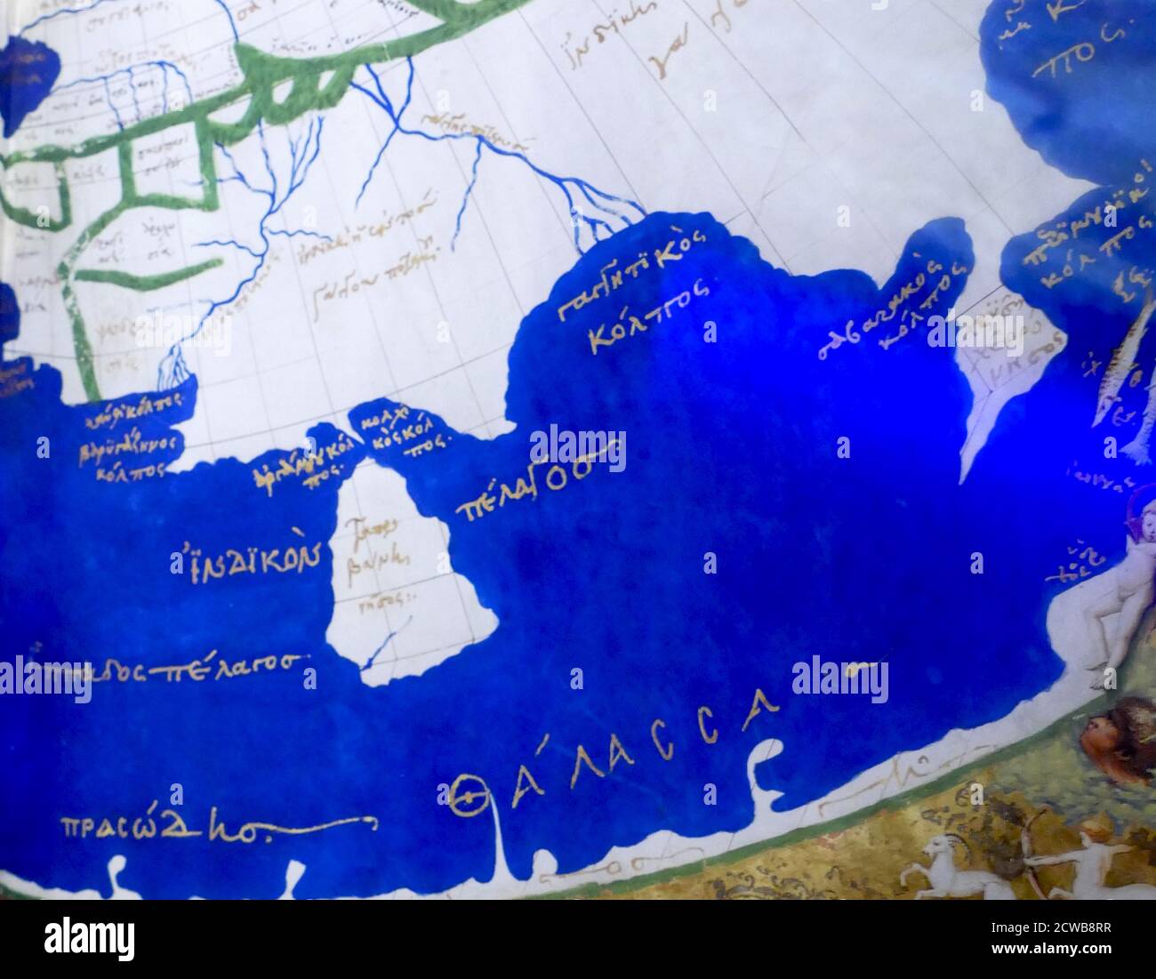
RM2CWB8RR–The Ptolemy world map is a map of the world known to Hellenistic society in the 2nd century. It is based on the description contained in Ptolemy's book Geography, written c. 150. Based on an inscription in several of the earliest surviving manuscripts, it is traditionally credited to Agathodaemon of Alexandria.
Search Results for Geography Stock Photos and Images (2,816,145)
Page 1 of 500

