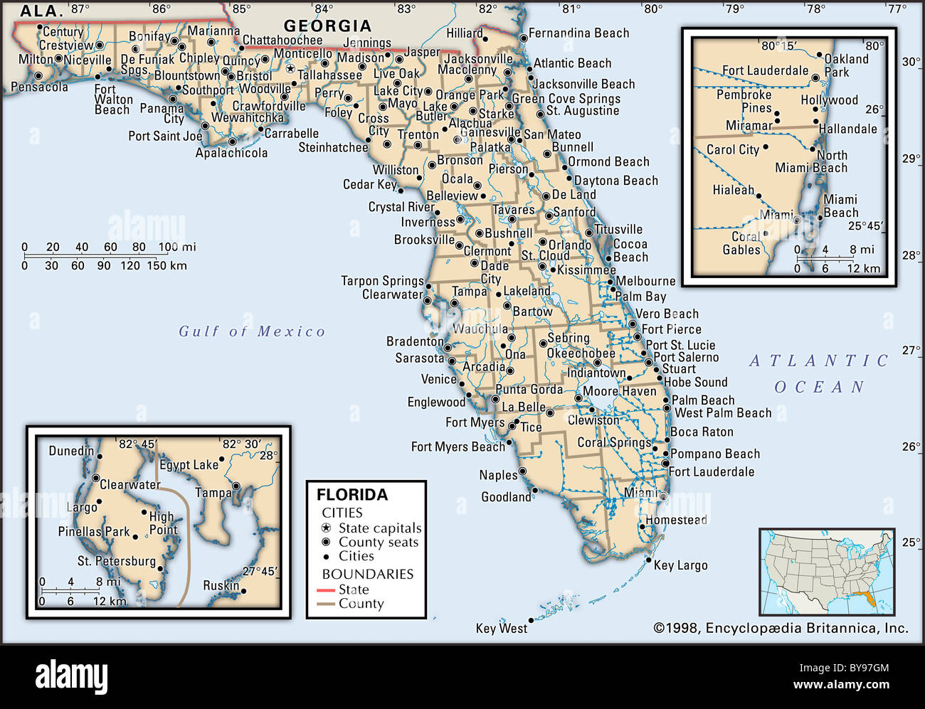
Political map of Florida
RMID:Image ID:BY97GM
Image details
Contributor:
Universal Images Group North America LLC / Alamy Stock PhotoImage ID:
BY97GMFile size:
29.2 MB (1.5 MB Compressed download)Releases:
Model - no | Property - noDo I need a release?Dimensions:
3825 x 2671 px | 32.4 x 22.6 cm | 12.8 x 8.9 inches | 300dpiPhotographer:
Encyclopaedia BritannicaMore information:
This image could have imperfections as it’s either historical or reportage.
Political map of the state of Florida, with insets of the Miami and Tampa/St. Petersburg metropolitan regions.