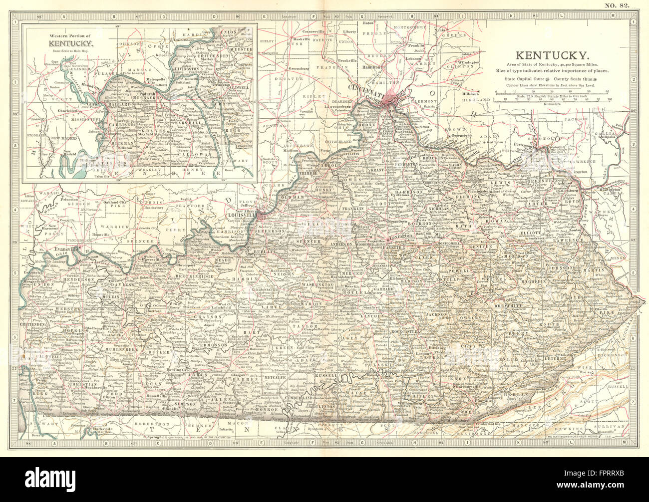
KENTUCKY: State map showing civil war battlefields & dates. Britannica, 1903
RFID:Image ID:FPRRXB
Image details
Contributor:
Antiqua Print Gallery / Alamy Stock PhotoImage ID:
FPRRXBFile size:
43.6 MB (4 MB Compressed download)Releases:
Model - no | Property - noDo I need a release?Dimensions:
4647 x 3276 px | 39.3 x 27.7 cm | 15.5 x 10.9 inches | 300dpiDate taken:
1903Location:
KentuckyMore information:
This image could have imperfections as it’s either historical or reportage.
'Kentucky'. Artist/engraver/cartographer: Unsigned. Provenance: "Encyclopaedia Britannica" 10th edition Maps; published by Adam & Charles. Black, Edinburgh, London. Type: Colour antique lithographic map. The sites of important battles and their dates are marked on this map for the following conflicts: American Civil War