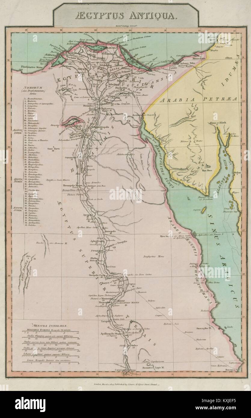
"Aegyptus Antiqua". Ancient Egypt. Nile valley Sinai Red Sea. D'ANVILLE 1815 map
RFID:Image ID:KXJEF5
Image details
Contributor:
Antiqua Print Gallery / Alamy Stock PhotoImage ID:
KXJEF5File size:
66.1 MB (2.1 MB Compressed download)Releases:
Model - no | Property - noDo I need a release?Dimensions:
3855 x 5996 px | 32.6 x 50.8 cm | 12.9 x 20 inches | 300dpiDate taken:
1815Location:
EgyptMore information:
This image could have imperfections as it’s either historical or reportage.
Artist/engraver/cartographer: Jean Baptiste Bourguignon d'Anville. Provenance: "Atlas and Geography of the Antients, with twelve maps in atlas folio, being the geography of the Greeks and the Romans in the aeras of Alexander the Great and Augustus", by M. d'Anville. Printed by T. Chaplin, Crane-Court, Fleet-Street, for J.Davis, Minitary Chronicle Office, Charlotte Street, Bloomsbury. Type: Large (folio) copperplate antique map with original hand colour.