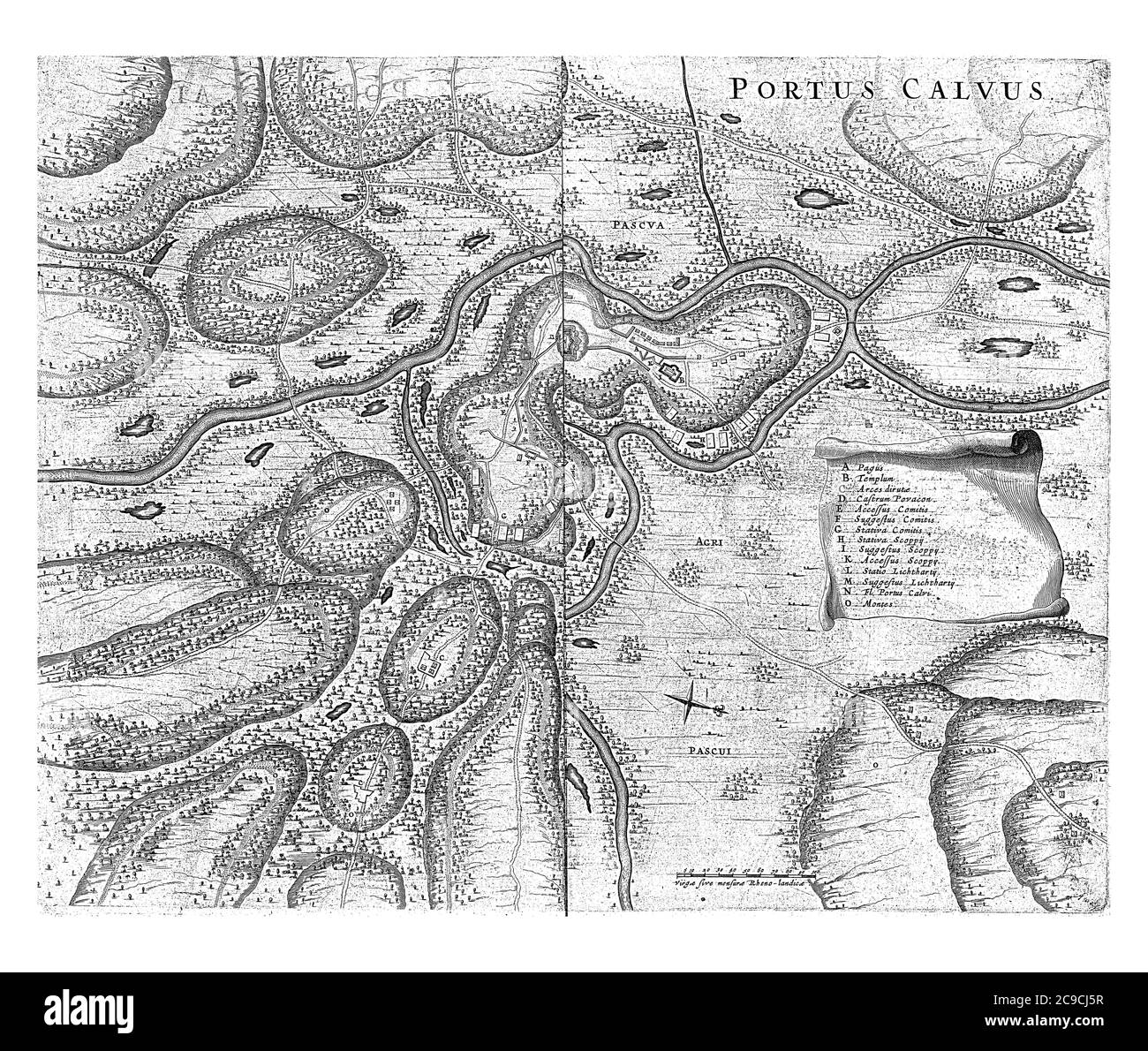
Map of the area around Porto Calvo where the Portuguese and indigenous fighters fought, 1637 On the left a banderole with the explanation of the lette
RFID:Image ID:2C9CJ5R
Image details
Contributor:
Patrick Guenette / Alamy Stock PhotoImage ID:
2C9CJ5RFile size:
78.7 MB (9.8 MB Compressed download)Releases:
Model - no | Property - noDo I need a release?Dimensions:
5700 x 4827 px | 48.3 x 40.9 cm | 19 x 16.1 inches | 300dpiDate taken:
1 May 2020More information:
Map of the area around Porto Calvo where the Portuguese and indigenous fighters fought, 1637 On the left a banderole with the explanation of the letters AO, vintage engraving.