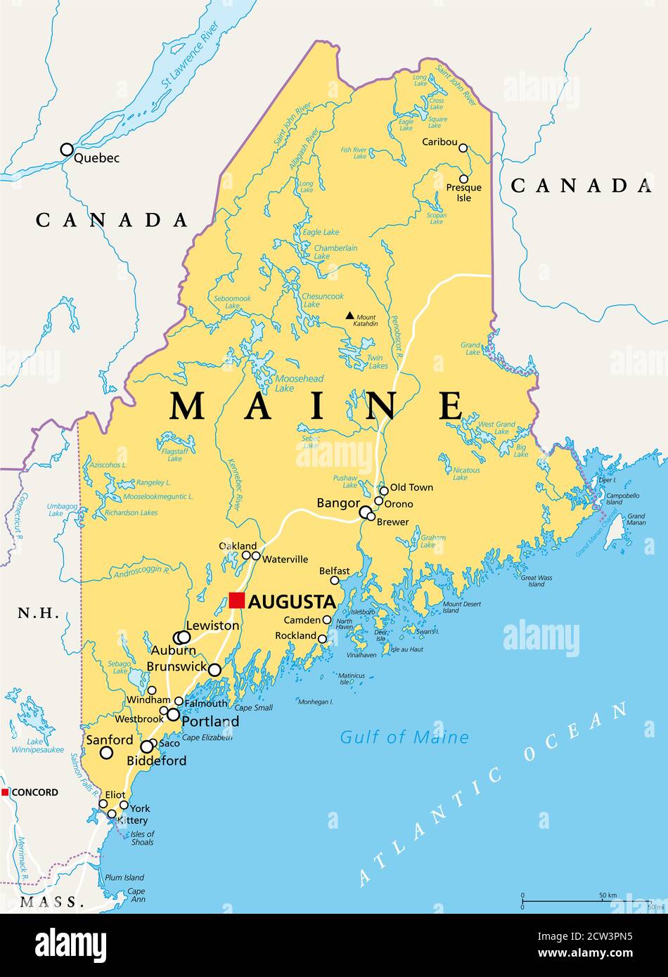
Maine, ME, political map with capital Augusta. Northernmost state in the United States of America, and located in the New England region.
RFID:Image ID:2CW3PN5
Image details
Contributor:
Peter Hermes Furian / Alamy Stock PhotoImage ID:
2CW3PN5File size:
140.9 MB (2.3 MB Compressed download)Releases:
Model - no | Property - noDo I need a release?Dimensions:
6000 x 8208 px | 50.8 x 69.5 cm | 20 x 27.4 inches | 300dpiDate taken:
27 September 2020Location:
MaineMore information:
Maine, ME, political map with capital Augusta. Northernmost state in the United States of America, and located in the New England region. The Pine Tree State. Vacationland. Illustration.