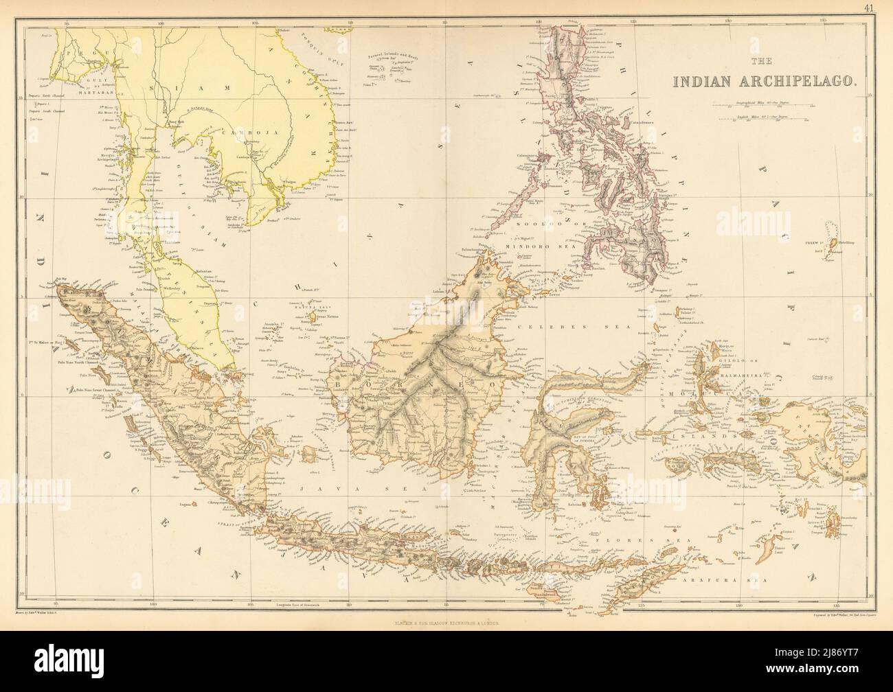
DUTCH EAST INDIES. "Indian Archipelago" Indonesia Philippines Singapore 1886 map
RFID:Image ID:2J86YT7
Image details
Contributor:
Antiqua Print Gallery / Alamy Stock PhotoImage ID:
2J86YT7File size:
76.4 MB (5 MB Compressed download)Releases:
Model - no | Property - noDo I need a release?Dimensions:
6147 x 4344 px | 52 x 36.8 cm | 20.5 x 14.5 inches | 300dpiDate taken:
1886Location:
East IndiesMore information:
This image could have imperfections as it’s either historical or reportage.
The Indian Archipelago. Artist/engraver/cartographer: Engraved by Edwd. Weller, 34, Red Lion Square; drawn by Edwd. Weller F.R.G.S. Provenance: "The Comprehensive Atlas & Geography of the world", Compiled and Engraved from the most Authentic sources, under the supervision of W.G. Blackie, Published by Blackie & Son, London [The Comprehensive Atlas]. Type: Antique colour map.