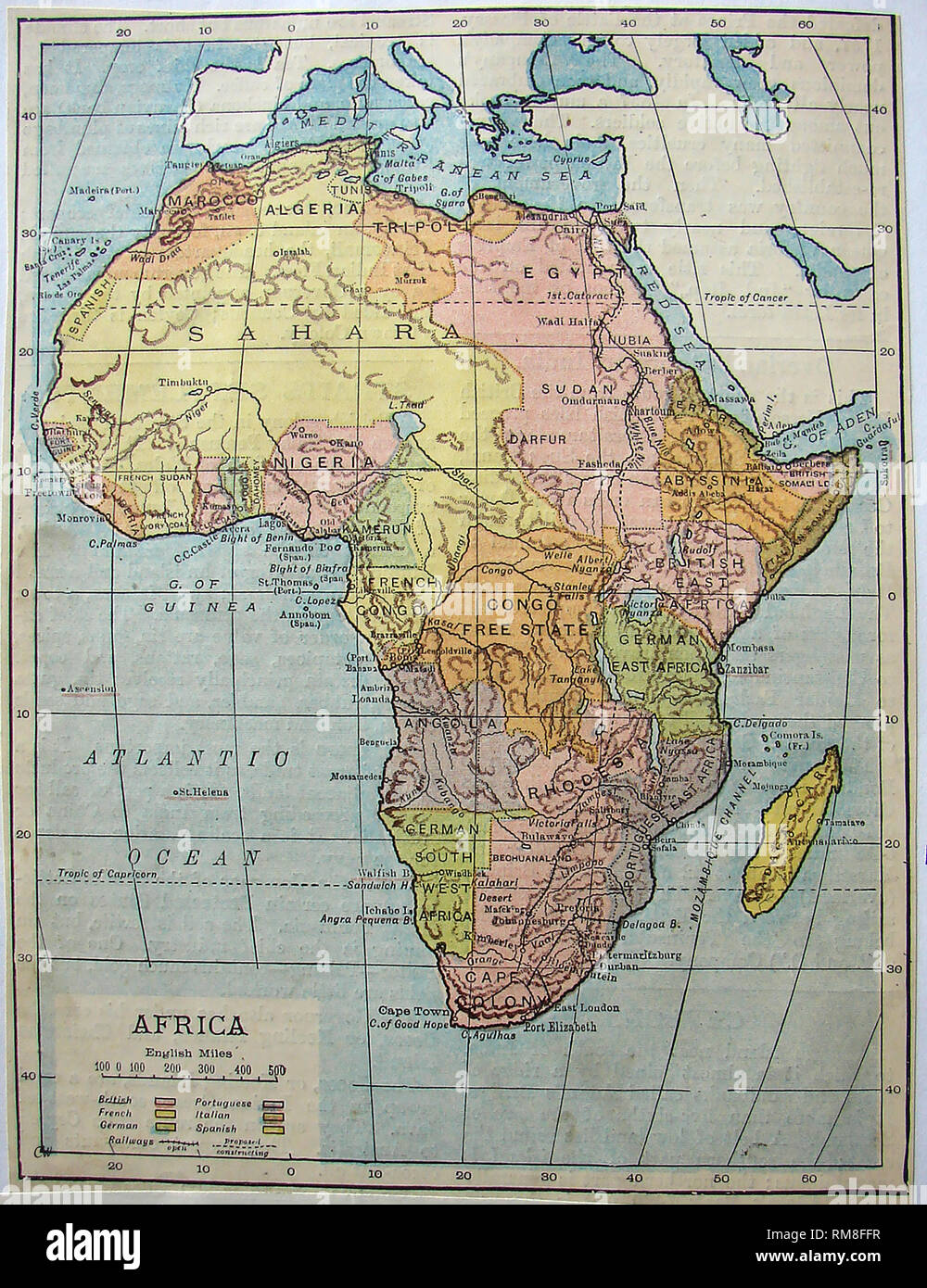
Coloured map of the continent of Africa in 1901 showing names of countries,borders,territories etc
RMID:Image ID:RM8FFR
Image details
Contributor:
Colin Waters / Alamy Stock PhotoImage ID:
RM8FFRFile size:
178.4 MB (6.8 MB Compressed download)Releases:
Model - no | Property - noDo I need a release?Dimensions:
6930 x 9000 px | 58.7 x 76.2 cm | 23.1 x 30 inches | 300dpiDate taken:
4 July 2008More information:
This image could have imperfections as it’s either historical or reportage.