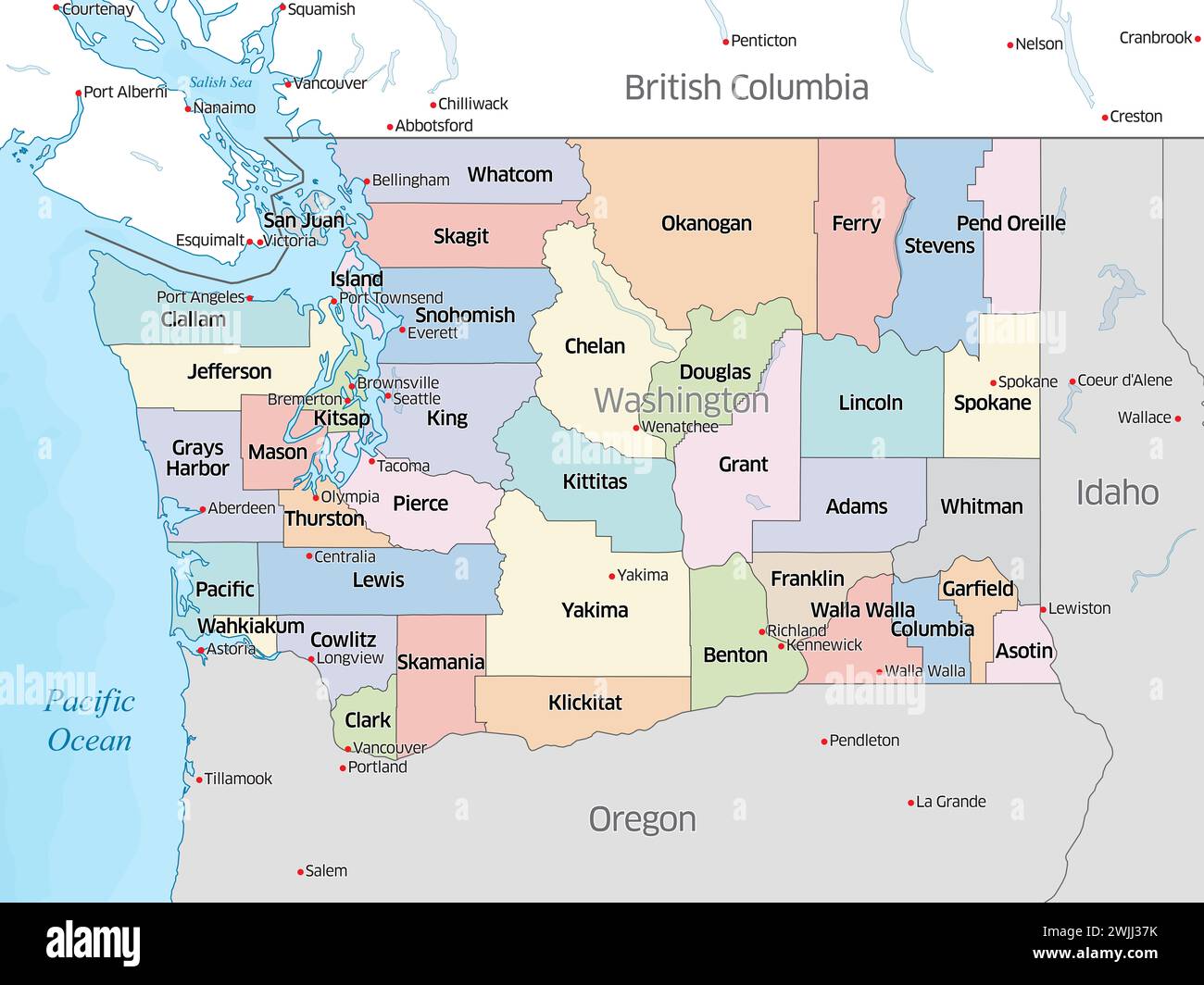
Colorful political map showing the counties that make up the state of Washington, located in the United States.
RFID:Image ID:2WJJ37K
Image details
Contributor:
Jerry Regis / Alamy Stock PhotoImage ID:
2WJJ37KFile size:
181.7 MB (2.3 MB Compressed download)Releases:
Model - no | Property - noDo I need a release?Dimensions:
9202 x 6901 px | 77.9 x 58.4 cm | 30.7 x 23 inches | 300dpiDate taken:
15 February 2024Location:
Washington, United States