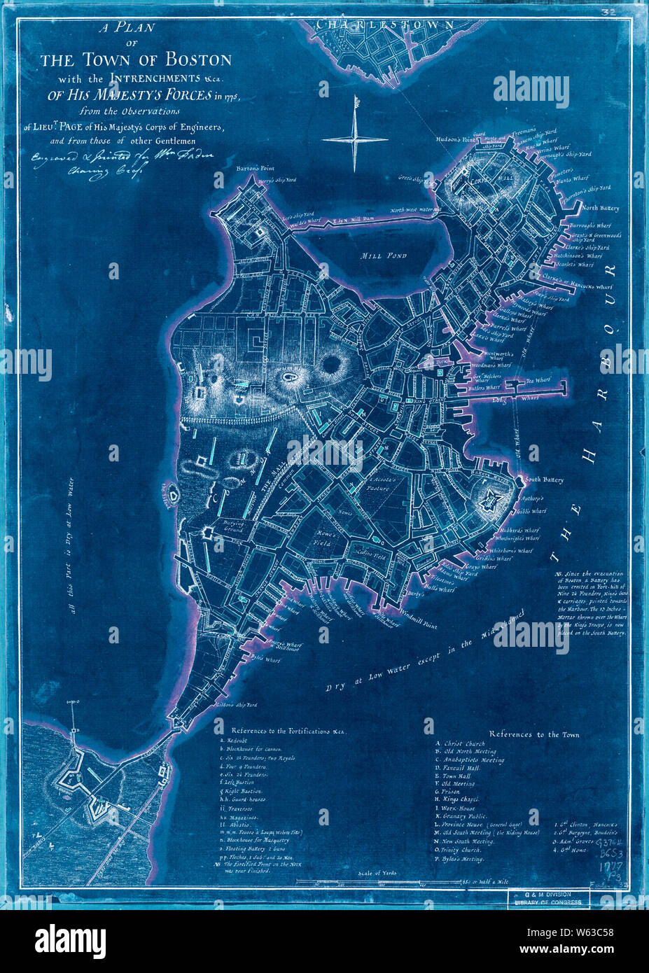
American Revolutionary War Era Maps 1750-1786 255 A plan of the town of Boston with the intrenchments &ca of His Majesty's forces in 1775 from the Inverted Rebuild and Repair
RMID:Image ID:W63C58
Image details
Contributor:
Wetdryvac / Alamy Stock PhotoImage ID:
W63C58File size:
61.9 MB (4.1 MB Compressed download)Releases:
Model - no | Property - noDo I need a release?Dimensions:
3929 x 5504 px | 33.3 x 46.6 cm | 13.1 x 18.3 inches | 300dpiDate taken:
20 May 2005More information:
This image could have imperfections as it’s either historical or reportage.