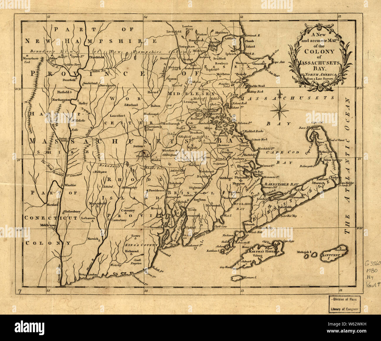
American Revolutionary War Era Maps 1750-1786 145 A new and accurate map of the colony of Massachusets ie Massachusetts Bay in North America from a late Rebuild and Repair
RMID:Image ID:W62WKH
Image details
Contributor:
Wetdryvac / Alamy Stock PhotoImage ID:
W62WKHFile size:
29.4 MB (1.6 MB Compressed download)Releases:
Model - no | Property - noDo I need a release?Dimensions:
3528 x 2912 px | 29.9 x 24.7 cm | 11.8 x 9.7 inches | 300dpiDate taken:
20 May 2005More information:
This image could have imperfections as it’s either historical or reportage.