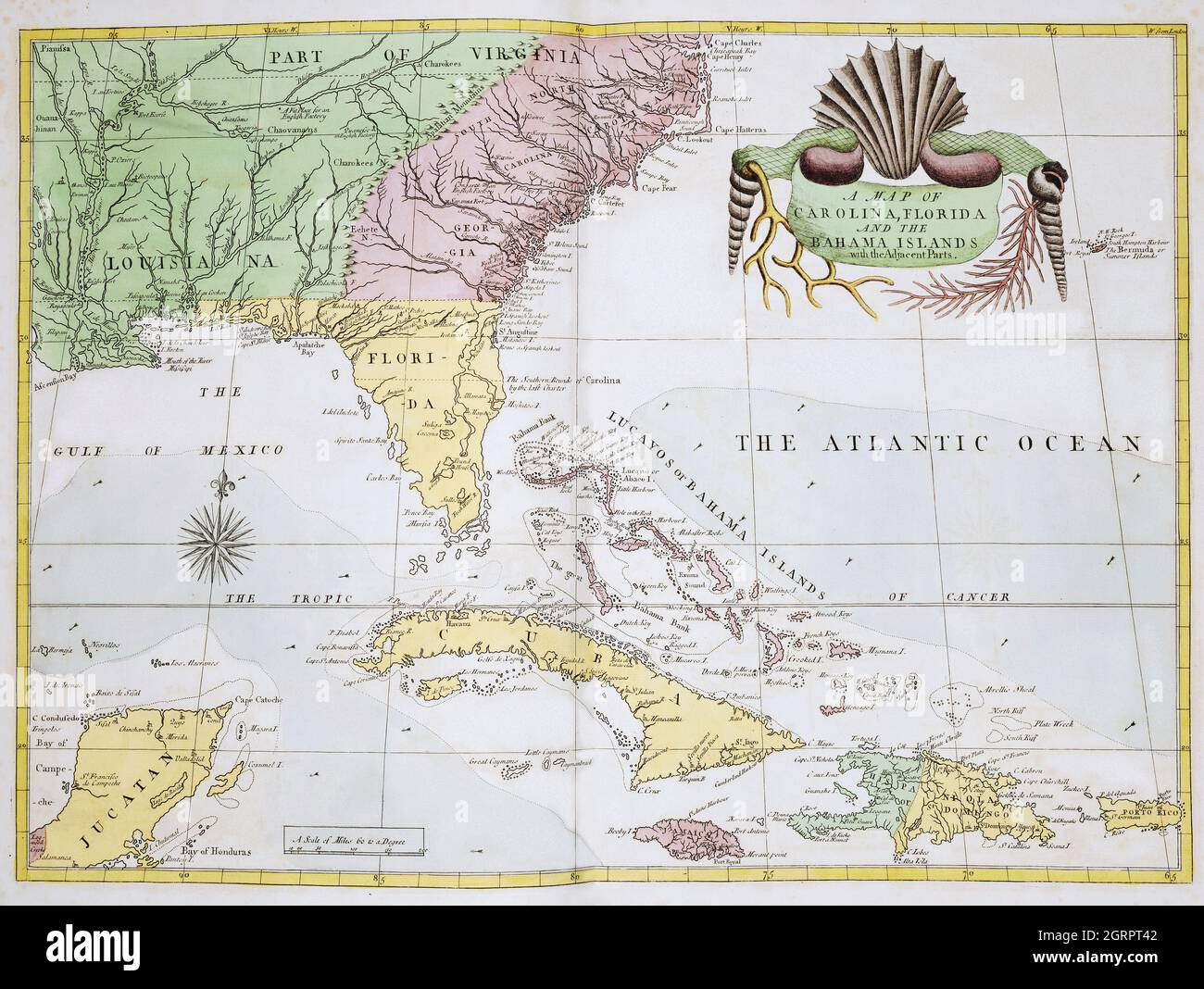
A map of Carolina, Florida and the Bahama Islands with the adjacent parts from The Natural History of Carolina, Florida, and the Bahama Islands (1754)
RMID:Image ID:2GRPT42
Image details
Contributor:
Bill Waterson / Alamy Stock PhotoImage ID:
2GRPT42File size:
53.8 MB (3 MB Compressed download)Releases:
Model - no | Property - noDo I need a release?Dimensions:
5000 x 3762 px | 42.3 x 31.9 cm | 16.7 x 12.5 inches | 300dpiMore information:
This image is a public domain image, which means either that copyright has expired in the image or the copyright holder has waived their copyright. Alamy charges you a fee for access to the high resolution copy of the image.
This image could have imperfections as it’s either historical or reportage.
A map of Carolina, Florida and the Bahama Islands with the adjacent parts from The Natural History of Carolina, Florida, and the Bahama Islands (1754) by Mark Catesby (1683-1749).