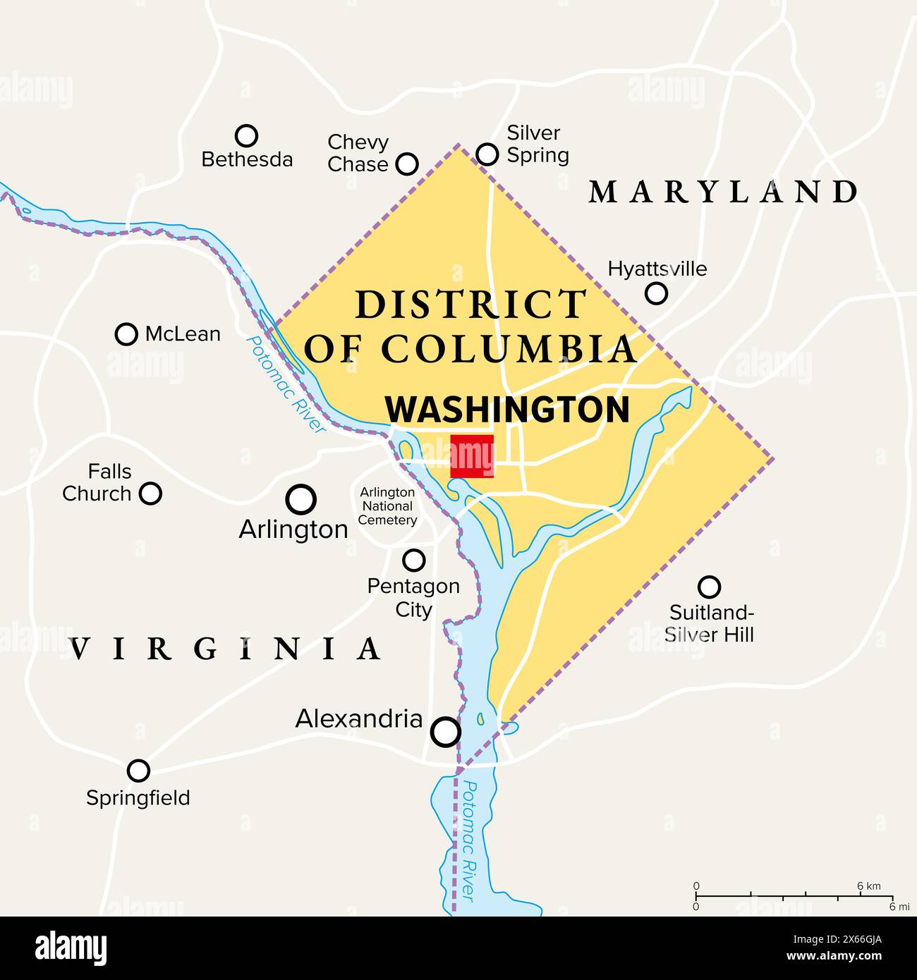
Washington, D.C., political map. District of Columbia, capital city and federal district of the United States. Located on the Potomac River.

RFID:Image ID:2X66GJA
Image details
Contributor:
Peter Hermes Furian / Alamy Stock PhotoImage ID:
2X66GJAFile size:
103 MB (983.3 KB Compressed download)Releases:
Model - no | Property - noDo I need a release?Dimensions:
6000 x 6000 px | 50.8 x 50.8 cm | 20 x 20 inches | 300dpiDate taken:
12 May 2024Location:
Washington DCMore information:
Washington, D.C., political map. District of Columbia, capital city and federal district of the United States. Located on the Potomac River, across from Virginia, sharing land borders with Maryland.