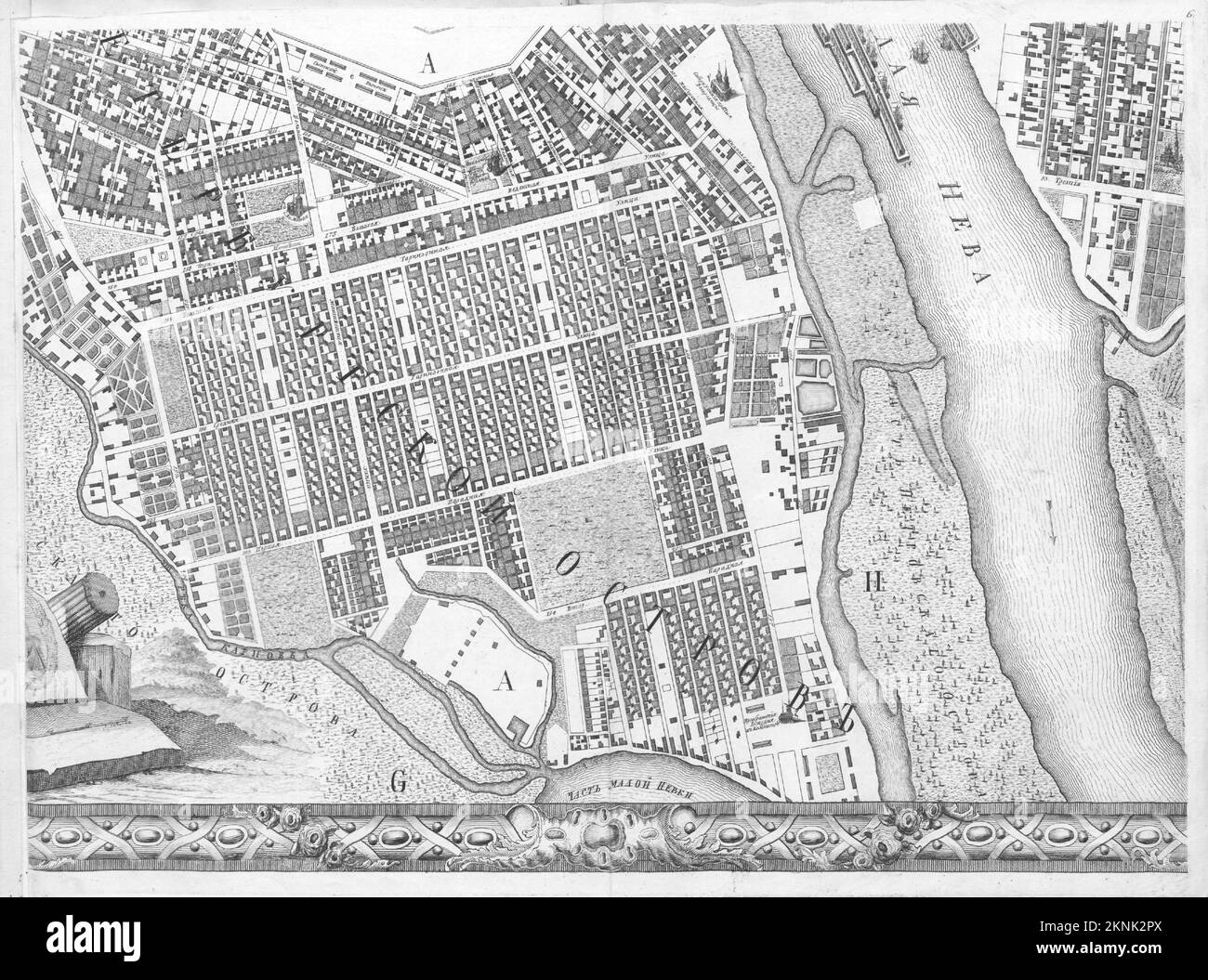
Vintage city plan of Saint Petersburg and area around it from 18th century. Maps are beautifully hand illustrated and engraved showing it at the time.
RFID:Image ID:2KNK2PX
Image details
Contributor:
Dragan Jelic / Alamy Stock PhotoImage ID:
2KNK2PXFile size:
58.6 MB (3.7 MB Compressed download)Releases:
Model - no | Property - noDo I need a release?Dimensions:
5250 x 3900 px | 44.5 x 33 cm | 17.5 x 13 inches | 300dpiMore information:
This image could have imperfections as it’s either historical or reportage.