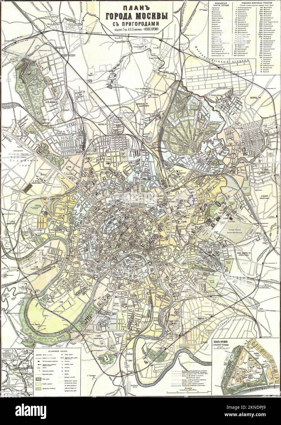
Vintage city plan of Moscow and area around it from 17-19th century. Maps are beautifully hand illustrated and engraved showing it at the time.
RFID:Image ID:2KNDPJ9
Image details
Contributor:
Dragan Jelic / Alamy Stock PhotoImage ID:
2KNDPJ9File size:
49.8 MB (5.5 MB Compressed download)Releases:
Model - no | Property - noDo I need a release?Dimensions:
3508 x 4961 px | 29.7 x 42 cm | 11.7 x 16.5 inches | 300dpiDate taken:
8 September 2011More information:
This image could have imperfections as it’s either historical or reportage.