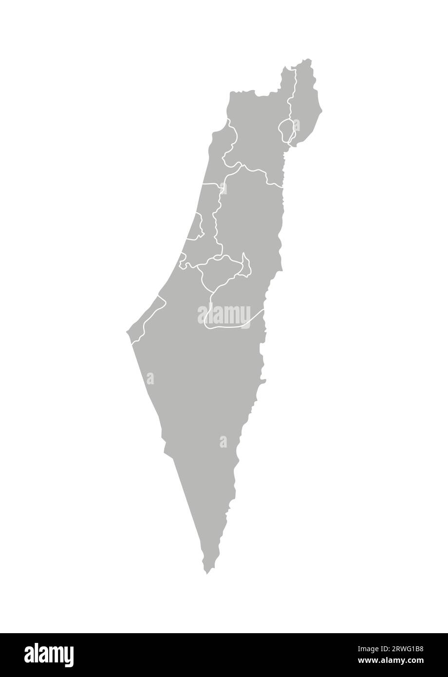
Vector isolated illustration of simplified administrative map of Israel. Borders of the districts (regions). Grey silhouettes. White outline.
RFID:Image ID:2RWG1B8
Image details
Contributor:
Mupi Tupi / Alamy Stock VectorImage ID:
2RWG1B8Releases:
Model - no | Property - noDo I need a release?Date created:
8 July 2019