···
Vector Illustration with African continent with borders of all states and marked country Namibia. Political map in brown colors with western, south an Image details Date created:
19 January 2024
More information:
Vector Illustration with African continent with borders of all states and marked country Namibia. Political map in brown colors with western, south and etc regions. Beige background
Search stock photos by tags
Similar stock vectors Vector Illustration with African continent with borders of all states and marked country Zambia. Political map in brown colors with western, south and Stock Vector https://www.alamy.com/licenses-and-pricing/?v=1 https://www.alamy.com/vector-illustration-with-african-continent-with-borders-of-all-states-and-marked-country-zambia-political-map-in-brown-colors-with-western-south-and-image601737742.html RF 2WXYEHJ – Vector Illustration with African continent with borders of all states and marked country Zambia. Political map in brown colors with western, south and Map of Arfica continent. Simple black wireframe outline with national borders on white background. Vector illustration. Stock Vector https://www.alamy.com/licenses-and-pricing/?v=1 https://www.alamy.com/map-of-arfica-continent-simple-black-wireframe-outline-with-national-borders-on-white-background-vector-illustration-image360274537.html RF 2BX3WRN – Map of Arfica continent. Simple black wireframe outline with national borders on white background. Vector illustration. Vectro africa map. Detailed africa map with borders of states isolated on white background vector illustration. Stock Vector https://www.alamy.com/licenses-and-pricing/?v=1 https://www.alamy.com/vectro-africa-map-detailed-africa-map-with-borders-of-states-isolated-on-white-background-vector-illustration-image387267953.html RF 2DE1G69 – Vectro africa map. Detailed africa map with borders of states isolated on white background vector illustration. vector part of world map with region of south african countries mixed with their national flags Stock Vector https://www.alamy.com/licenses-and-pricing/?v=1 https://www.alamy.com/vector-part-of-world-map-with-region-of-south-african-countries-mixed-with-their-national-flags-image330866064.html RF 2A68714 – vector part of world map with region of south african countries mixed with their national flags Angola official national flag, african country, vector illustration Stock Vector https://www.alamy.com/licenses-and-pricing/?v=1 https://www.alamy.com/angola-official-national-flag-african-country-vector-illustration-image418204483.html RF 2F8AT2B – Angola official national flag, african country, vector illustration vector part of world map with west asian, east european, arabic and north african countries mixed with their national flags Stock Vector https://www.alamy.com/licenses-and-pricing/?v=1 https://www.alamy.com/vector-part-of-world-map-with-west-asian-east-european-arabic-and-north-african-countries-mixed-with-their-national-flags-image330869238.html RF 2A68B2E – vector part of world map with west asian, east european, arabic and north african countries mixed with their national flags Mozambique, official national waving flag, african country, vector illustration Stock Vector https://www.alamy.com/licenses-and-pricing/?v=1 https://www.alamy.com/mozambique-official-national-waving-flag-african-country-vector-illustration-image607985613.html RF 2X943RW – Mozambique, official national waving flag, african country, vector illustration Central African Republic outline silhouette map illustration with prefectures Stock Vector https://www.alamy.com/licenses-and-pricing/?v=1 https://www.alamy.com/stock-photo-central-african-republic-outline-silhouette-map-illustration-with-137457694.html RF HYHMKA – Central African Republic outline silhouette map illustration with prefectures Eritrea, official national waving flag, african country, vector illustration Stock Vector https://www.alamy.com/licenses-and-pricing/?v=1 https://www.alamy.com/eritrea-official-national-waving-flag-african-country-vector-illustration-image607556043.html RF 2X8CFX3 – Eritrea, official national waving flag, african country, vector illustration Simple (only sharp corners) map of South Africa vector drawing. Mercator projection. Filled and outline version. Stock Vector https://www.alamy.com/licenses-and-pricing/?v=1 https://www.alamy.com/simple-only-sharp-corners-map-of-south-africa-vector-drawing-mercator-projection-filled-and-outline-version-image228639944.html RF R7YCG8 – Simple (only sharp corners) map of South Africa vector drawing. Mercator projection. Filled and outline version. Congo Democratic Republic official national flag, african country, vector illustration Stock Vector https://www.alamy.com/licenses-and-pricing/?v=1 https://www.alamy.com/congo-democratic-republic-official-national-flag-african-country-vector-illustration-image426062682.html RF 2FN4R8A – Congo Democratic Republic official national flag, african country, vector illustration Political Map of Africa continent. English labeled countries names and Africa region borders vector illustration Stock Vector https://www.alamy.com/licenses-and-pricing/?v=1 https://www.alamy.com/political-map-of-africa-continent-english-labeled-countries-names-and-africa-region-borders-vector-illustration-image565656122.html RF 2RT7T4A – Political Map of Africa continent. English labeled countries names and Africa region borders vector illustration Benin flag, africa, vector illustration Stock Vector https://www.alamy.com/licenses-and-pricing/?v=1 https://www.alamy.com/benin-flag-africa-vector-illustration-image220708953.html RF PR24EH – Benin flag, africa, vector illustration 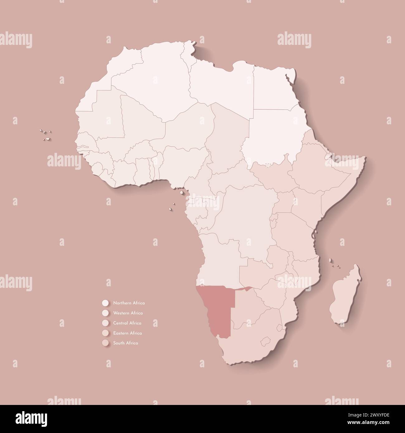