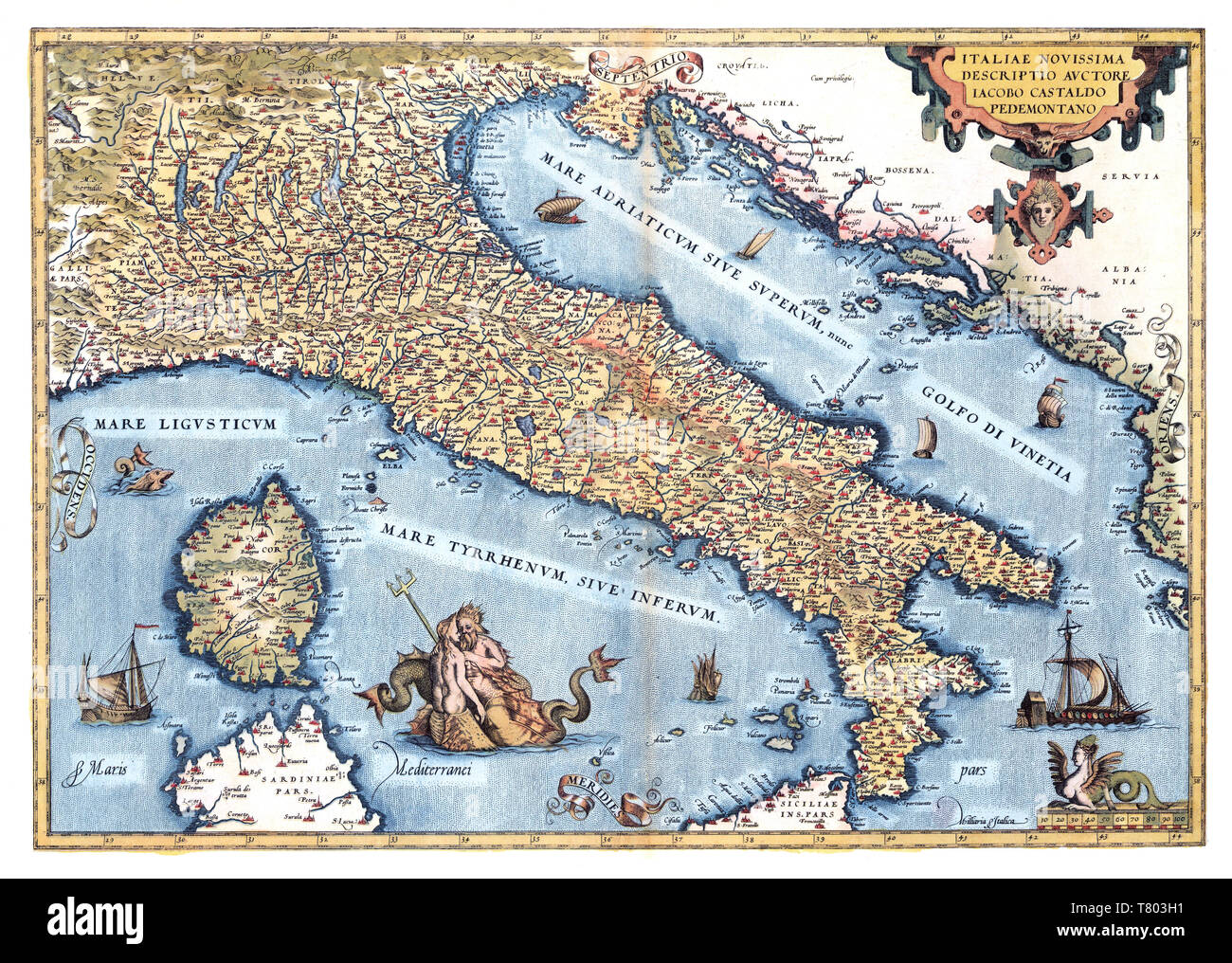
Theatrum Orbis Terrarum, Italy, 1570
Image details
Contributor:
Science History Images / Alamy Stock PhotoImage ID:
T803H1File size:
38.6 MB (4.9 MB Compressed download)Releases:
Model - no | Property - noDo I need a release?Dimensions:
4350 x 3101 px | 36.8 x 26.3 cm | 14.5 x 10.3 inches | 300dpiDate taken:
6 March 2018Photographer:
Science History ImagesMore information:
This image could have imperfections as it’s either historical or reportage.
Italia. Italien. Italy. Theatrum Orbis Terrarum (Theatre of the World) is considered to be the first true modern atlas. Written by Abraham Ortelius and originally printed on May 20, 1570, in Antwerp, it consisted of a collection of uniform map sheets and sustaining text bound to form a book for which copper printing plates were specifically engraved. The Ortelius atlas is sometimes referred to as the summary of 16th cartography and the first time that the entirety of Western European knowledge of the world was brought together in one book. Most of the maps were admittedly reproductions, and many discrepancies of delineation or nomenclature occur. From its original 70 maps and 87 bibliographic references in the first edition (1570), the atlas grew through its 31 editions to encompass 183 references and 167 maps in 1612.