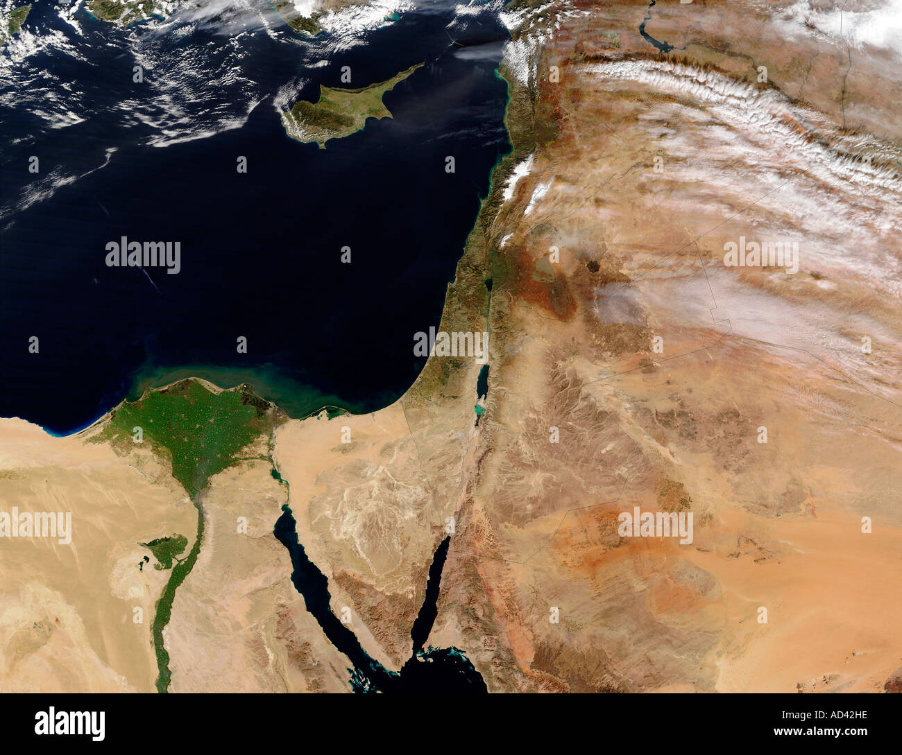
The Middle East, satellite image
RFID:Image ID:AD42HE
Image details
Contributor:
Stocktrek Images, Inc. / Alamy Stock PhotoImage ID:
AD42HEFile size:
48 MB (2.3 MB Compressed download)Releases:
Model - no | Property - noDo I need a release?Dimensions:
4671 x 3593 px | 39.5 x 30.4 cm | 15.6 x 12 inches | 300dpiPhotographer:
Stocktrek ImagesMore information:
Several large, thick plumes of desert dust (brownish pixels) were blowing from Egypt and Libya northward over the Mediterranean Sea, on January 12, 2003. The Greek island of Crete is partially obscured by the dust in the upper left of this scene. The island of Cyprus is in the upper right of this image, just to the east of the dust plume. Roughly in the center, the Nile Delta fans out in green against the surrounding desert. Southeast of the island of Cyprus, snow dusts the mountains in Lebanon. The image from January 6 shows clear skies over the region.