The Maritimes region of Eastern Canada, Maritime provinces gray political map
RFID:Image ID:2PW789D
Image details
Contributor:
Panther Media GmbH / Alamy Stock VectorImage ID:
2PW789DReleases:
Model - no | Property - noDo I need a release?Photographer:
PeterHermesFurianMore information:
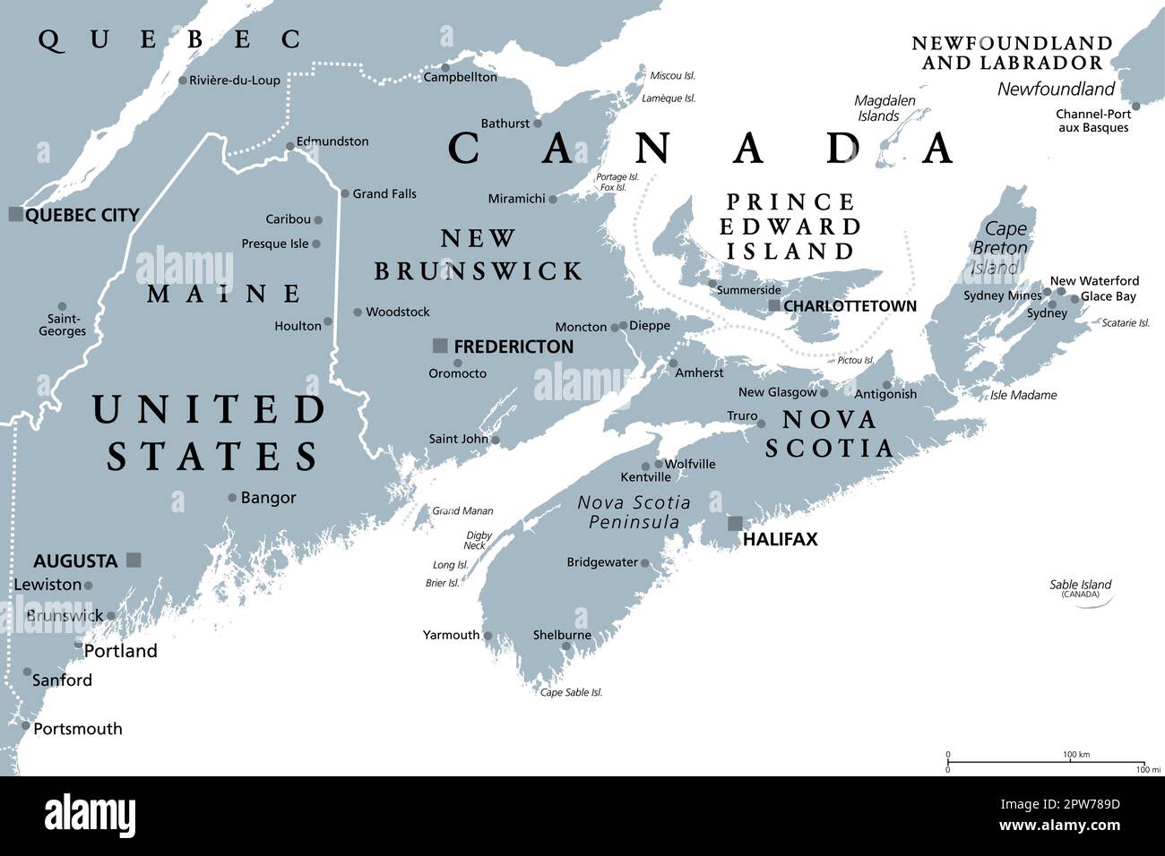
The Maritimes region of Eastern Canada, also called Maritime provinces, gray political map, with capitals, borders and large cities. The provinces New Brunswick, Nova Scotia, and Prince Edward Island.