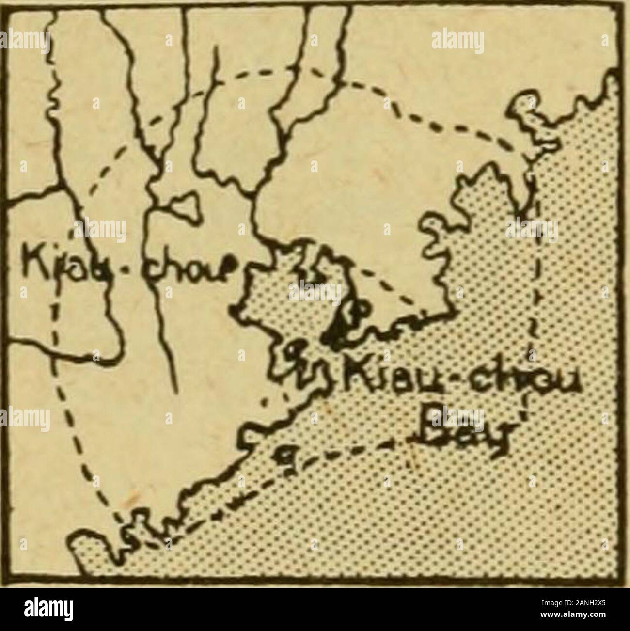
The international geography . the base ofthe western mountains of Shantung is now completed from Tsiiigtau tobeyond Wei{-hien). III.—REMOTE PROVINCES OF THE CHINESE EMPIRE Manchuria.—Manchuria lies to the north-east of China Proper, andis made up of three provinces, Shengking in the south, Kirin in the middle,and Helungkiang in the north. Shengking consists of the broad valleyof the lower Liau stretching upwards of 200 miles north-eastwards betweenbare mountains in the west and forest-clad mountains with fertile alluvialvalleys in the east. The southern portion of the main valley is a dreary s
Image details
Contributor:
The Reading Room / Alamy Stock PhotoImage ID:
2ANH2X5File size:
7.2 MB (252.6 KB Compressed download)Releases:
Model - no | Property - noDo I need a release?Dimensions:
1637 x 1527 px | 27.7 x 25.9 cm | 10.9 x 10.2 inches | 150dpiMore information:
This image is a public domain image, which means either that copyright has expired in the image or the copyright holder has waived their copyright. Alamy charges you a fee for access to the high resolution copy of the image.
This image could have imperfections as it’s either historical or reportage.
The international geography . the base ofthe western mountains of Shantung is now completed from Tsiiigtau tobeyond Wei{-hien). III.—REMOTE PROVINCES OF THE CHINESE EMPIRE Manchuria.—Manchuria lies to the north-east of China Proper, andis made up of three provinces, Shengking in the south, Kirin in the middle, and Helungkiang in the north. Shengking consists of the broad valleyof the lower Liau stretching upwards of 200 miles north-eastwards betweenbare mountains in the west and forest-clad mountains with fertile alluvialvalleys in the east. The southern portion of the main valley is a dreary salinetract, but there is more fertile country further north. Mukden, situated atthe base of the hills, on a tributary of the Liau-ho, is the capital of the pro-vince and country. At the mouth of the Liau is the so-called treaty-portof Niuchwang (Newchwang), the town of Niuchwang being situated some-what inland. The extremity of the mountainous peninsula of Liautung» By Captain Ernesto de Vasconcellos. By Graf von Pfeil.. The Chinese Empire 539 (East of the Liau ), called Kwantung, was leased to Russia; here are thenaval station and arsenal of Port A7thur, together with Talietiwan and thefree-port Dabii, all three being termini of the trans-Manchurian railway (seeFig. 222), and now in the occupation of Japan. The northern provinces lying to the east of the Khingan mountains arecomposed of the rich valleys of the Sungari, Nonni (a left bank tributaryof the Sungari) and Usuri, all navigable streams. The chief towns are Kirin(or more propefly Girin) at the head of navigation on the Sungari, andTsitsihar at that of the Nonni. The population of Manchuria is variouslyestimated at from 15 to 23 miUions, the great bulk being in the southernprovince. For many years there has been a steady stream of immigrationfrom China Proper, and Chinese now form the great mass of the popu-lation of the provinces. In recent years the flow of immigrants into thenorthern provinces has been peculiarl