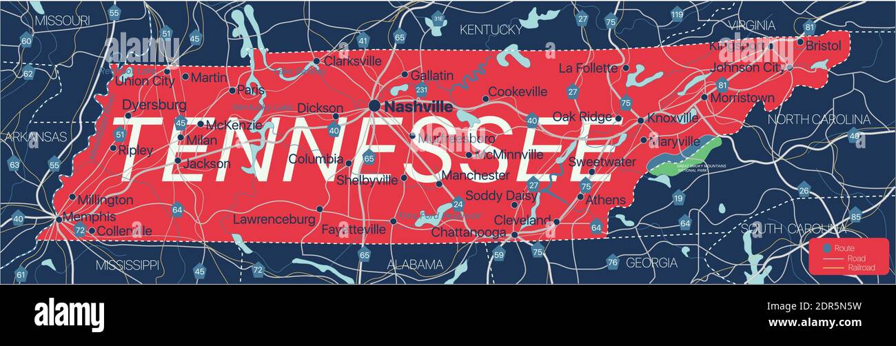
Tennesy state detailed editable map with cities and towns, geographic sites, roads, railways, interstates and U.S. highways. Vector EPS-10 file, trend
RFID:Image ID:2DR5N5W
Image details
Contributor:
Ruslan Olinchuk / Alamy Stock VectorImage ID:
2DR5N5WReleases:
Model - no | Property - noDo I need a release?Date created:
20 December 2020More information:
Tennesy state detailed editable map with cities and towns, geographic sites, roads, railways, interstates and U.S. highways. Vector EPS-10 file, trending color scheme