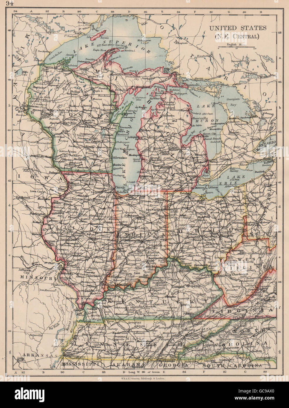
USA MID WEST. Wisconsin Michigan Illinois Ohio Indiana Kentucky TN, 1897 map
RFID:Image ID:GC9AX0
Image details
Contributor:
Antiqua Print Gallery / Alamy Stock PhotoImage ID:
GC9AX0File size:
21.9 MB (2.2 MB Compressed download)Releases:
Model - no | Property - noDo I need a release?Dimensions:
2405 x 3180 px | 20.4 x 26.9 cm | 8 x 10.6 inches | 300dpiDate taken:
1897Location:
USAMore information:
This image could have imperfections as it’s either historical or reportage.
'United States (N.E. Central)'. Artist/engraver/cartographer: W. & A.K. Johnston. Provenance: "The World Wide Atlas of Modern Geography Political and Physical"; by J. Scott Keltie; Published by W. & A. K. Johnston, London: 3rd Edition. Type: Antique colour map.