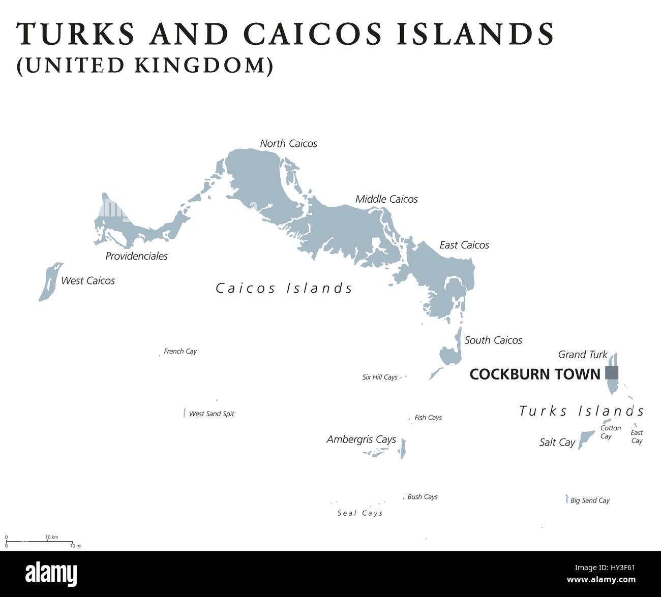
Turks And Caicos Islands political map with capital Cockburn Town. TCI, British Overseas Territory in the Lucayan Archipelago of Atlantic Ocean.
RFID:Image ID:HY3F61
Image details
Contributor:
Peter Hermes Furian / Alamy Stock PhotoImage ID:
HY3F61File size:
183.5 MB (1.3 MB Compressed download)Releases:
Model - no | Property - noDo I need a release?Dimensions:
8766 x 7317 px | 74.2 x 62 cm | 29.2 x 24.4 inches | 300dpiDate taken:
31 March 2017Location:
Turks and Caicos IslandsMore information:
Turks And Caicos Islands political map with capital Cockburn Town. TCI, British Overseas Territory in the Lucayan Archipelago of Atlantic Ocean. Gray illustration over white. English labeling.