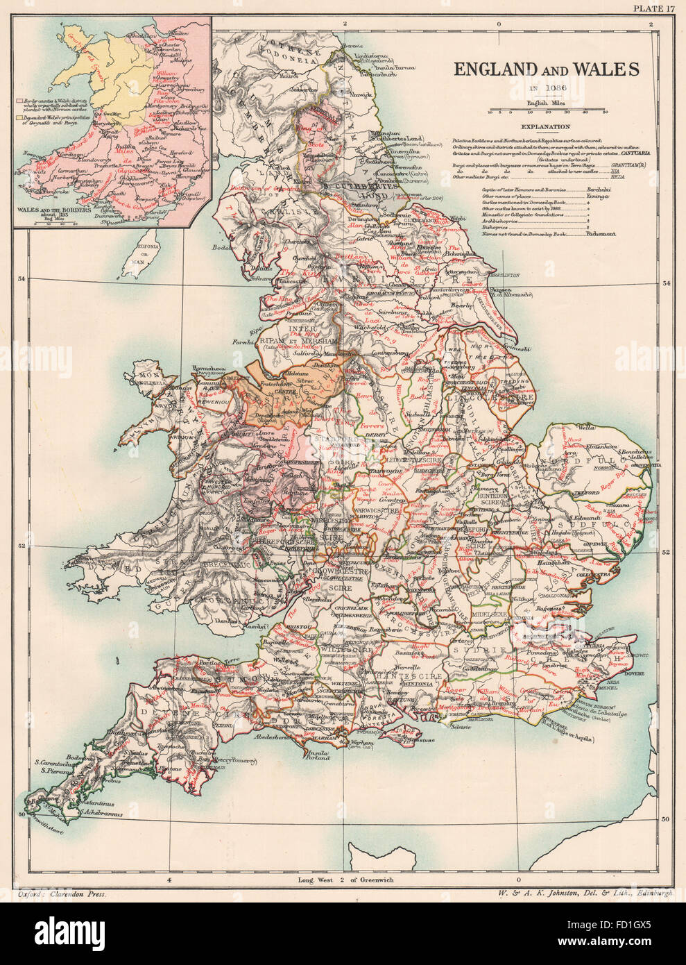
NORMAN BRITAIN 1086: England & Wales of Domesday book. Borders 1185, 1902 map
RFID:Image ID:FD1GX5
Image details
Contributor:
Antiqua Print Gallery / Alamy Stock PhotoImage ID:
FD1GX5File size:
33 MB (2.6 MB Compressed download)Releases:
Model - no | Property - noDo I need a release?Dimensions:
2962 x 3892 px | 25.1 x 33 cm | 9.9 x 13 inches | 300dpiDate taken:
1902Location:
Great BritainMore information:
This image could have imperfections as it’s either historical or reportage.
Artist/engraver/cartographer: Unsigned. Provenance: "Historical Atlas of Modern Europe"; Edited by Reginald Lane Poole, Published by Henry Frowde, London. Type: Antique colour map.