Morocco And Western Sahara Political Map
RFID:Image ID:DBP62T
Image details
Contributor:
Peter Hermes Furian / Alamy Stock PhotoImage ID:
DBP62TFile size:
193.9 MB (3.1 MB Compressed download)Releases:
Model - no | Property - noDo I need a release?Dimensions:
8436 x 8033 px | 71.4 x 68 cm | 28.1 x 26.8 inches | 300dpiMore information:
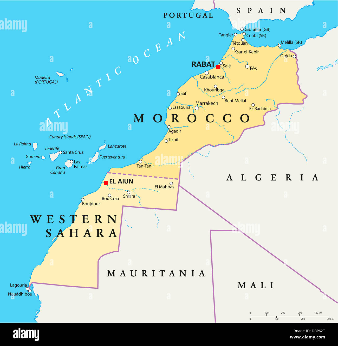
Political map of Morocco and Western Sahara with the capitals Rabat and El Aiun, with national borders, most important cities, rivers and lakes. Vector illustration with english labeling and scale.