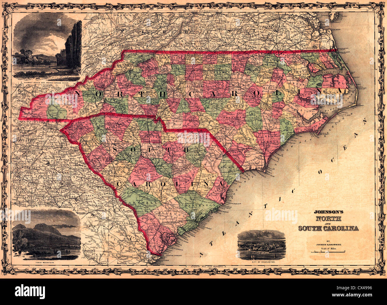
Map of North and South Carolina, USA, 1861
RMID:Image ID:CX4996
Image details
Contributor:
Niday Picture Library / Alamy Stock PhotoImage ID:
CX4996File size:
69.3 MB (9.1 MB Compressed download)Releases:
Model - no | Property - noDo I need a release?Dimensions:
5800 x 4179 px | 49.1 x 35.4 cm | 19.3 x 13.9 inches | 300dpiMore information:
This image could have imperfections as it’s either historical or reportage.