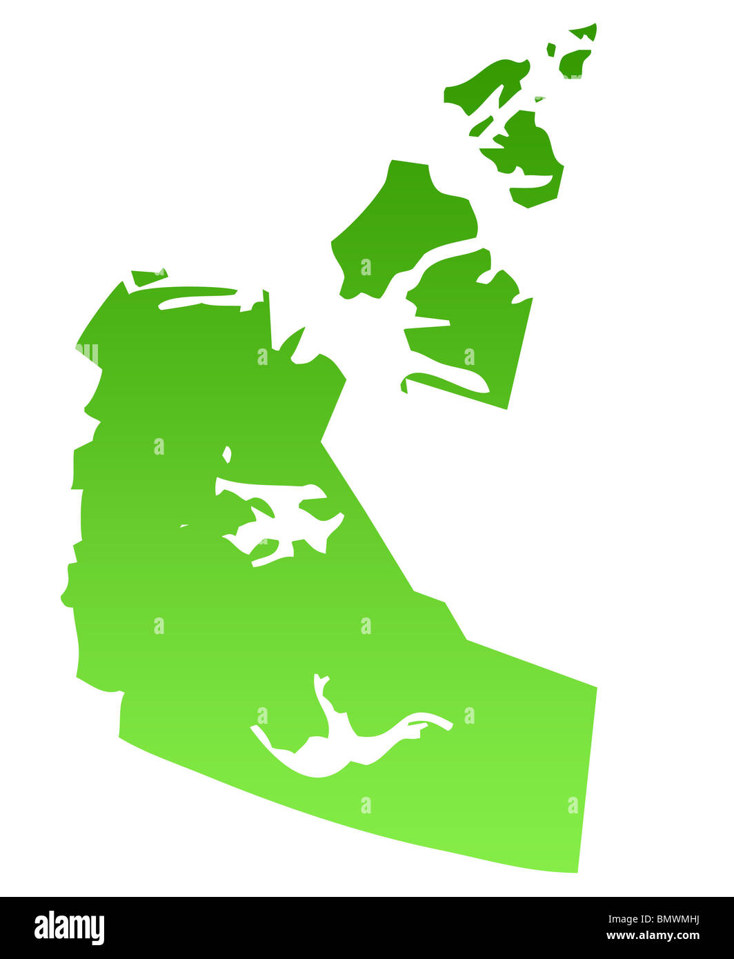
Map of Canadian province of Northest territories in green, isolated on white background.
RMID:Image ID:BMWMHJ
Image details
Contributor:
Lifestyle pictures / Alamy Stock PhotoImage ID:
BMWMHJFile size:
27.5 MB (374.9 KB Compressed download)Releases:
Model - no | Property - noDo I need a release?Dimensions:
2806 x 3427 px | 23.8 x 29 cm | 9.4 x 11.4 inches | 300dpi