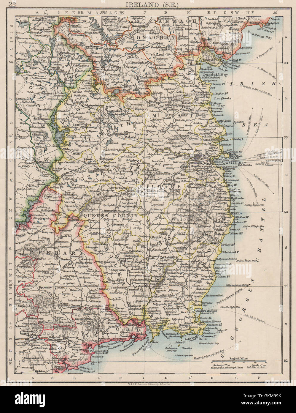
LEINSTER. Meath Dublin Longford Wexford Wicklow. SE Ireland. JOHNSTON 1900 map
RFID:Image ID:GKM99K
Image details
Contributor:
Antiqua Print Gallery / Alamy Stock PhotoImage ID:
GKM99KFile size:
22.1 MB (2 MB Compressed download)Releases:
Model - no | Property - noDo I need a release?Dimensions:
2439 x 3174 px | 20.7 x 26.9 cm | 8.1 x 10.6 inches | 300dpiDate taken:
1900Location:
IrelandMore information:
This image could have imperfections as it’s either historical or reportage.
'Ireland (S.E.)'. Artist/engraver/cartographer: W. & A.K. Johnston, Limited, Edinburgh & London. Provenance: "The World-Wide Atlas of Modern Geography"; by J. Scott Keltie; published by W. & A.K. Johnston, London: 5th Edition. Type: Antique colour map.