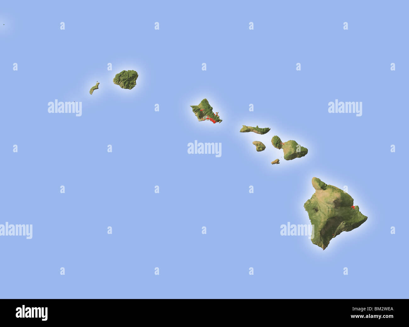
Hawaii, shaded relief map.
RFID:Image ID:BM2WEA
Image details
Contributor:
Michael Schmeling / Alamy Stock PhotoImage ID:
BM2WEAFile size:
75.3 MB (850.4 KB Compressed download)Releases:
Model - no | Property - noDo I need a release?Dimensions:
6000 x 4388 px | 50.8 x 37.2 cm | 20 x 14.6 inches | 300dpiDate taken:
20 May 2009More information:
Hawaii, shaded relief map. Colored according to natural appearance, with major urban areas. Includes clip paths for the land areas. Projection: Mercator ; Geographic extents: W: -162.0; E: -154.0; S: 18.0; N: 23.5