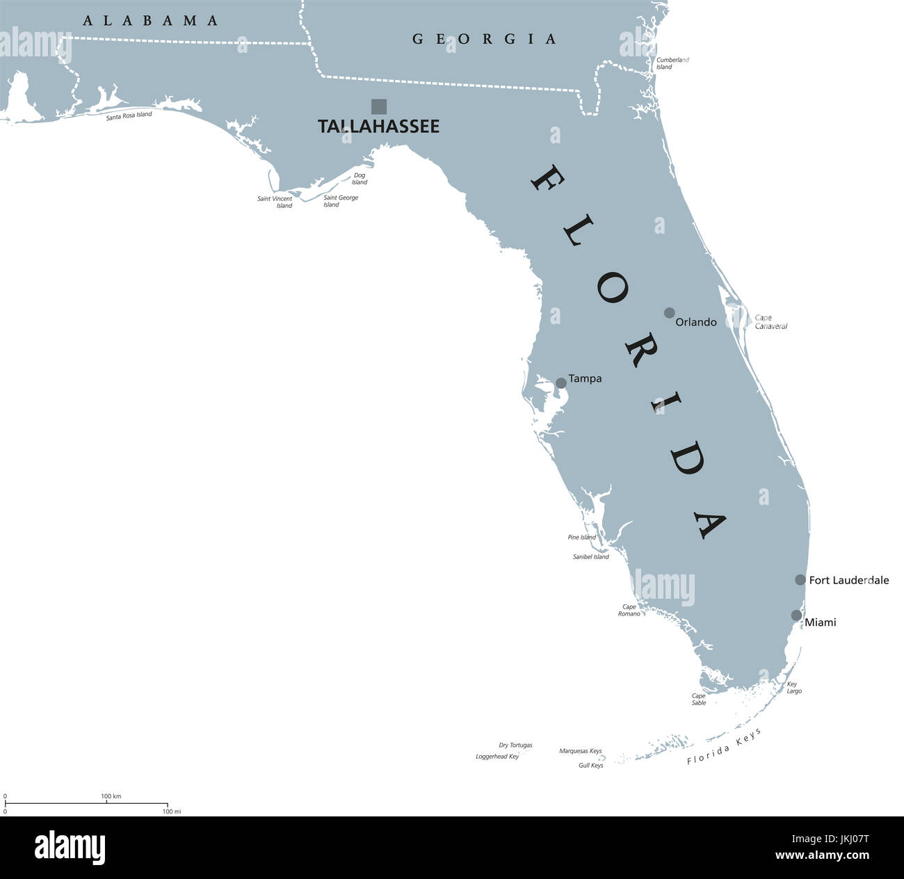
Florida political map with capital Tallahassee. State in the southeastern region of the United States, bordered by the Gulf of Mexico. Illustration.
RFID:Image ID:JKJ07T
Image details
Contributor:
Peter Hermes Furian / Alamy Stock PhotoImage ID:
JKJ07TFile size:
179.4 MB (1.2 MB Compressed download)Releases:
Model - no | Property - noDo I need a release?Dimensions:
8333 x 7526 px | 70.6 x 63.7 cm | 27.8 x 25.1 inches | 300dpiDate taken:
23 July 2017Location:
Florida, USAMore information:
Florida political map with capital Tallahassee. State in the southeastern region of the United States, bordered by the Gulf of Mexico. Gray illustration on white background. English labeling.