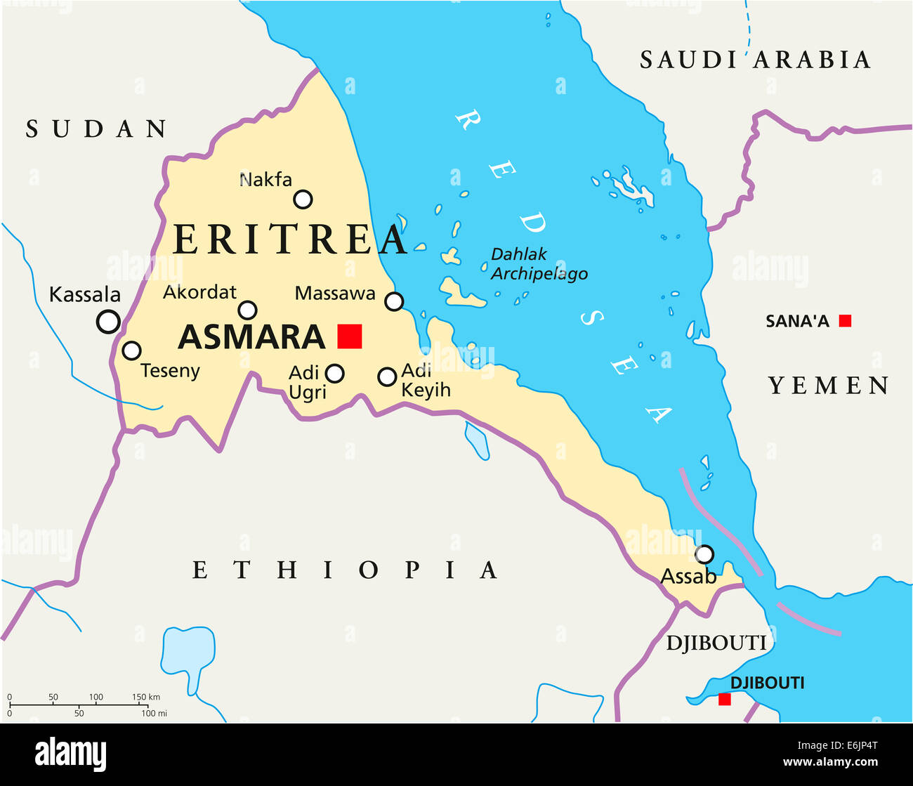
Eritrea Political Map with capital Asmara, national borders, most important cities, rivers and lakes. English labeling.
RFID:Image ID:E6JP4T
Image details
Contributor:
Peter Hermes Furian / Alamy Stock PhotoImage ID:
E6JP4TFile size:
130 MB (1.4 MB Compressed download)Releases:
Model - no | Property - noDo I need a release?Dimensions:
7574 x 6000 px | 64.1 x 50.8 cm | 25.2 x 20 inches | 300dpiDate taken:
25 August 2014Location:
Eritrea