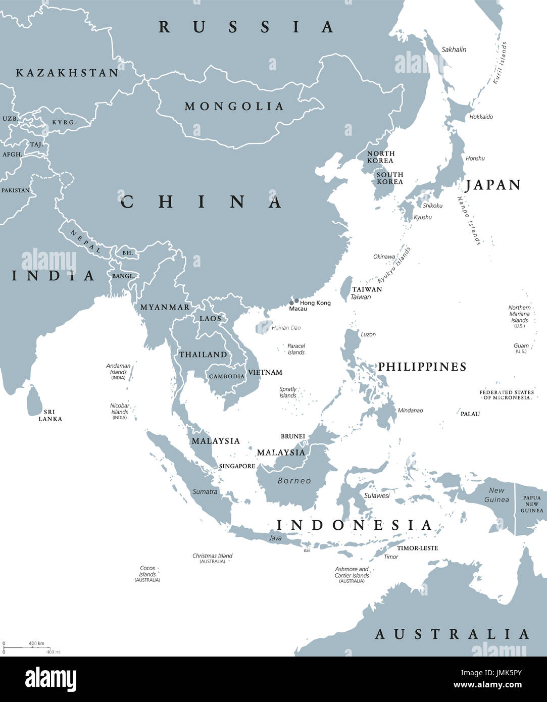
East Asia political map with countries and borders. Eastern subregion of the Asian continent with China, Japan, Mongolia and Indonesia. English.
RFID:Image ID:JMK5PY
Image details
Contributor:
Peter Hermes Furian / Alamy Stock PhotoImage ID:
JMK5PYFile size:
183.2 MB (1.8 MB Compressed download)Releases:
Model - no | Property - noDo I need a release?Dimensions:
7303 x 8766 px | 61.8 x 74.2 cm | 24.3 x 29.2 inches | 300dpiDate taken:
27 July 2017Location:
East AsiaMore information:
East Asia political map with countries and borders. Eastern subregion of the Asian continent with China, Japan, Mongolia and Indonesia. English labeling. Gray illustration on white background.