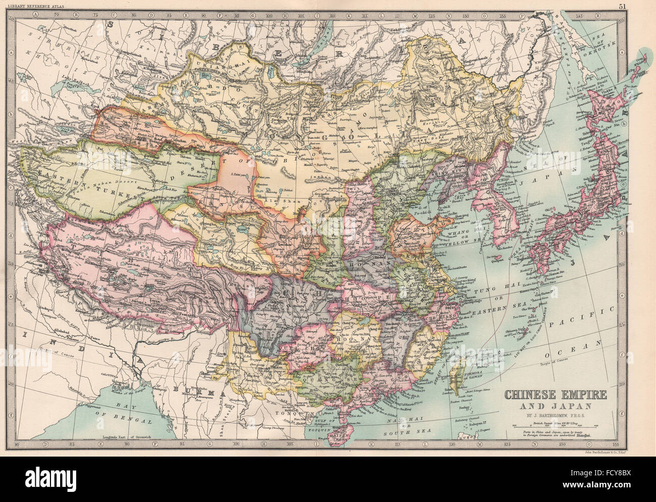
EAST ASIA: Chinese Empire and Japan. Korea. BARTHOLOMEW, 1890 antique map
RFID:Image ID:FCY8BX
Image details
Contributor:
Antiqua Print Gallery / Alamy Stock PhotoImage ID:
FCY8BXFile size:
51.6 MB (4.6 MB Compressed download)Releases:
Model - no | Property - noDo I need a release?Dimensions:
5088 x 3543 px | 43.1 x 30 cm | 17 x 11.8 inches | 300dpiDate taken:
1890Location:
AsiaMore information:
This image could have imperfections as it’s either historical or reportage.
Artist/engraver/cartographer: John Bartholomew . Provenance: "The Library reference Atlas of the World"; by John Bartholomew, Published by Macmillan and Co., & New York, London. Type: Antique colour map.