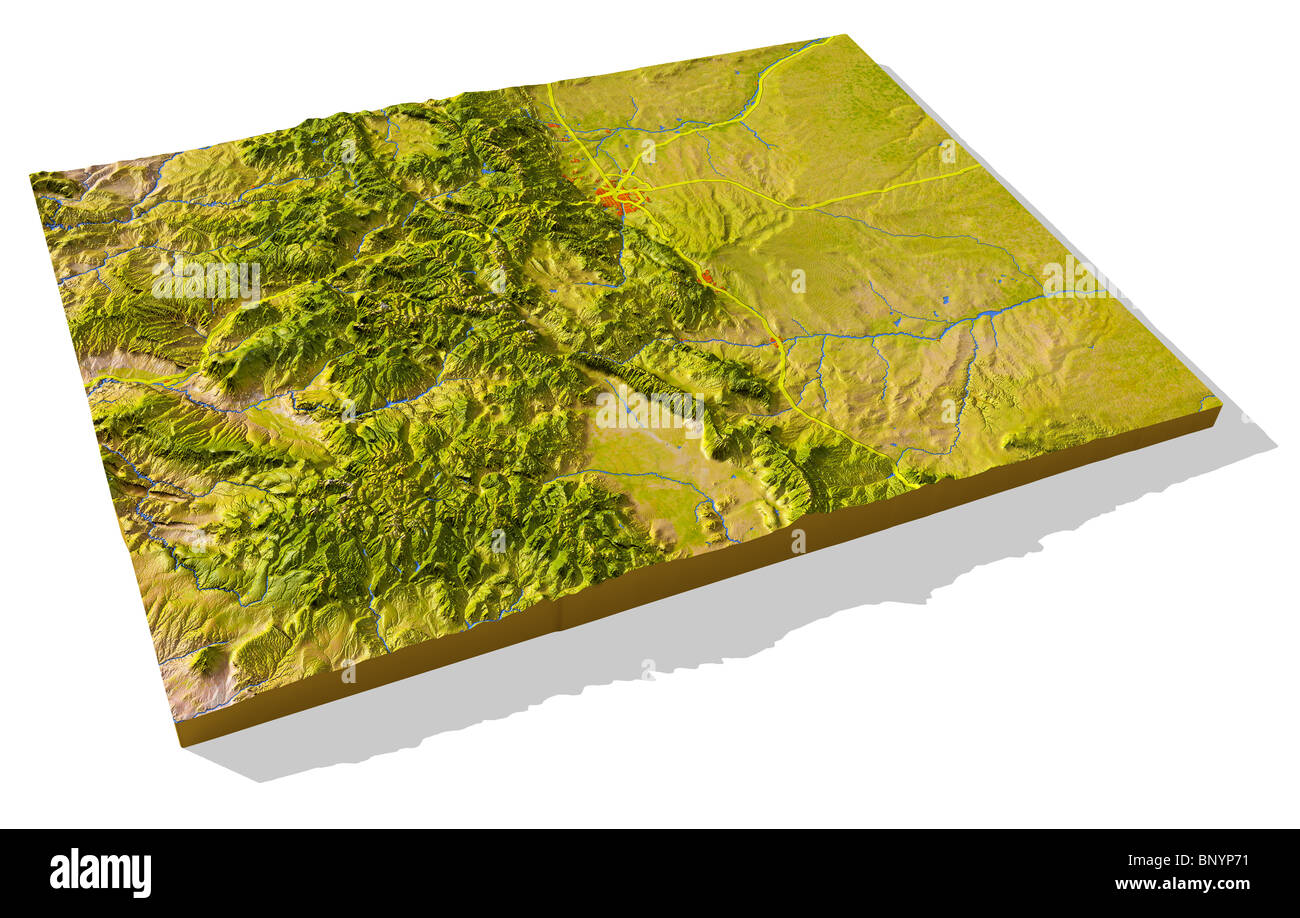
Colorado, 3D relief map cut-out with urban areas and interstate highways.
RMID:Image ID:BNYP71
Image details
Contributor:
Michael Schmeling / Alamy Stock PhotoImage ID:
BNYP71File size:
168.7 MB (9.4 MB Compressed download)Releases:
Model - no | Property - noDo I need a release?Dimensions:
9616 x 6132 px | 81.4 x 51.9 cm | 32.1 x 20.4 inches | 300dpiDate taken:
7 August 2010More information:
Colorado, 3D relief map cut-out with urban areas and interstate highways. Colored according to vegetation. Includes clip path for the background. Projection: Mercator ; Geographic extents: W: -110.0; E: -101.5; S: 36.0; N: 42.0