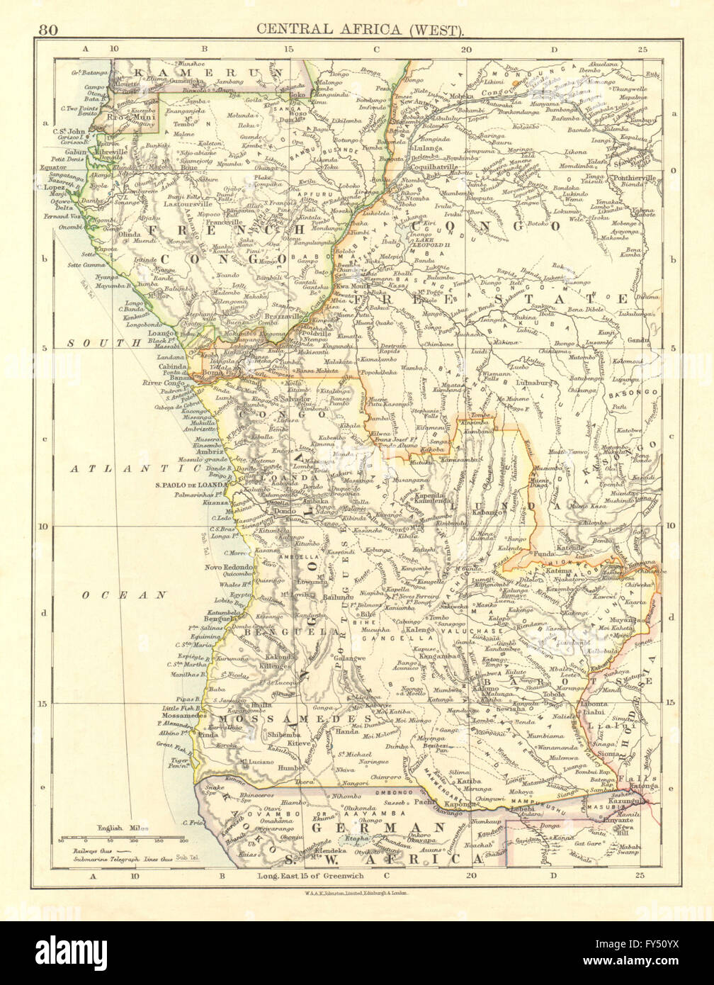
COLONIAL CENTRAL AFRICA. French Congo Free State Angola. JOHNSTON, 1906 map
RFID:Image ID:FY50YX
Image details
Contributor:
Antiqua Print Gallery / Alamy Stock PhotoImage ID:
FY50YXFile size:
25.1 MB (1.5 MB Compressed download)Releases:
Model - no | Property - noDo I need a release?Dimensions:
2610 x 3365 px | 22.1 x 28.5 cm | 8.7 x 11.2 inches | 300dpiDate taken:
1906Location:
Central AfricaMore information:
This image could have imperfections as it’s either historical or reportage.
'Central Africa, West'. Artist/engraver/cartographer: W & AK Johnston . Provenance: "The World Wide Atlas of Modern Geography Political and Physical"; by J. Scott Keltie; Published by W. & A. K. Johnston, Edinburgh & London. 7th Edition. Type: Colour antique map.