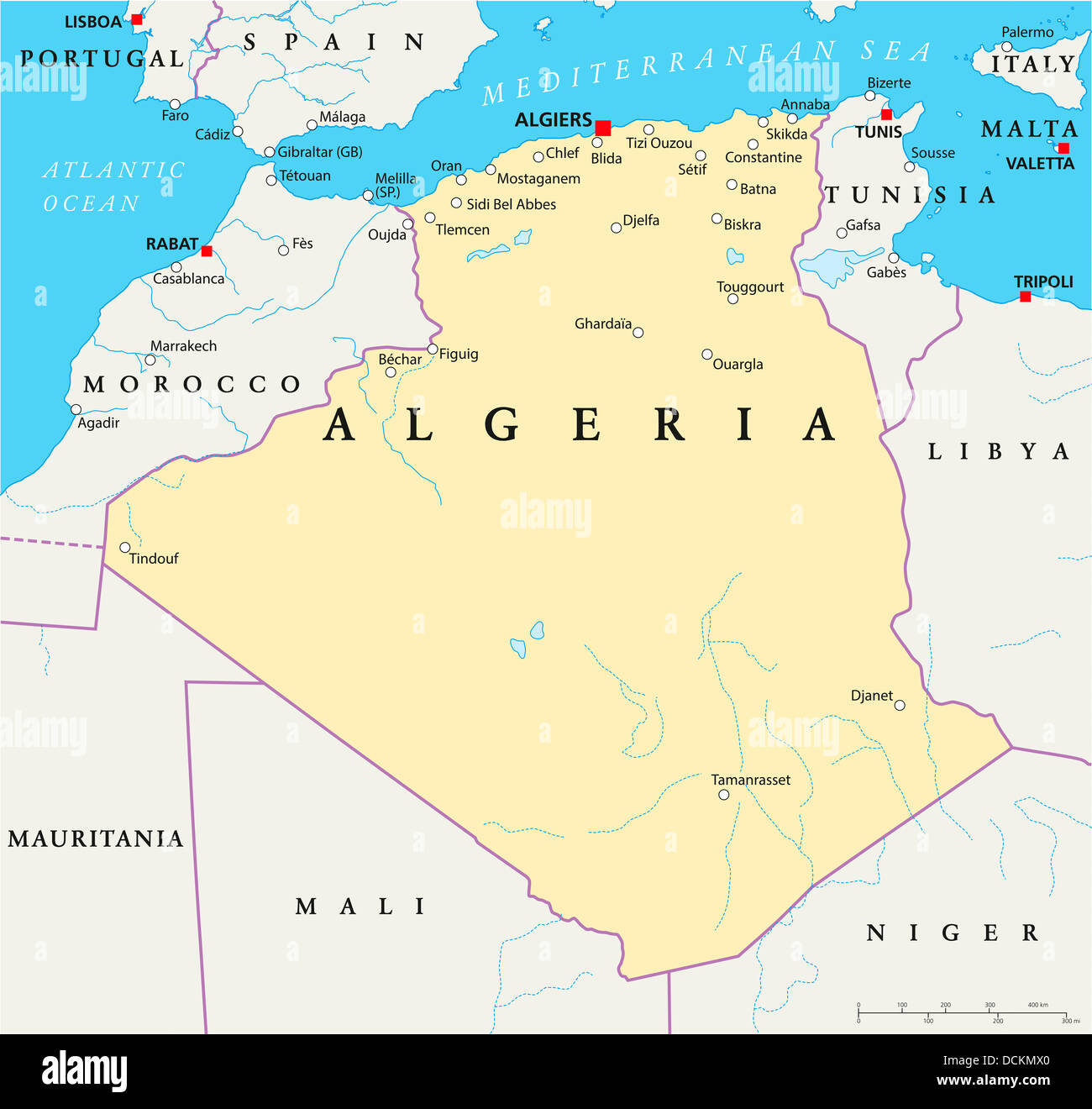
Algeria Political Map
RFID:Image ID:DCKMX0
Image details
Contributor:
Peter Hermes Furian / Alamy Stock PhotoImage ID:
DCKMX0File size:
195.7 MB (3.5 MB Compressed download)Releases:
Model - no | Property - noDo I need a release?Dimensions:
8500 x 8047 px | 72 x 68.1 cm | 28.3 x 26.8 inches | 300dpiMore information:
Political map of Algeria with the capital Algiers, national borders, most important cities, rivers and lakes. Illustration with english labeling and scale.