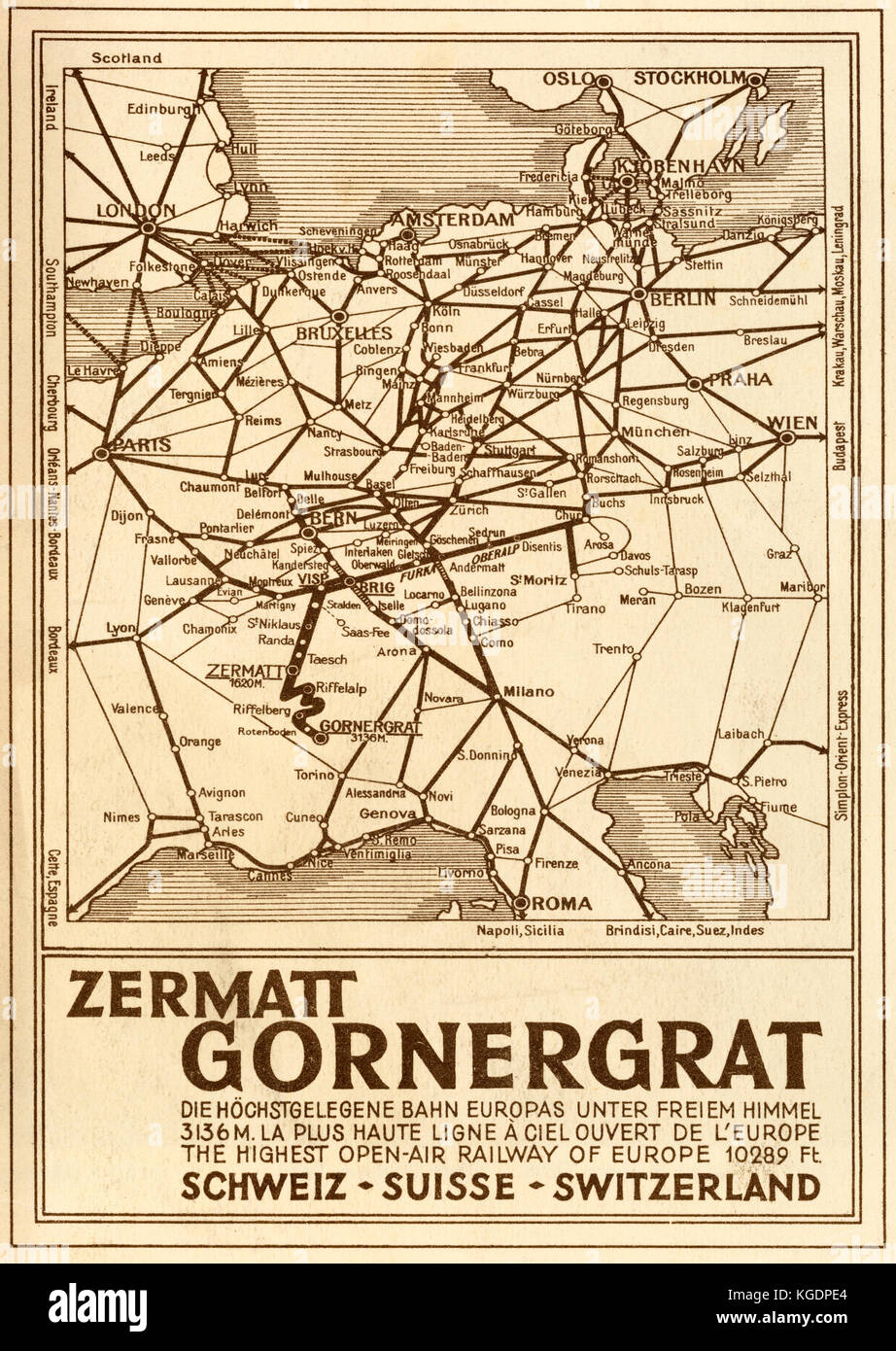
Railway map of Europe on the back of the 1929 printed guide for the Zermatt-Gornergrat Railway at Brigue, Switzerland. The guide states the Zermatt-
RMID:Image ID:KGDPE4
Image details
Contributor:
Todd Strand / Alamy Stock PhotoImage ID:
KGDPE4File size:
42.2 MB (2.8 MB Compressed download)Releases:
Model - no | Property - noDo I need a release?Dimensions:
3236 x 4558 px | 27.4 x 38.6 cm | 10.8 x 15.2 inches | 300dpiDate taken:
31 July 2017Location:
Zermatt, SwitzerlandMore information:
Railway map of Europe on the back of the 1929 printed guide for the Zermatt-Gornergrat Railway at Brigue, Switzerland. The guide states the Zermatt-Gornergrat Railway is the highest open-air railway of Europe at 10, 289 feet.