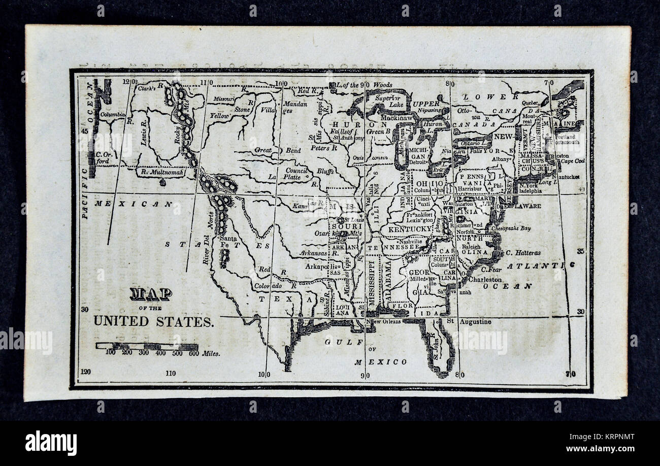
1830 Nathan Hale Map of the United States of America showing 24 States and the Western Missouri Territory
RFID:Image ID:KRPNMT
Image details
Contributor:
Lake Erie Maps and Prints / Alamy Stock PhotoImage ID:
KRPNMTFile size:
21.4 MB (1.6 MB Compressed download)Releases:
Model - no | Property - noDo I need a release?Dimensions:
3429 x 2186 px | 29 x 18.5 cm | 11.4 x 7.3 inches | 300dpiDate taken:
17 December 2017More information:
This image could have imperfections as it’s either historical or reportage.
Nathan Hale was the nephew of the Boston Patriot, whom he was named after. He was an important mapmaker from Boston know for his his larger maps of New England which were considered the most accurate of the era. These maps are from his atlas, "An Epitome of Universal Geography, " published in Boston in 1830.