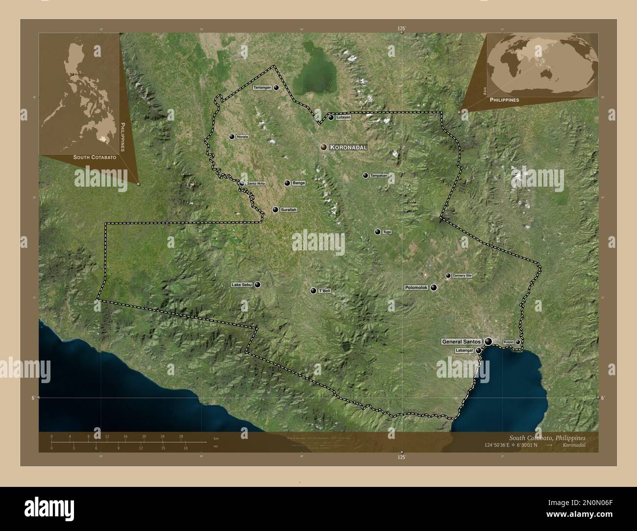
South Cotabato, province of Philippines. Low resolution satellite map. Locations and names of major cities of the region. Corner auxiliary location ma
RFID:Image ID:2N0N06F
Image details
Contributor:
Yarr65 / Alamy Stock PhotoImage ID:
2N0N06FFile size:
101.2 MB (3.2 MB Compressed download)Releases:
Model - no | Property - noDo I need a release?Dimensions:
6800 x 5200 px | 57.6 x 44 cm | 22.7 x 17.3 inches | 300dpiDate taken:
18 January 2023Location:
PhillippinesMore information:
South Cotabato, province of Philippines. Low resolution satellite map. Locations and names of major cities of the region. Corner auxiliary location maps