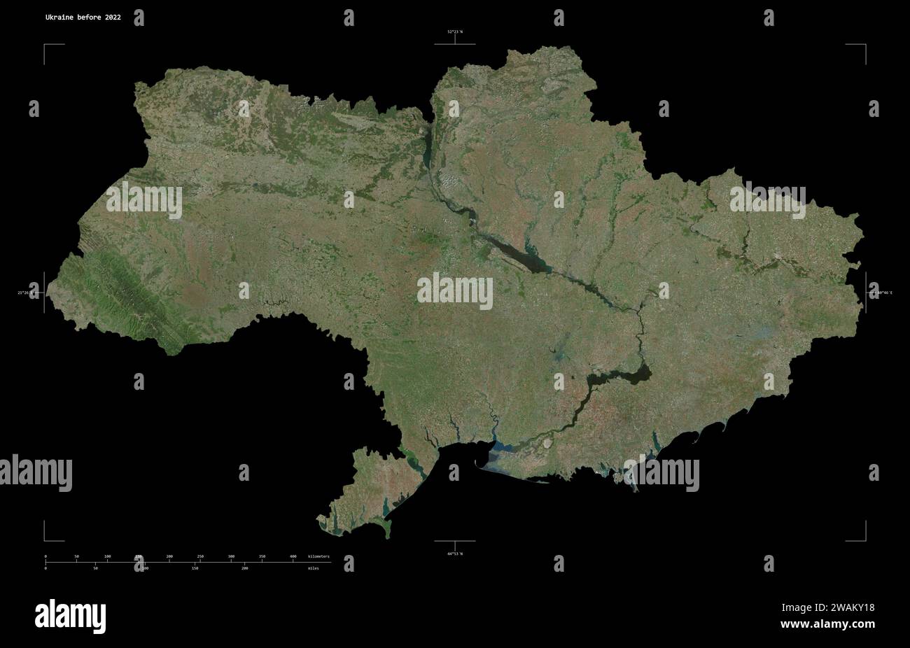
Shape of a high resolution satellite map of the Ukraine before 2022, with distance scale and map border coordinates, isolated on black
RFID:Image ID:2WAKY18
Image details
Contributor:
zelwanka / Alamy Stock PhotoImage ID:
2WAKY18File size:
65.8 MB (2.1 MB Compressed download)Releases:
Model - no | Property - noDo I need a release?Dimensions:
5981 x 3847 px | 50.6 x 32.6 cm | 19.9 x 12.8 inches | 300dpiLocation:
Ukraine