···
Providence County, State of Rhode Island and Providence Plantations (U.S. county, United States of America, USA, U.S., US) map vector illustration, sc Image details Contributor:
Danler / Alamy Stock Vector
More information:
Providence County, State of Rhode Island and Providence Plantations (U.S. county, United States of America, USA, U.S., US) map vector illustration, scribble sketch Providence map
Search stock photos by tags
Similar stock vectors rhode island county and city vector map Stock Vector https://www.alamy.com/licenses-and-pricing/?v=1 https://www.alamy.com/stock-photo-rhode-island-county-and-city-vector-map-174406860.html RF M3MWMC – rhode island county and city vector map Rhode Island counties vector map outline with USA map colors national flag Stock Vector https://www.alamy.com/licenses-and-pricing/?v=1 https://www.alamy.com/rhode-island-counties-vector-map-outline-with-usa-map-colors-national-flag-image407221382.html RF 2EJEF0P – Rhode Island counties vector map outline with USA map colors national flag Set of vector icons. Flags and seals of New Hampshire and New Jersey states, USA. 3D illustration. Stock Vector https://www.alamy.com/licenses-and-pricing/?v=1 https://www.alamy.com/set-of-vector-icons-flags-and-seals-of-new-hampshire-and-new-jersey-states-usa-3d-illustration-image241309154.html RF T0GG82 – Set of vector icons. Flags and seals of New Hampshire and New Jersey states, USA. 3D illustration. Rhode Island maps vector outline counties, townships, regions, municipalities, departments, borders Stock Vector https://www.alamy.com/licenses-and-pricing/?v=1 https://www.alamy.com/rhode-island-maps-vector-outline-counties-townships-regions-municipalities-departments-borders-image358302412.html RF 2BPX2AM – Rhode Island maps vector outline counties, townships, regions, municipalities, departments, borders 13 of 50 states of the United States, divided into counties with territory nicknames, Detailed vector Rhode Island Map with name and date admitted to Stock Vector https://www.alamy.com/licenses-and-pricing/?v=1 https://www.alamy.com/13-of-50-states-of-the-united-states-divided-into-counties-with-territory-nicknames-detailed-vector-rhode-island-map-with-name-and-date-admitted-to-image469088910.html RF 2J74RKA – 13 of 50 states of the United States, divided into counties with territory nicknames, Detailed vector Rhode Island Map with name and date admitted to Rhode Island state map, USA. Set of Rhode Island maps with outline border, counties and US states map. Black and white color vector illustration. Stock Vector https://www.alamy.com/licenses-and-pricing/?v=1 https://www.alamy.com/rhode-island-state-map-usa-set-of-rhode-island-maps-with-outline-border-counties-and-us-states-map-black-and-white-color-vector-illustration-image544925625.html RF 2PJFE5D – Rhode Island state map, USA. Set of Rhode Island maps with outline border, counties and US states map. Black and white color vector illustration. Set 2 of 5 Highly detailed vector silhouettes of USA state maps with names and territory nicknames Stock Vector https://www.alamy.com/licenses-and-pricing/?v=1 https://www.alamy.com/set-2-of-5-highly-detailed-vector-silhouettes-of-usa-state-maps-with-names-and-territory-nicknames-image468578972.html RF 2J69H78 – Set 2 of 5 Highly detailed vector silhouettes of USA state maps with names and territory nicknames Rhode island highlighted on USA political map. Gray background. Stock Vector https://www.alamy.com/licenses-and-pricing/?v=1 https://www.alamy.com/rhode-island-highlighted-on-usa-political-map-gray-background-image357620127.html RF 2BNR03B – Rhode island highlighted on USA political map. Gray background. Vector set 3 of 10 Highly detailed silhouettes of US state maps, divided into counties with names and territory nicknames Stock Vector https://www.alamy.com/licenses-and-pricing/?v=1 https://www.alamy.com/vector-set-3-of-10-highly-detailed-silhouettes-of-us-state-maps-divided-into-counties-with-names-and-territory-nicknames-image468917486.html RF 2J6W112 – Vector set 3 of 10 Highly detailed silhouettes of US state maps, divided into counties with names and territory nicknames Rhode island map shape, united states of america. Flat concept symbol vector illustration . Stock Vector https://www.alamy.com/licenses-and-pricing/?v=1 https://www.alamy.com/rhode-island-map-shape-united-states-of-america-flat-concept-symbol-vector-illustration-image504507901.html RF 2M8P8Y9 – Rhode island map shape, united states of america. Flat concept symbol vector illustration . Highly detailed vector silhouettes of US state maps, Division United States into counties, political and geographic subdivisions of a states, New Engl Stock Vector https://www.alamy.com/licenses-and-pricing/?v=1 https://www.alamy.com/highly-detailed-vector-silhouettes-of-us-state-maps-division-united-states-into-counties-political-and-geographic-subdivisions-of-a-states-new-engl-image468917351.html RF 2J6W0T7 – Highly detailed vector silhouettes of US state maps, Division United States into counties, political and geographic subdivisions of a states, New Engl Rhode Island state detailed editable map with cities and towns, geographic sites, roads, railways, interstates and U.S. highways. Vector EPS-10 file, Stock Vector https://www.alamy.com/licenses-and-pricing/?v=1 https://www.alamy.com/rhode-island-state-detailed-editable-map-with-cities-and-towns-geographic-sites-roads-railways-interstates-and-us-highways-vector-eps-10-file-image392890624.html RF 2DR5M00 – Rhode Island state detailed editable map with cities and towns, geographic sites, roads, railways, interstates and U.S. highways. Vector EPS-10 file, Set 2 of 5 Division United States into counties, political and geographic subdivisions of a states, Highly detailed vector maps with names and territo Stock Vector https://www.alamy.com/licenses-and-pricing/?v=1 https://www.alamy.com/set-2-of-5-division-united-states-into-counties-political-and-geographic-subdivisions-of-a-states-highly-detailed-vector-maps-with-names-and-territo-image468917368.html RF 2J6W0TT – Set 2 of 5 Division United States into counties, political and geographic subdivisions of a states, Highly detailed vector maps with names and territo 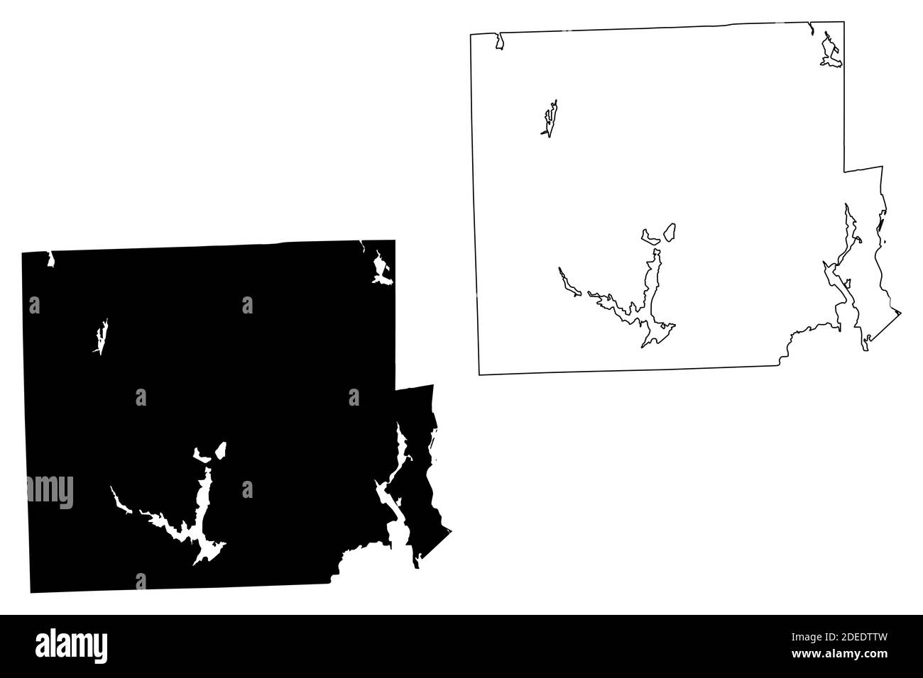