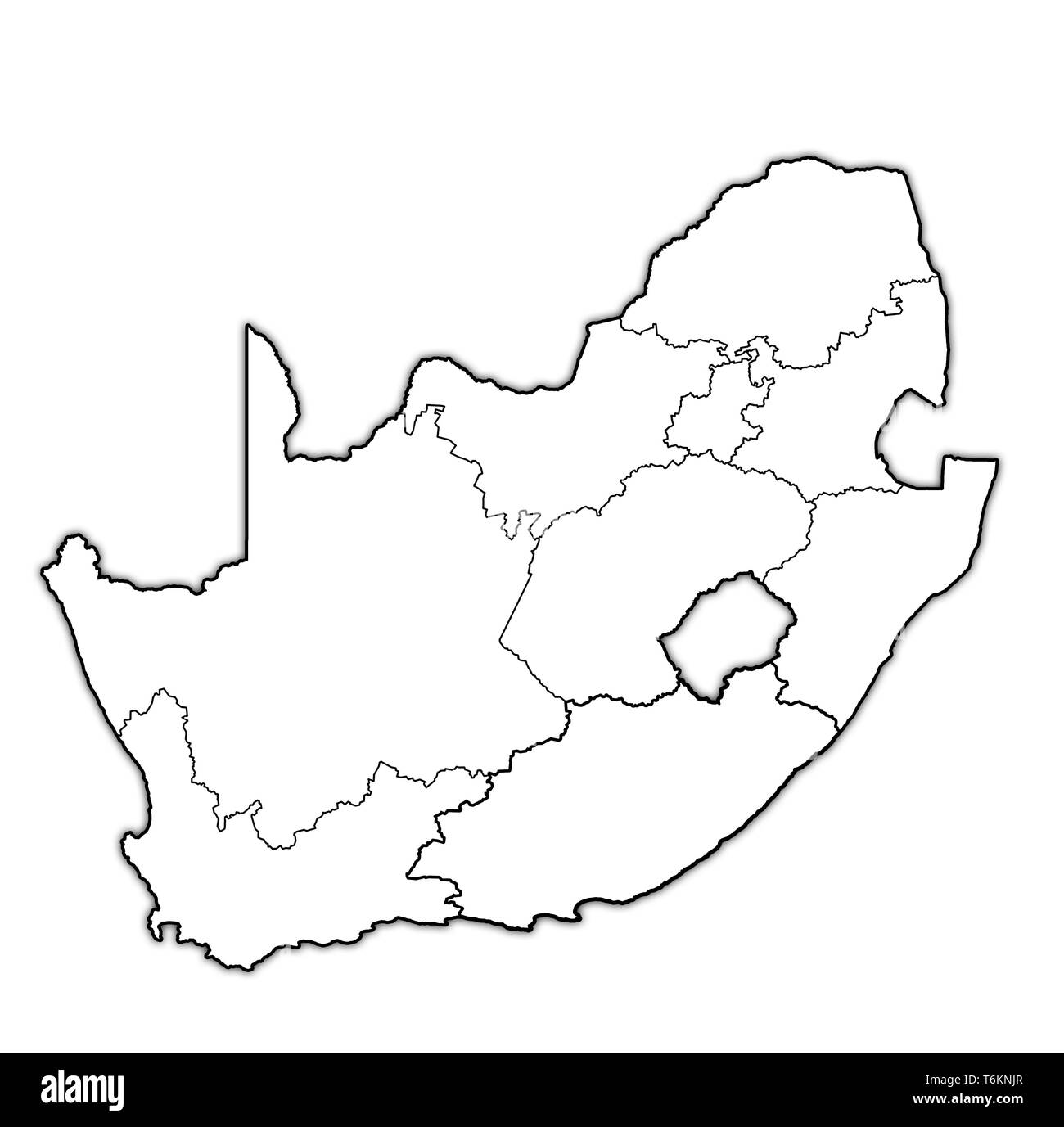
outlines of regions on map with administrative divisions and borders of south africa
RFID:Image ID:T6KNJR
Image details
Contributor:
michal812 / Alamy Stock PhotoImage ID:
T6KNJRFile size:
59.3 MB (522.7 KB Compressed download)Releases:
Model - no | Property - noDo I need a release?Dimensions:
4576 x 4531 px | 38.7 x 38.4 cm | 15.3 x 15.1 inches | 300dpiDate taken:
21 October 2014