···
Nantes map. Detailed vector map of Nantes city administrative area. Cityscape poster metropolitan aria view. Dark land with white streets, roads and a Image details Date created:
16 December 2020
More information:
Nantes map. Detailed vector map of Nantes city administrative area. Cityscape poster metropolitan aria view. Dark land with white streets, roads and avenues. White background.
Search stock photos by tags
Similar stock vectors Detailed map of Nantes city administrative area. Royalty free vector illustration. Cityscape panorama. Decorative graphic tourist map of Nantes territ Stock Vector https://www.alamy.com/image-license-details/?v=1 https://www.alamy.com/detailed-map-of-nantes-city-administrative-area-royalty-free-vector-illustration-cityscape-panorama-decorative-graphic-tourist-map-of-nantes-territ-image395803288.html RF 2DYXB3M – Detailed map of Nantes city administrative area. Royalty free vector illustration. Cityscape panorama. Decorative graphic tourist map of Nantes territ France map. National map of the world. Gray colored countries map series. Stock Vector https://www.alamy.com/image-license-details/?v=1 https://www.alamy.com/france-map-national-map-of-the-world-gray-colored-countries-map-series-image371105281.html RF 2CFN8G1 – France map. National map of the world. Gray colored countries map series. France-highly detailed physical map, in vector format,with all the relief forms,regions and big cities. Stock Vector https://www.alamy.com/image-license-details/?v=1 https://www.alamy.com/france-highly-detailed-physical-map-in-vector-formatwith-all-the-relief-formsregions-and-big-cities-image468049117.html RF 2J5DDBW – France-highly detailed physical map, in vector format,with all the relief forms,regions and big cities. Nantes, Loire-Atlantique, France high resolution vector map with city boundaries and editable paths. White outlines for main roads. Many detailed path Stock Vector https://www.alamy.com/image-license-details/?v=1 https://www.alamy.com/nantes-loire-atlantique-france-high-resolution-vector-map-with-city-boundaries-and-editable-paths-white-outlines-for-main-roads-many-detailed-path-image458419429.html RF 2HHPPJD – Nantes, Loire-Atlantique, France high resolution vector map with city boundaries and editable paths. White outlines for main roads. Many detailed path France higt detailed map with subdivisions. Administrative map of France with districts and cities name, colored by states and administrative district Stock Vector https://www.alamy.com/image-license-details/?v=1 https://www.alamy.com/france-higt-detailed-map-with-subdivisions-administrative-map-of-france-with-districts-and-cities-name-colored-by-states-and-administrative-district-image389461359.html RF 2DHHDX7 – France higt detailed map with subdivisions. Administrative map of France with districts and cities name, colored by states and administrative district Nantes, France map poster art Stock Vector https://www.alamy.com/image-license-details/?v=1 https://www.alamy.com/nantes-france-map-poster-art-image606439454.html RF 2X6HKKX – Nantes, France map poster art Brittany of France map symbol shape, travel web flat concept icon symbol vector . Stock Vector https://www.alamy.com/image-license-details/?v=1 https://www.alamy.com/brittany-of-france-map-symbol-shape-travel-web-flat-concept-icon-symbol-vector-image614926845.html RF 2XMC9D1 – Brittany of France map symbol shape, travel web flat concept icon symbol vector . Nantes map. Detailed map of Nantes city administrative area. Cityscape panorama. Royalty free vector illustration. Outline map with highways, streets, Stock Vector https://www.alamy.com/image-license-details/?v=1 https://www.alamy.com/nantes-map-detailed-map-of-nantes-city-administrative-area-cityscape-panorama-royalty-free-vector-illustration-outline-map-with-highways-streets-image395803089.html RF 2DYXATH – Nantes map. Detailed map of Nantes city administrative area. Cityscape panorama. Royalty free vector illustration. Outline map with highways, streets, River Loire map, Nantes city, France. Watercourse, water flow, blue on grey background road map. Vector illustration, detailed silhouette. Stock Vector https://www.alamy.com/image-license-details/?v=1 https://www.alamy.com/river-loire-map-nantes-city-france-watercourse-water-flow-blue-on-grey-background-road-map-vector-illustration-detailed-silhouette-image528047710.html RF 2NK2J6P – River Loire map, Nantes city, France. Watercourse, water flow, blue on grey background road map. Vector illustration, detailed silhouette. 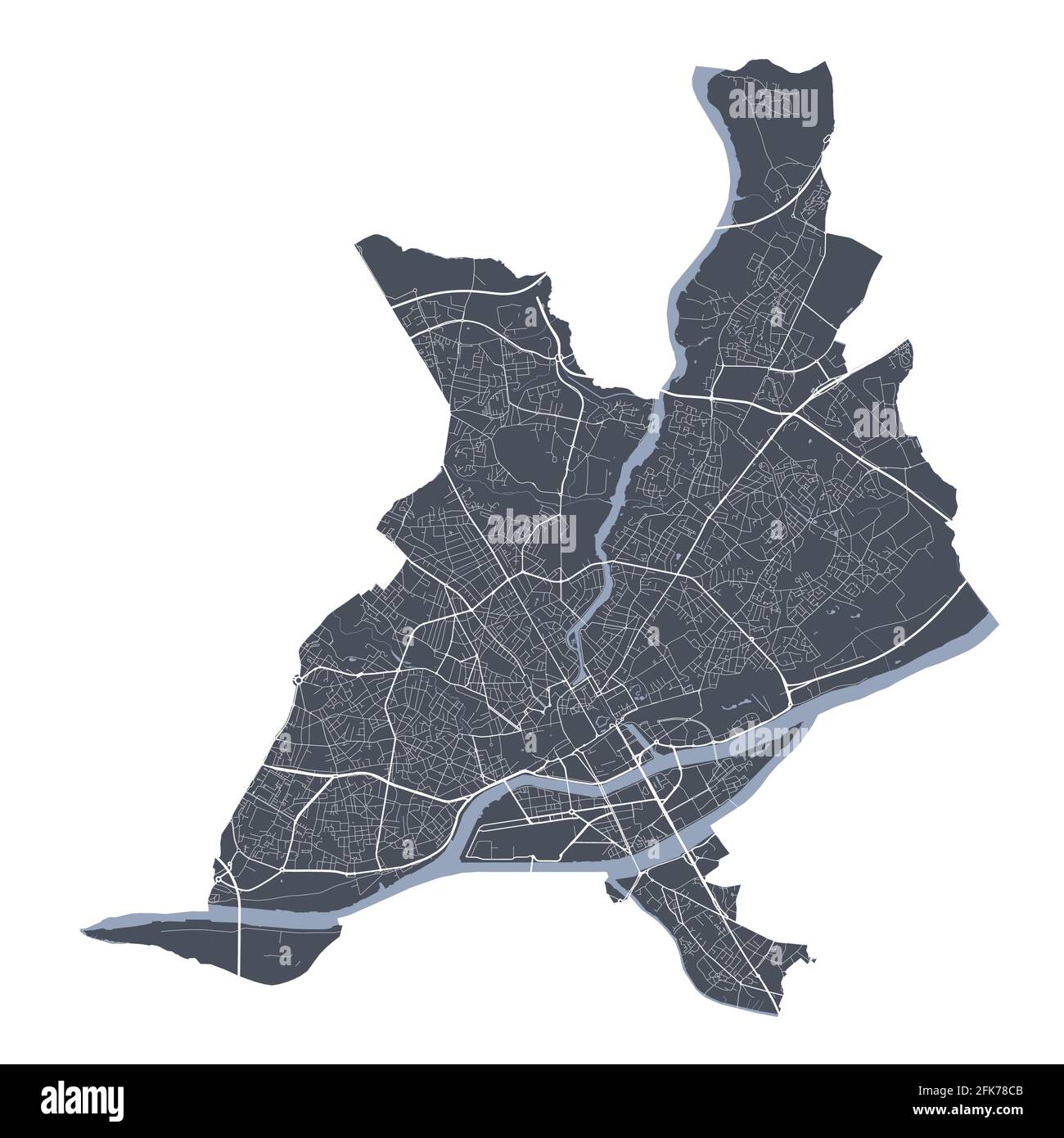