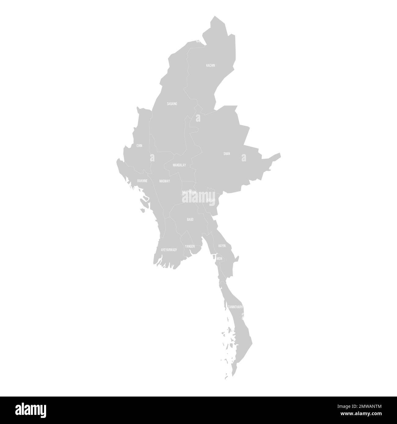
Myanmar political map of administrative divisions
RFID:Image ID:2MWANTM
Image details
Contributor:
pytyczech / Alamy Stock VectorImage ID:
2MWANTMReleases:
Model - no | Property - noDo I need a release?Location:
Czech RepublicMore information:
Myanmar political map of administrative divisions - states, regions and Naypyitaw Union Territory. Solid light gray map with white line borders and labels.