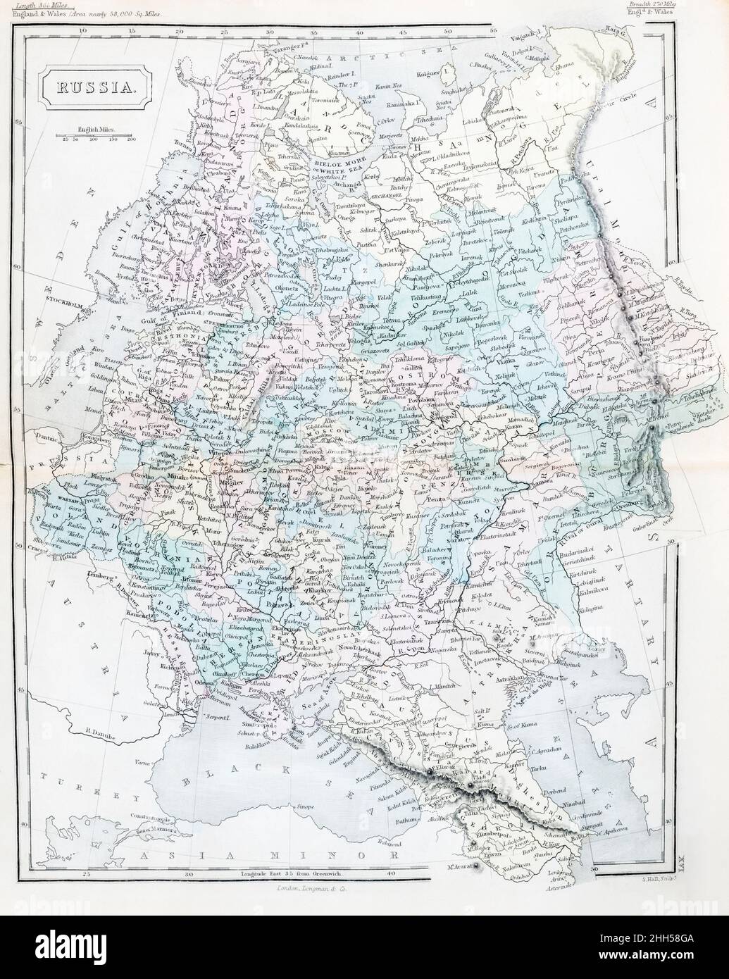
Mid 19th-century historical atlas map of Old Russia Empire, pre-Soviet USSR. For Russian history, current Ukraine events and Russian Crimea,
RMID:Image ID:2HH58GA
Image details
Contributor:
Marcus Harrison - geopolitics / Alamy Stock PhotoImage ID:
2HH58GAFile size:
107.4 MB (4.6 MB Compressed download)Releases:
Model - no | Property - noDo I need a release?Dimensions:
5468 x 6864 px | 46.3 x 58.1 cm | 18.2 x 22.9 inches | 300dpiDate taken:
21 January 2022Location:
ukMore information:
Missing title pages but inside the book is referred ti as DR. BUTLER'S MODERN ATLAS and is printed by Longman & Co. - The atlas is undated in terms of a printed publication date. I have a feeling this is from somewhere from 1840-1850 or 60 publication as it has a greater number of maps [28, and engraved by S. Hall] than previous editions. I have cleaned up surface blemishes such as pencil marks and dirty patches on the map, and in one or two instances retouched minor printed imperfections, but otherwise the digital image is true to the appearance of the original in my possession.