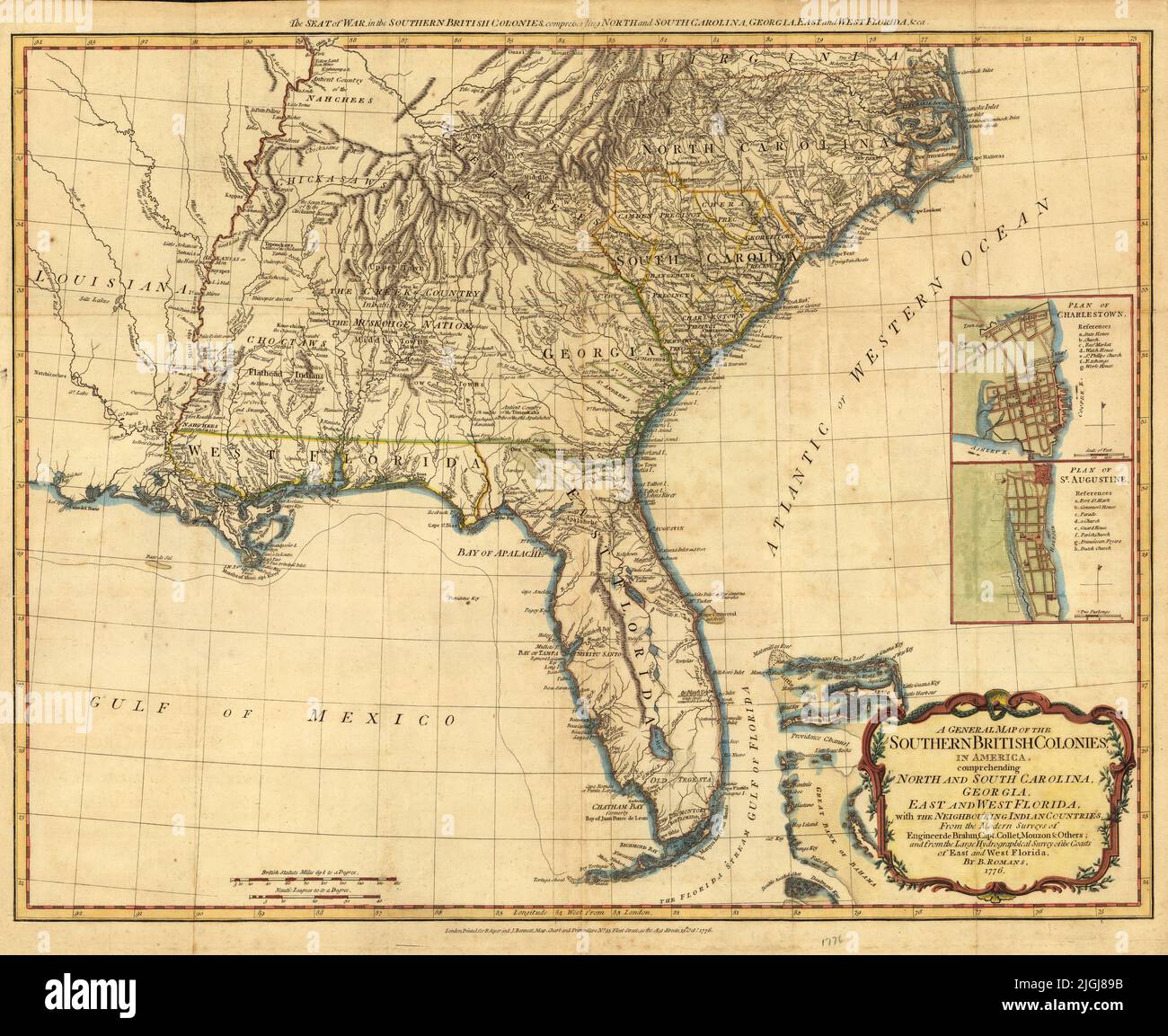
Map of the Southern British Colonies including North and South Carolina, Georgia, East and West Florida, 1776, by Bernard Romans
RFID:Image ID:2JGJ89B
Image details
Contributor:
Mouseion Archives / Alamy Stock PhotoImage ID:
2JGJ89BFile size:
87.5 MB (6.4 MB Compressed download)Releases:
Model - no | Property - noDo I need a release?Dimensions:
6114 x 5000 px | 51.8 x 42.3 cm | 20.4 x 16.7 inches | 300dpiDate taken:
1 January 2022More information:
This image is a public domain image, which means either that copyright has expired in the image or the copyright holder has waived their copyright. Alamy charges you a fee for access to the high resolution copy of the image.
This image could have imperfections as it’s either historical or reportage.